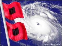
As many have though Leslie looks to be left behind from the trough/Kirk to its north with it getting caught in an area of light steering winds for few days south of Bermuda. I still do not see any reason why this will not be our first major cane of the season sometime over the next few days. Although I would say that chances of it reaching the U.S are slim I think a track near or west of Bermuda and likely just east of U.S coast looks most reasonable for now. As several troughs are seen coming of U.S through the next ten days thus it would likely feel the pull north/NE sometime in the next beyond 6 day time frame, thus alot of slow and at times random movement is expected between 4-7 days
|
