MikeC
|
| (Admin) |
| Fri Jul 08 2005 03:41 AM |
|
|
8:30AM 8 July 2005
Data from the Hurricane Hunters indicate that Dennis has undergone yet another period of rapid intensification, now with a pressure drop of 12mb to 938mb and an increase in surface winds to at least 140mph. This comes from sampling the southeast quadrant; it remains to be seen whether or not stronger winds exist in the northeast quadrant. At the very least, a bump up in intensity will occur at 11am.
7AM 8 July 2005
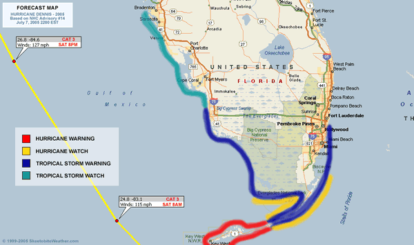
Hurricane Dennis has remained a Category 4, even after being slightly disrupted by the Cuban peninsula earlier. it still has more of Cuba to go over to once again get disrupted, but in the meantime it is over very warm water now and has a chance to hold or strengthen its current strength until that happens.

This has a potential to devistate the areas over Cuba it crosses.

After Cuba, it will pass very close to Key West (maybe just west) -- close enough to feel hurricane strength winds. After which it will move northwest into the Eastern Gulf. Probably 150 miles or so west of the west coast of Florida, staying far enough offshore that the hurricane winds won't be felt along the west coast, although tropical storm force may be.
The short term 24-48 forecast track has been very good so far and the ultimate track is still trending some where along the Panhandle west toward New Orleans. With the highest probability near where Hurricane Ivan hit last year. The chances for a peninsular hit in Florida are dropping quickly. Which is good news for us in Florida. However,e it still has not cleared Cuba, so we must watch it. Probably until it passes north of our latitude. Still there is no reason to doubt the National Hurricane Center track. This would have landfall sometime late Sunday or Early Monday.
I know the folks in the Panhandle and Alabama do not want to hear this. And my heart goes out to them.
Please listen to local officials and or media as the storm nears. Follow any evacuation orders necessary. But do not evacuate unless you are asked to or live in a vulnerable area.
Original Update
Category 4 Hurricane Dennis is now approaching Cuba and will landfall, maybe twice, over the island. It's likely to be disrupted somewhat and weaken, although how much is up for debate.


The forecast track still points toward a western Florida Panhandle, but those west toward New Orleans and Eastward along the Western coast of florida will still need to watch Dennis. After Dennis crosses Cuba we should know more.

Clark Evans writes more in his blog below that you may be interested in.
More to come later...
Site Note News talkbacks are now in lockdown mode, which means that unregistered users cannot reply.
You can still post in the other forums besides talkbacks. This enables us to moderate a lot better. I hate doing this, but I can see obvious signs of "storm stress" on a few individuals. We'll make it open again as soon as it calms down.
Registration is open for anyone, you can register Using this link. Then you will be able to reply here.
Hopefully this will only last a short time.
Event Related Links
FloridaDisaster.org - Florida Emergency Management
Monroe County/Florida Keys Emergency Management Bulletins
StormCarib hurricane reports from observers in the Islands - Jamaican StormCarib Reports
Caribbean Island Weather Reports
Guantanamo Bay, Cuba Radar
Florida Keys Long Range Radar Loop
Tampa Bay, FL Long Range Radar
Miami, FL Long Range Radar
Dennis
Animated Model Plot of Dennis
Model Plot Graphic from the South Florida Water Management District of Dennis
Dennis Spaghetti Model from boatus
Weather Underground Model Plots for Dennis
Quikskat Image of Dennis
Color Sat of Dennis
Floater Satellite (Visible) of Dennis with Storm Track Overlays
Cienfuegosa, Cuba Radar - (Animated)
RAMSDIS high speed visible Floater of Dennis
Forecast Discussions for (Show All Locations):
Tampa. Mobile Bay,
New Orleans, Key West, Tallahassee.
Melbourne