| metwannabe |
| (Weather Hobbyist) |
| Wed Sep 24 2008 11:51 AM |

|
|
|
Part of Ral NWC forecast discussion:
MEANWHILE GFS SUGGEST THAT THE SYSTEM MAY GAIN SOME
SUB-TROPICAL CHARACTERISTICS AS IT DEPICTS A WARM CORE AT 850MB BY
THIS EVENING INTO THU. GFS LOW LEVEL WIND FIELD HAS ALSO
STRENGTHENED WITH 850MB WINDS OF 60-70KTS PROJECTED FOR THE COASTAL
PLAIN BY DAYBREAK THU WITH 50-55KTS AT 925MB. MAY EVENTUALLY NEED A
WIND ADVISORY FOR THE EASTERN HALF OF CENTRAL NC FOR THURSDAY
MORNING.
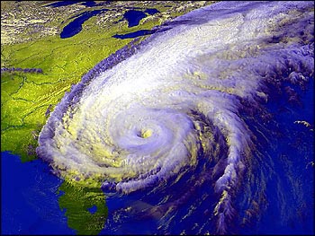
IR sat. loop this morning almost has the look of something sub-tropical, although I doubt any warm core has started to develop. Either way interesting discussion and it would appear that here in Eastern NC will see just as much wind and rain if not more than we saw with Hannah.