LI Phil
User

Reged: Fri
Posts: 2637
Loc: Long Island (40.7N 73.6W)
|
|
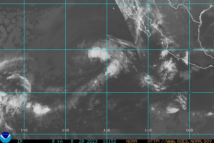
Looks like we got our second named storm in the EPAC by tomorrow afternoon...this one will be Beatriz...

--------------------
2005 Forecast: 14/7/4
BUCKLE UP!
"If your topic ain't tropic, your post will be toast"
|
Cycloneye11
Weather Hobbyist
Reged: Mon
Posts: 70
Loc: San Juan,Puerto Rico
|
|

Phil it looks impressive with banding,good outflow and a decent circulation.It will be Beatriz but wont be of long duration as it is headed to cooler waters and dry air in the next 48 hours.
|
Ryan
Storm Tracker

Reged: Tue
Posts: 281
Loc: Long Island, NY / Stuart, FL
|
|
Looks to discipate by the close of the weekend. 
--------------------
2006 Atlantic Season Summary:
Bad, But Not AS Bad.
Life's a Storm, Watch Your Back
|
Cycloneye11
Weather Hobbyist
Reged: Mon
Posts: 70
Loc: San Juan,Puerto Rico
|
|
TROPICAL STORM BEATRIZ DISCUSSION NUMBER 4
NWS TPC/NATIONAL HURRICANE CENTER MIAMI FL
8 AM PDT WED JUN 22 2005
IN CONTRAST TO THE DISTINCT AREAS OF CONVECTION THAT WERE
PRESENT OVERNIGHT...A SINGLE DEEP CONVECTIVE BAND NOW SEEMS TO BE
CONSOLIDATING IN THE NORTHERN SEMICIRCLE OF THE LARGE
CIRCULATION...AND CLASSIFICATIONS ARE A CONSENSUS 2.5. THE
SYSTEM IS THEREFORE UPGRADED TO A TROPICAL STORM. SHIP 9VVN AT 12Z
REPORTED 30 KT JUST SOUTHEAST OF THE ESTIMATED CENTER LOCATION AND
OUTSIDE OF THE DEEP CONVECTION...SO IT IS CONCEIVABLE THE WINDS ARE
SLIGHTLY STRONGER THAN THE ADVISORY INTENSITY OF 35 KT BENEATH THE
CONVECTION. HOWEVER...WE WILL WAIT TO INCREASE THE INTENSITY UNTIL
WE HAVE A LITTLE MORE CONFIDENCE IN THE CENTER LOCATION.
INITIAL MOTION REMAINS SOMEWHAT UNCERTAIN AND ESTIMATED AT
285/11...WHICH IS REASONABLY CONSISTENT WITH A SERIES OF MICROWAVE
OVERPASSES AND THE CLOUD PATTERN IN GOES IMAGERY. THE ADVISORY
POSITION IS SLIGHTLY BEHIND THE PACE OF THE PREVIOUS FORECAST
TRACK...BUT THE FORECAST OTHERWISE REMAINS ESSENTIALLY UNCHANGED.
BEATRIZ SHOULD CONTINUE ON A WEST-NORTHWESTWARD TRACK...ACCOMPANIED
BY GRADUAL INTENSIFICATION IN A MODERATE SHEAR ENVIRONMENT...UNTIL
REACHING AN AREA OF WEAKER STEERING CURRENTS AND COOLER WATERS IN
ABOUT DAYS. WEAKENING AND A TURN TOWARD THE WEST IN THE LOW
LEVEL FLOW IS EXPECTED THEREAFTER. THE INTENSITY FORECAST IS ONLY
SLIGHTLY GREATER THAN THE SHIPS GUIDANCE.
FORECASTER KNABB/FRANKLIN
FORECAST POSITIONS AND MAX WINDS
INITIAL 22/1500Z 14.8N 105.6W 35 KT
12HR VT 23/0000Z 15.2N 107.3W 45 KT
24HR VT 23/1200Z 15.8N 109.4W 50 KT
36HR VT 24/0000Z 16.3N 111.3W 55 KT
48HR VT 24/1200Z 16.7N 112.9W 55 KT
72HR VT 25/1200Z 17.0N 115.5W 40 KT
96HR VT 26/1200Z 17.0N 118.0W 30 KT
120HR VT 27/1200Z 17.0N 120.0W 20 KT...DISSIPATING
Officially Beatriz at 11 AM EDT but wont be of long duration as cooler and dry air awaits her to it's west.
|
Lysis-in-Texas
Unregistered
|
|
The is being a bit lackadaisical (Dvorak intensities now around 40 mph) , but I think Calvin and perhaps Dora will soon form in the East Pacific.
MM5 tracks it brushing against central America:
http://moe.met.fsu.edu/cgi-bin/mm5fsutc2...;hour=Animation
While the GDFL creates a major hurricane heading northwest out to sea:
http://moe.met.fsu.edu/cgi-bin/gfdltc2.c...;hour=Animation

http://www.ssd.noaa.gov/PS/TROP/DATA/RT/float2-ir4-loop.html
|
Ryan
Storm Tracker

Reged: Tue
Posts: 281
Loc: Long Island, NY / Stuart, FL
|
|
Quote:
The is being a bit lackadaisical (Dvorak intensities now around 40 mph) , but I think Calvin and perhaps Dora will soon form in the East Pacific.
i agree, this appears to be the begining of a possible period of activity in the EPAC, this wil definatley be an interesting one to follow or keep an eye on. My guess, it's bands bring heavy rain to certain areas..but i dont think it will landfall. It may just reach hurricane status before heading out to sea.
-------------
2005 Atlantic Season
Named-13  
Hurricanes-6 
Major-4 
Landfalling-3 
Areas of watch-Mid Atlantic, Carolina's
--------------------
2006 Atlantic Season Summary:
Bad, But Not AS Bad.
Life's a Storm, Watch Your Back
|


 Threaded


