F
Current Radar or Satellite Image

Flhurricane.com - Central Florida Hurricane Center - Tracking Storms since 1995Hurricanes Without the Hype! Since 1995


Special Tropical Weather Outlook issued for area in the East-Central Atlantic, only with 10% chance for development, not expected to do much.
Days since last H. Landfall - US: Any 238 (Idalia) , Major: 238 (Idalia) Florida - Any: 238 (Idalia) Major: 238 (Idalia)


Archives 2010s >> 2017 News Talkbacks

Pages: 1
MikeCAdministrator
Admin


Reged:
Posts: 4544
Loc: Orlando, FL
Hurricane Nate in the Gulf
      #99085 - Sat Oct 07 2017 12:36 PM

11:A0AM EDT 8 October 2017 Update
Nate made landfall overnight near Biloxi, MS after a brief clip of extreme Southeastern Louisiana. As a category 1 hurricane. Storm surge was seen in areas near the center and east of it, and now it is decaying over Northern Alabama bringing some flooding rains.

Another area in the East Atlantic may develop (91L), but it should remain far away from land areas.

5:30PM CDT 7 October 2017 Update
Nate's intensification has leveled off as a cat 1 borderline cat 2, and appears to making a run for the Mississippi Gulf coast.

Original Update
Hurricane Nate is currently an 85MPH category 1 hurricane and is forecast to be a category 2 hurricane by the time it makes landfall near Louisana/Mississipp late tonight. There exists a possibility this afternoon that it could strengthen more than expected, so please prepare as if it were a category 3 hurricane in the area and hope it stays weaker.

Nate should be landfalling in a very storm surge prone area, with 3-10 feet of surge possible in some areas along the Gulf coast. See The storm surge inundation map


For preparations, the problem is time, there's not much of it as rain is already beginning to impact parts of Louisiana, and this will spread east as the day goes on. Those in the area have until early afternoon.

It's worth noting that the eastern side of the storm is very strong, whereas te western side is fairly weak. Those on the west side of nate's eye will see much less impacts from those in to a fair bit east of the center of Nate. Partially due to rapid forward motion, where winds are added and driving surge onshore on the "right" side of the storm, and blowing offshore/weaker on the "left" side of the storm.

Please listen to local officials and media for more information. There are a few links below for some of it.

The flurricane twitter feed also rapid fires out additional information from various sources http://twitter.com/cfhc

Model discussions and more in the Nate Forecast Lounge.

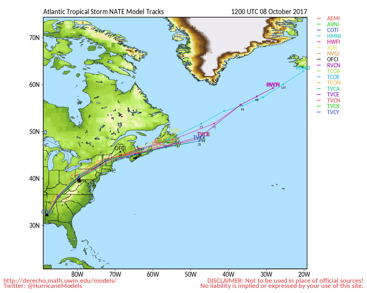
Additionally invest 91L is in the northeast Atlantic and has a 70% chance to develop, likely staying away from land.


North Gulf Links <html><a href="http://radar.weather.gov/Conus/southmissvly_loop.php" onMouseover="ddrivetip('<img src=\'http://radar.weather.gov/Conus/Loop/southmissvly_loop.gif\'>');" onMouseout="hideddrivetip();">North Gulf/Southern Mississippi Valley Composite Radar Loop</A>

(<a href="http://radar.weather.gov/Conus/southmissvly.php" 

onMouseover="ddrivetip('<img src=\'http://radar.weather.gov/Conus/RadarImg/southmissvly.gif'\>');" onMouseout="hideddrivetip();">Latest Static</a></html>) East to West:

<html> <a href="https://radar.weather.gov/ridge/lite/K</html>MOB<html>_loop.gif" onMouseover="ddrivetip('<img src=\'https://radar.weather.gov/ridge/lite/K</html>MOB<html>_loop.gif\'>');" onMouseout="hideddrivetip();"></html>Mobile, AL Radar<html> Radar Loop</A>

(<a href="https://radar.weather.gov/ridge/lite/K</html>MOB<html>_0.gif" onMouseover="ddrivetip('<img src=\'https://radar.weather.gov/ridge/lite/K</html>MOB<html>_0.gif\'>');" onMouseout="hideddrivetip();">Latest Static</a>)</html>

<html> <a href="https://radar.weather.gov/ridge/lite/K</html>LIX<html>_loop.gif" onMouseover="ddrivetip('<img src=\'https://radar.weather.gov/ridge/lite/K</html>LIX<html>_loop.gif\'>');" onMouseout="hideddrivetip();"></html>New Orleans, LA Radar<html> Radar Loop</A>

(<a href="https://radar.weather.gov/ridge/lite/K</html>LIX<html>_0.gif" onMouseover="ddrivetip('<img src=\'https://radar.weather.gov/ridge/lite/K</html>LIX<html>_0.gif\'>');" onMouseout="hideddrivetip();">Latest Static</a>)</html>

<html> <a href="https://radar.weather.gov/ridge/lite/K</html>LCH<html>_loop.gif" onMouseover="ddrivetip('<img src=\'https://radar.weather.gov/ridge/lite/K</html>LCH<html>_loop.gif\'>');" onMouseout="hideddrivetip();"></html>Lake Charles, LA Radar<html> Radar Loop</A>

(<a href="https://radar.weather.gov/ridge/lite/K</html>LCH<html>_0.gif" onMouseover="ddrivetip('<img src=\'https://radar.weather.gov/ridge/lite/K</html>LCH<html>_0.gif\'>');" onMouseout="hideddrivetip();">Latest Static</a>)</html>

<html> <a href="https://radar.weather.gov/ridge/lite/K</html>HGX<html>_loop.gif" onMouseover="ddrivetip('<img src=\'https://radar.weather.gov/ridge/lite/K</html>HGX<html>_loop.gif\'>');" onMouseout="hideddrivetip();"></html>Houston/Galveston, TX Radar<html> Radar Loop</A>

(<a href="https://radar.weather.gov/ridge/lite/K</html>HGX<html>_0.gif" onMouseover="ddrivetip('<img src=\'https://radar.weather.gov/ridge/lite/K</html>HGX<html>_0.gif\'>');" onMouseout="hideddrivetip();">Latest Static</a>)</html>

Gulf of Mexico Satellite Imagery

Area Forecast Discussions: Mississippi/Alabama/Pensacola - New Orleans, LA - Lake Charles, LA - Houston/Galveston, TX


Northeast Gulf Links <html><a href="http://radar.weather.gov/ridge/Conus/southeast_lite_loop.php" onMouseover="ddrivetip('<img src=\'http://radar.weather.gov/ridge/Conus/Loop/southeast_loop.gif\'>');" onMouseout="hideddrivetip();">Southeast Composite Radar Loop</A>

(<a href="http://radar.weather.gov/ridge/Conus/southeast_lite.php" 

onMouseover="ddrivetip('<img src=\'http://radar.weather.gov/ridge/Conus/RadarImg/southeast.gif\>');" onMouseout="hideddrivetip();">Latest Static</a></html>)

<html> <a href="https://radar.weather.gov/ridge/lite/K</html>TBW<html>_loop.gif" onMouseover="ddrivetip('<img src=\'https://radar.weather.gov/ridge/lite/K</html>TBW<html>_loop.gif\'>');" onMouseout="hideddrivetip();"></html>Tampa Bay, FL Radar<html> Radar Loop</A>

(<a href="https://radar.weather.gov/ridge/lite/K</html>TBW<html>_0.gif" onMouseover="ddrivetip('<img src=\'https://radar.weather.gov/ridge/lite/K</html>TBW<html>_0.gif\'>');" onMouseout="hideddrivetip();">Latest Static</a>)</html>

<html> <a href="https://radar.weather.gov/ridge/lite/K</html>BYX<html>_loop.gif" onMouseover="ddrivetip('<img src=\'https://radar.weather.gov/ridge/lite/K</html>BYX<html>_loop.gif\'>');" onMouseout="hideddrivetip();"></html>Key West, FL Radar<html> Radar Loop</A>

(<a href="https://radar.weather.gov/ridge/lite/K</html>BYX<html>_0.gif" onMouseover="ddrivetip('<img src=\'https://radar.weather.gov/ridge/lite/K</html>BYX<html>_0.gif\'>');" onMouseout="hideddrivetip();">Latest Static</a>)</html>

<html> <a href="https://radar.weather.gov/ridge/lite/K</html>MOB<html>_loop.gif" onMouseover="ddrivetip('<img src=\'https://radar.weather.gov/ridge/lite/K</html>MOB<html>_loop.gif\'>');" onMouseout="hideddrivetip();"></html>Mobile, AL Radar<html> Radar Loop</A>

(<a href="https://radar.weather.gov/ridge/lite/K</html>MOB<html>_0.gif" onMouseover="ddrivetip('<img src=\'https://radar.weather.gov/ridge/lite/K</html>MOB<html>_0.gif\'>');" onMouseout="hideddrivetip();">Latest Static</a>)</html>

<html> <a href="https://radar.weather.gov/ridge/lite/K</html>TLH<html>_loop.gif" onMouseover="ddrivetip('<img src=\'https://radar.weather.gov/ridge/lite/K</html>TLH<html>_loop.gif\'>');" onMouseout="hideddrivetip();"></html>Tallahassee FL Radar<html> Radar Loop</A>

(<a href="https://radar.weather.gov/ridge/lite/K</html>TLH<html>_0.gif" onMouseover="ddrivetip('<img src=\'https://radar.weather.gov/ridge/lite/K</html>TLH<html>_0.gif\'>');" onMouseout="hideddrivetip();">Latest Static</a>)</html>

<html> <a href="https://radar.weather.gov/ridge/lite/K</html>EVX<html>_loop.gif" onMouseover="ddrivetip('<img src=\'https://radar.weather.gov/ridge/lite/K</html>EVX<html>_loop.gif\'>');" onMouseout="hideddrivetip();"></html>Northwest Florida Radar<html> Radar Loop</A>

(<a href="https://radar.weather.gov/ridge/lite/K</html>EVX<html>_0.gif" onMouseover="ddrivetip('<img src=\'https://radar.weather.gov/ridge/lite/K</html>EVX<html>_0.gif\'>');" onMouseout="hideddrivetip();">Latest Static</a>)</html>

Gulf of Mexico Satellite Imagery

SFWMD Full Florida Radar (Includes east LA, MS,AL) Loop with Storm Track

Area Forecast Discussions: New Orleans - Mississippi/Alabama/Pensacola - Panhandle/Tallahassee - Tampa/West Central Florida


Various recordings for Nate


Post Extras: Print Post   Remind Me!   Notify Moderator  
MikeCAdministrator
Admin


Reged:
Posts: 4544
Loc: Orlando, FL
Re: Hurricane Nate in the Gulf [Re: MikeC]
      #99086 - Sat Oct 07 2017 12:58 PM

Recon is finding almost no wind all on the west side at Tropical Storm force (maybe 20mph at that)? All the strong wind is on the east side, so the fast forward motion is concentrating everything on the right side of the storm.

Post Extras: Print Post   Remind Me!   Notify Moderator  
MikeCAdministrator
Admin


Reged:
Posts: 4544
Loc: Orlando, FL
Re: Hurricane Nate in the Gulf [Re: MikeC]
      #99087 - Sat Oct 07 2017 02:36 PM

Recon is finding pressures lower on the most recent pass, may be up to Category 2 now. 90-95mph winds from recon. Also the system is west of the official track line. Moving VERY fast too. It has a shot at cat 3 before landfall, depends on if it hold together or not, and there are no obvious issues heading into the coast. East side remains where all the weather is.


Post Extras: Print Post   Remind Me!   Notify Moderator  
MikeCAdministrator
Admin


Reged:
Posts: 4544
Loc: Orlando, FL
Re: Hurricane Nate in the Gulf [Re: MikeC]
      #99089 - Sat Oct 07 2017 03:53 PM

High end of Surge estimates up to 7-11ft, coming in around the time of high tide in most of the places, it'll move quickly out though with the speed of the storm.

Post Extras: Print Post   Remind Me!   Notify Moderator  
MikeCAdministrator
Admin


Reged:
Posts: 4544
Loc: Orlando, FL
Re: Hurricane Nate in the Gulf [Re: MikeC]
      #99091 - Sat Oct 07 2017 04:54 PM

Recon observation extrapolated pressure down to 975-977mb, no vortex message yet to confirm.

Post Extras: Print Post   Remind Me!   Notify Moderator  
MikeCAdministrator
Admin


Reged:
Posts: 4544
Loc: Orlando, FL
Re: Hurricane Nate in the Gulf [Re: MikeC]
      #99093 - Sat Oct 07 2017 06:10 PM

Some good news is that the cloud tops are warming (meaning probably weakening a bit)

Post Extras: Print Post   Remind Me!   Notify Moderator  
MikeCAdministrator
Admin


Reged:
Posts: 4544
Loc: Orlando, FL
Re: Hurricane Nate in the Gulf [Re: MikeC]
      #99097 - Sun Oct 08 2017 01:28 AM

after clipping extreme SE Lousiana it seems to be holding around its current intensity, the HurricaneTrack gulfport camera shows the most dramatic video so far of surge starting to happen

http://www.ustream.tv/channel/aKNCVDnVdsP


Post Extras: Print Post   Remind Me!   Notify Moderator  
M_Islander
Registered User


Reged:
Posts: 1
Re: Hurricane Nate in the Gulf [Re: MikeC]
      #99098 - Sun Oct 08 2017 09:19 AM

Graphic and update has Sept 7 should be October.

Post Extras: Print Post   Remind Me!   Notify Moderator  
Pages: 1


Extra information
0 registered and 1 anonymous users are browsing this forum.

Moderator:  

Print Topic

Forum Permissions
      You cannot start new topics
      You cannot reply to topics
      HTML is disabled
      UBBCode is enabled

Rating:
Topic views: 18788

Rate this topic

Jump to

Note: This is NOT an official page. It is run by weather hobbyists and should not be used as a replacement for official sources. 
CFHC's main servers are currently located at
Hostdime.com in Orlando, FL.
Image Server Network thanks to Mike Potts and Amazon Web Services. If you have static file hosting space that allows dns aliasing contact us to help out! Some Maps Provided by:
Great thanks to all who donated and everyone who uses the site as well. Site designed for 800x600+ resolution
When in doubt, take the word of the National Hurricane Center