MikeC
Admin
Reged: Sun
Posts: 4543
Loc: Orlando, FL
|
|
11:15PM EDT Update 19 July 2008
Cristobal has not intensified this evening...in fact, the satellite and radar presentations look rather unhealthy with very limited convection restricted to the southeast quadrant in occasional, non-sustaining bursts. The intensity is being held at 40kts.
Tropical Strom Warning has been discontinued from the Little River inlet southward; all other warnings remain in place.
The forecast philosophy has not changed. Environmental conditions appear favorable for at least modest intensification, despite the system not availing of them. Shear is light, outflow is good, and SST are amply warm enough considering Cristobal's proximity to the Gulf Stream. In about 2 days, the steering field will begin taking on more SW to SSW vectors and Cristobal will likely be accelerated northeastward at those time ranges. The intensity forecast is still taking Cristobal to 55kts, but until we see appreciable improvement in the convective process, this may be generous. The average of the track guidance indicates a general northeast progress in route to the westerlies. This should keep the system close to the Carolina coasts, then passing seawards of the upper Mid Atlantic and southern New England areas. Nonetheless, continued monitoring of Cristobal's progress is still warranted.
John (typhoon_tip)
2:15PM EDT Update 19 July 2008
Recent reconnaissance mission has detected a 44kt flight level wind, which extrapolates to 40mph Tropical Cyclone. Cristobal was named as of 2pm.
A tropical storm warning remains in effect from south of Santee River in SC to the NC border with VA, including Pamlico Sound.
Models continue to be rather weak with development expectations, perhaps do to the proximity with land. However, at least for the next 2 days, warm SSTs combined with weak shear, and decent outflow aloft should allow for some gradual strengthening. Cristobal is moving northeast near 7 mph. Steering field, for the time being, remains rather weak. However, in 2-3 days, a trough amplifying in the Great Lakes and eventually northeastern U.S., will strengthen more SW or SSW flow aloft, and this will most like capture the tropical cyclone.
John (typhoon_tip)
********************************************************************
Original Post
Tropical Depression 3 has formed off of the Carolina Coast, a Tropical Storm Warning is up from the Santee River in South Carolina to the North Carolina / Virginia Border.
94L in the Caribbean will continue to be watched.
More to come later...
Event Related Links
Long Term Radar Recording of TD#3 HCWX Level 3 Radar Recording/TD#3
Southeast Radar Composite (loop)
Jacksonville Radar Radar Loop
(Latest Static)
Melbourne Radar Radar Loop
(Latest Static)
Charleston, SC Radar Radar Loop
(Latest Static)
Wilmington, NC Radar Radar Loop
(Latest Static)
Morehead City, NC Radar Radar Loop
(Latest Static)
Wakefield/ Norfolk/ VA Beach, VA Radar Radar Loop
(Latest Static)
StormCarib Reports from the Caribbean Islands
Caribbean Weather Observations
Barbados Brohav Weather Fax
Full Caribbean Radar Composite
Caribbean Broadcast Corporation (TV/Radio from Antilles)
San Juan, PR NWS Page
Various Caribbean Radio Stations
DR1 Dominican Republic Hurricanes
Bertha Event Related Links


SFWMD Model Plot (Animated Model Plot) SFWMD Hurricane Page
[https://flhurricane.com/floatanimator.php?year=2008&storm=2 Flhurricane Satellite Floater Animation of Bertha
GOES Floater
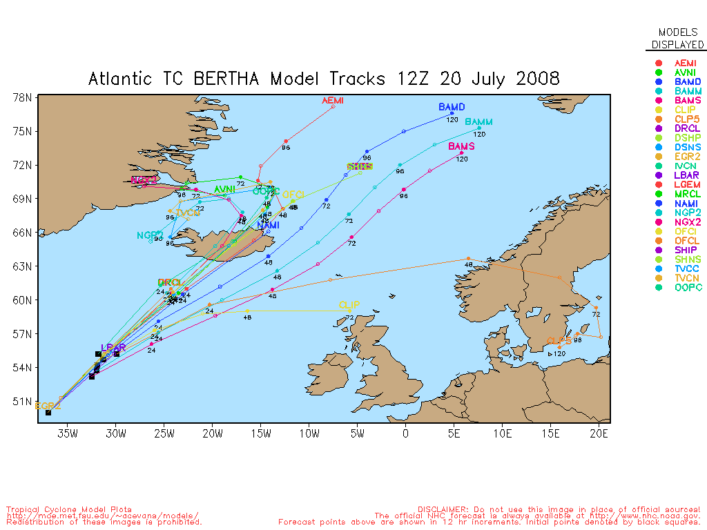
Animated Model Plot of Bertha
Clark Evans Track Model Plot of Bertha
(Animated!) Model Plots in Google Earth - In Google Maps
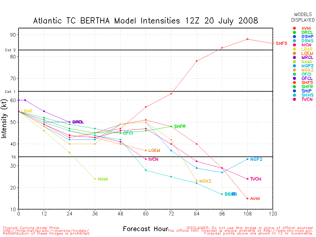
Clark Evans Intensity Model Plot of Bertha (Animated!)
Clark Evans Track Plot of Bertha
Other Model Charts from Clark
Clark Evans Top 10 Analog Storms for Bertha
More model runs on from RAL/Jonathan Vigh's page
NRL Info on Bertha -- RAMMB Info
COD Atlantic Satellite View
94L Event Related Links


SFWMD Model Plot (Animated Model Plot) SFWMD Hurricane Page
[https://flhurricane.com/floatanimator.php?year=2008&storm=4 Flhurricane Satellite Floater Animation of 94L
GOES Floater
Animated Model Plot of 94L
Clark Evans Track Model Plot of 94L
(Animated!) Model Plots in Google Earth - In Google Maps
Clark Evans Intensity Model Plot of 94L (Animated!)
Clark Evans Track Plot of 94L
Other Model Charts from Clark
Clark Evans Top 10 Analog Storms for 94L
More model runs on from RAL/Jonathan Vigh's page
NRL Info on 94L -- RAMMB Info
COD Atlantic Satellite View
Cristobal Event Related Links


SFWMD Model Plot (Animated Model Plot) SFWMD Hurricane Page
[https://flhurricane.com/floatanimator.php?year=2008&storm=3 Flhurricane Satellite Floater Animation of Cristobal
GOES Floater
Animated Model Plot of Cristobal
Clark Evans Track Model Plot of Cristobal
(Animated!) Model Plots in Google Earth - In Google Maps
Clark Evans Intensity Model Plot of Cristobal (Animated!)
Clark Evans Track Plot of Cristobal
Other Model Charts from Clark
Clark Evans Top 10 Analog Storms for Cristobal
More model runs on from RAL/Jonathan Vigh's page
NRL Info on Cristobal -- RAMMB Info
COD Atlantic Satellite View
|
metwannabe
Weather Hobbyist

Reged: Wed
Posts: 92
Loc: NC
|
|
NHC 8:00 am public advisory stated the system had been moving erratically, but it appears to me that the center has tried to redevelop a little further east closer to the deep convection. Is this possible or just one of those sat illusions? Fairly impressive band to the north/northeast about to roll on shore around NC/SC border. 
--------------------
Fran, Bertha, Dennis & Floyd (Tag Team)
|
DarleneCane
Verified CFHC User

Reged: Sat
Posts: 20
Loc: Miami Beach, FL
|
|
Banding on TD 3 looks more consistent with a well organized Tropical Storm. Have seen many tropical storms that looked more like 94 yet kept TS status.
I know there are many parameters for an upgrade. It can seem confusing.
Satellite presentation has improved all day.
Good logical reason given for why the models aren't playing with it as much as 94 that they haven't dropped.
I was surprised they didn't upgrade at 11.
However, I am impressed with the burst of convective energy in 94 currently.
Which system is recon currently in? I am confused on this.
Thanks. Love the energy on this board. Great evaluations of evolving cyclones!

--------------------
Scratch my back with a lightning bolt
Thunder rolls like a bass drum note
The sound of the weather is Heaven's ragtime band
|
scottsvb
Weather Master
Reged: Mon
Posts: 1184
Loc: fl
|
|
Correct weathernet... that is a midlevel vort from last nights T-Storms.. and very good post you did. The LLC (from what I can tell) is actually just west of the convection further south near 14.5 N and 79.5W moving west. It may reform further north.. then again it may just never develop. If it does... I do agree with the direction the models take it.. towards the Yucituan. If it doesnt.. its a central american rainmaker!
|
craigm
Storm Tracker

Reged: Wed
Posts: 327
Loc: Palm City, Florida
|
|
Recon is finding some 54mph SFC winds around 94L
Please correct me if I'm reading this wrong
Should 94L posts go into the forecast lounge? I'm getting confused .
Time:
16:36:30Z
Coordinates:
16.08N 78.67W
Acft. Static Air Press:
977.6 mb (~ 28.87 inHg)
Acft. Geopotential Hgt:
278 meters (~ 912 feet)
Extrap. SFC. Press:
1009.8 mb (~ 29.82 inHg)
D-value:
-
Flt. Lvl. Wind (30s):
From 79° at 33 knots (From the E at ~ 37.9 mph)
Air Temp:
19.4°C (~ 66.9°F)
Dew Pt:
19.4°C (~ 66.9°F)
Peak (10s) Flt. Lvl. Wind:
35 knots (~ 40.2 mph)
SFMR Peak (10s) SFC. Wind:
47 knots (~ 54.0 mph)
SFMR Rain Rate:
10 mm/hr (~ 0.39 in/hr)
(*) Denotes suspect data
--------------------
Why I'm here:
Weather hobbyist
Edited by craigm (Sat Jul 19 2008 01:10 PM)
|
Ed in Va
Weather Master
Reged: Fri
Posts: 489
Loc:
|
|
Just starting to see some high level clouds on the OBX. It's a little hard to tell, but it looks like the center is moving due north at this point.
http://www.ssd.noaa.gov/goes/flt/t3/sloop-vis.html
--------------------
Survived Carol and Edna '54 in Maine. Guess this kind of dates me!
|
Brett Addison
Registered User
Reged: Wed
Posts: 9
|
|
I don't understand why 94l won't develop. What kind of conditions does this storm require (35C water temp, 0 knots of wind shear, 100% humidity levels, 200 kJ cm-2 TCHP, 500m depth for 26C temp). Conditions are becoming increasingly favorable for development and if this doesn't develop then something is wrong. I would think TD#3 would have less of a chance for developing then 94l given the conditions it's in. Any thoughts?
|
scottsvb
Weather Master
Reged: Mon
Posts: 1184
Loc: fl
|
|
94L is mostly a midlevel system...it has a weak LLC but it mainly a trough in the midlevel and models keep forecasting this to get better organized. It may or may not before C America. It has till Monday morning.
|
Ed Dunham
Former Meteorologist & CFHC Forum Moderator (Ed Passed Away on May 14, 2017)
Reged: Sun
Posts: 2565
Loc: Melbourne, FL
|
|
Just a reminder to all to review the various Forum descriptions before you post. If your post contains dialogue about projections from the various storm models, then your post belongs in the Forecast Lounge (and it will be moved to that Forum - often without explanation if we are busy). You can really assist the site Moderators on this by putting it there in the first place. I'm sure that they would appreciate your help on this 'point of emphasis' for this season.
Thanks,
ED
|
cieldumort
Moderator

Reged: Mon
Posts: 2305
Loc: Austin, Tx
|
|
So far, SFMR measurements of the max surface winds within 94L were taken at
16:01:30Z 16.08N 76.42W and were 52 knots (59.8MPH)
94L has been getting battered around by a bit from a few different sources, but the ULL to its northwest that has been imparting quite a bit of shear is showing some indications that it is coalescing a touch more north-northwest of 94.. and may be pulling ahead (to the west) a touch faster now , which could help offer 94L another window to establish a meaningful LLCC, and ultimately a tight-enough closed surface circulation. Should and once this happens, it is almost certain that this invest would go strait to a name, skipping TD classification.
|
weatherguy08
Weather Hobbyist
Reged: Thu
Posts: 60
Loc: Miami, Fla.
|
|
Looks like TD3 is now Cristobal in the 2:00 pm package from the !
"...CRISTOBAL FORMS OFF THE SOUTH CAROLINA COAST...LIKELY TO
STRENGTHEN..."
|
Storm Hunter
Veteran Storm Chaser

Reged: Wed
Posts: 1370
Loc: Panama City Beach, Fl.
|
|
Yep! we have TS Cristobal... Recon is flying around right now... off of South Carolina... on first pass through center.. pressure was 1007mb and MAX FL WIND 0UTBOUND 45 KT NE QUAD 17:17:30Z... there at 1,500ft flying
Also recon is in 94L right now too... they made a pass through what i think would be the low center... there are now just east of the island of isle de san andres at 1pm cdt...
--------------------
www.Stormhunter7.com ***see my flight into Hurricane Ike ***
Wx Data: KFLPANAM23 / CW8771
2012== 23/10/9/5 sys/strms/hurr/majh
|
Hugh
Senior Storm Chaser
Reged: Fri
Posts: 1060
Loc: Okaloosa County, Florida
|
|
Recon seems to be finding T.S. force winds in 94L, but I gather no closed low still?
--------------------
Hugh
Eloise (1975) - Elena and several other near misses (1985) - Erin & Opal (1995) - Ivan (2004)
|
Storm Hunter
Veteran Storm Chaser
Reged: Wed
Posts: 1370
Loc: Panama City Beach, Fl.
|
|
yes and no... the 2pm had
"A STRONG TROPICAL WAVE LOCATED IN THE WESTERN CARIBBEAN SEA IS
PRODUCING THUNDERSTORMS AND STRONG WINDS WITH GUSTS ABOVE TROPICAL
STORM FORCE. AN AIR FORCE RECONNAISSANCE AIRCRAFT IS CURRENTLY
INVESTIGATING THE SYSTEM TO DETERMINE IF IT HAS A CLOSED
CIRCULATION. "
and looks like recon is heading back to the island of St. Croix... (base)
I only see one dropsonde data set... and that makes me wanna say, they couldn't close off a circulation... but will have to see..
--------------------
www.Stormhunter7.com ***see my flight into Hurricane Ike ***
Wx Data: KFLPANAM23 / CW8771
2012== 23/10/9/5 sys/strms/hurr/majh
|
JoshuaK
Weather Guru
Reged: Mon
Posts: 159
Loc: Lakeland, FL
|
|
The given position for the low level circulation center was 14N 78W by the Hurricane Hunter plane. I managed to spot the indicated area on satellite imagery, and it seems that since the Hunter had left the system, that there has been a blow up of convection directly over the indicated low level circulation center. I would not be suprised if it was declared a closed circulation now.
|
MichaelA
Weather Analyst

Reged: Thu
Posts: 945
Loc: Pinellas Park, FL
|
|
I'm still not seeing a closed circulation there. There may be one trying to form, but we've seen that several times with this one. Tomorrow may tell a different story.
--------------------
Michael
PWS
|
Storm Hunter
Veteran Storm Chaser
Reged: Wed
Posts: 1370
Loc: Panama City Beach, Fl.
|
|
agree... don't see a closed center... However a band of convection did fire up over the low... and i think it will take 12hrs or so for it to get going... the shear appears to becoming better with ever hr.... and this wave should slow down some too in movement... tonight i think we will see a big blow up of convection..
Close Up
--------------------
www.Stormhunter7.com ***see my flight into Hurricane Ike ***
Wx Data: KFLPANAM23 / CW8771
2012== 23/10/9/5 sys/strms/hurr/majh
|
Random Chaos
Weather Analyst

Reged: Sat
Posts: 1024
Loc: Maryland
|
|
A note on 94L:
Quickscat isn't picking up circulation yet. Thus I doubt it is a closed low yet. However, the convective flareup on IR is quite good, so we could see the low closing and a TD forming relatively soon, if it can hold a center together.
|
cieldumort
Moderator
Reged: Mon
Posts: 2305
Loc: Austin, Tx
|
|
A tip: When checking QuikSCAT, it's helpful to note the time stamp of when the pass was taken. The image linked above is from a pass taken at 7:35 AM EDT, and is no longer applicable to real-time conditions at the surface.
|
Ed Dunham
Former Meteorologist & CFHC Forum Moderator (Ed Passed Away on May 14, 2017)
Reged: Sun
Posts: 2565
Loc: Melbourne, FL
|
|
It is worth noting that the latest shear forecasts reverse the downward trend and again increase northwesterly shear across the entire Caribbean Sea. All other factors would favor a slow intensification, however the shear may continue to hold any significant development of 94L in check for a couple of more days. Unless the movement of the wave should slow down a bit (which is possible), that would put the tropical wave very near or over the Yucatan before the windshear relaxes.
ED
|


 Threaded


