MikeC
Admin
Reged:
Posts: 4544
Loc: Orlando, FL
|
|
Lounge discussion on the wave in the Atlantic currently referred to as 95L.
|
Storm Hunter
Veteran Storm Chaser

Reged:
Posts: 1370
Loc: Panama City Beach, Fl.
|
|
the 00Z wants to take either the 94L/95L... is going off the deep end in about 4 days... crazy... don't think i have ever seen the go that strong on a system that has not developed, but most likely will.
--------------------
www.Stormhunter7.com ***see my flight into Hurricane Ike ***
Wx Data: KFLPANAM23 / CW8771
2012== 23/10/9/5 sys/strms/hurr/majh
|
craigm
Storm Tracker

Reged:
Posts: 327
Loc: Palm City, Florida
|
|
What's going on around 8N in between 94L and 95L?
http://www.ssd.noaa.gov/goes/east/tatl/avn-l.jpg
Lot of confusion with this many suspect systems.
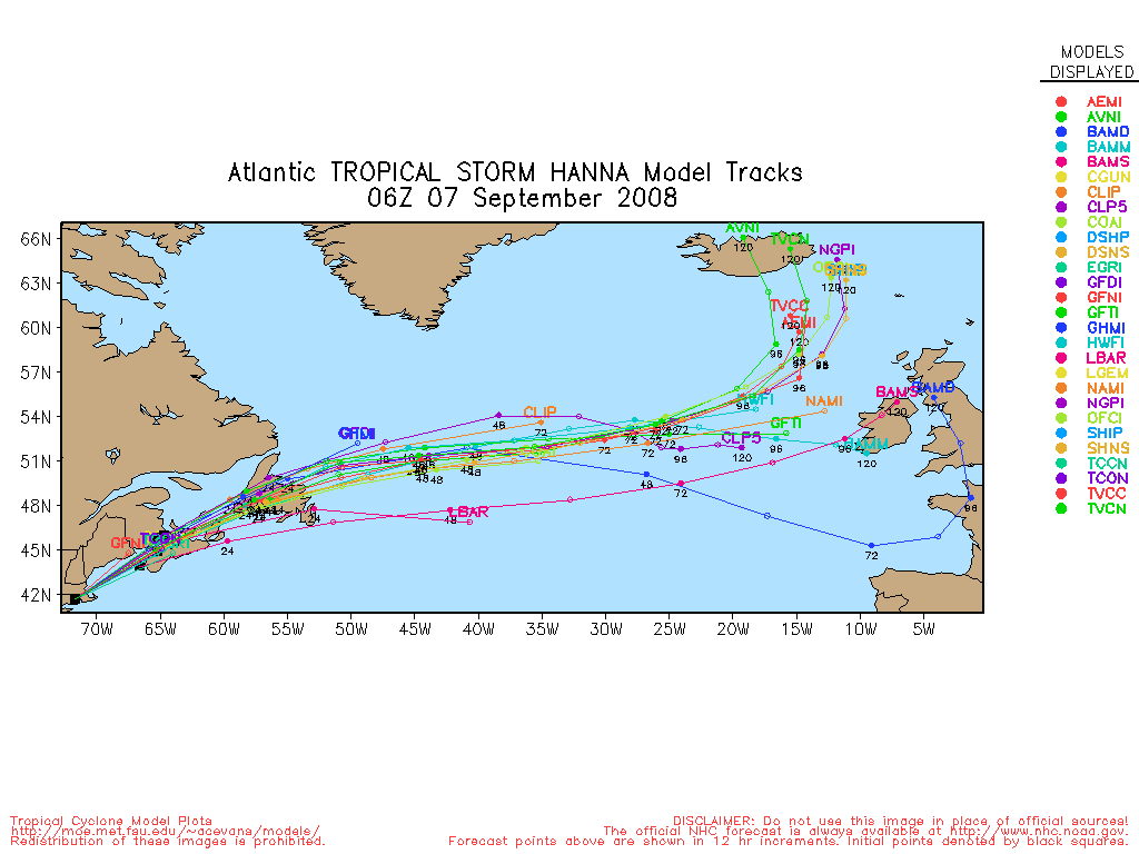
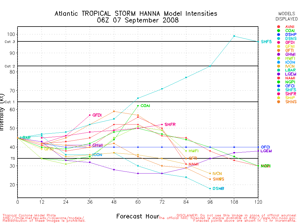
SSD is calling the feature at 18N 40 W as 95L while the models are initializing 2 different areas as 95L - one at 18N 40W the other further south around 13N 38W - see attached model plots
--------------------
Why I'm here:
Weather hobbyist
Edited by craigm (Fri Aug 22 2008 04:49 PM)
|
MichaelA
Weather Analyst

Reged:
Posts: 944
Loc: Pinellas Park, FL
|
|
Which is 95L? The floater is focused on the area near 40W; 18N.
--------------------
Michael
PWS
|
mbjohn
Registered User

Reged:
Posts: 1
Loc:
|
|
The was doing a similar prediction for what was Fay when it was still east of the Lesser Antilles.
|
Robert
Weather Analyst

Reged:
Posts: 364
Loc: Southeast, FL
|
|
It could be an upper and lower level circualtion displaced again like fay. This was evident alot in 2005 when and where seperate systems upper mid lower ect that combined wierd stuff makes me think how the 1935 labor day hurricane came togethor. Not saying this what is happening. just things to think about. I kinda like the idea of 94l sorta go across venesula out into the pacific and 95L takes over and develops on w to wnw course. Then there is the idea 95L and 94L develop 95 L probally tangling that troughy are of the bahamas and southeast us coast. 95L goes out or tangles with carolina north while 94l blufs florida then head through the gulf, or into belize.
|
Crusadier95
Registered User

Reged:
Posts: 7
Loc:
|
|
I'm not completely sure but, I believe wave 95L is located 20.0N 50.0W :?: I'm predicting that it will form into a TS at 20.4N 62.1W but, shouldn't get any stronger then a 
|
doug
Weather Analyst
Reged:
Posts: 1006
Loc: parrish,fl
|
|
Interesting but all runs want to deepen this, and darned if today it does not look healthier. It is more likely a seaborne system however.
The next one off Cape Verde now has promise too..
--------------------
doug
|
MichaelA
Weather Analyst
Reged:
Posts: 944
Loc: Pinellas Park, FL
|
|
Convection has really increased this afternoon, but I can't see a LL circulation yet. With the ULL just to its West, I'd think that it would move NW around the eastern side of that. Also a couple of banding features have formed to its South. The area in the eastern Atlantic has a broad circulation, but has little convection with it. 95L looks nearly stationary today, too.
--------------------
Michael
PWS
|
WeatherNut
Weather Master
Reged:
Posts: 412
Loc: Atlanta, GA
|
|
It looks as if the center of 95L that was being tracked has shifted a bit south of the original area. It looks healthier to me right now than Gustav. The formation further south could mean a more westward track depending on how fast it developes.
--------------------
Born into Cleo (64)...been stuck on em ever since
|
hwood
Unregistered
|
|
I am not a expert by any means,but Gustav looks real sick. I don't see how this is a TS at this point. It has been torn to pieces. If anything it looks like the LLC is moving SW or maybe SSW. Anyone else seeing the same thing?
Just doesn'tseem to be moving much. Are there any troughs forecasted to come down after the one that is suppose to turn it northward? Wondering if we could see a substantial change in forecast track?
|
gusisgone
Unregistered
|
|
it appears that gus has been defeated by the mts of haiti. odd how we go from a potential cat4 to barely a wave. sat clearly backs up this post and this is great news! of course the is officially what we want to listen to but look at poor old gus, hes clearly on his death bed.
This is just about a Grave Yard post. Probably should be...be careful!
Edited by Storm Cooper (Thu Aug 28 2008 01:49 AM)
|
saluki
Weather Hobbyist
Reged:
Posts: 57
Loc: Fort Lauderdale, FL
|
|
The overnight models for 95L are cause for a bit of concern. Several of them, after depicting movement to the northwest for a few days, show a storm that turns south/southwest and deepens about 200 miles east of the Bahamas by early next week (the , as is often the case, goes bonkers). I was hoping for a fish-spinner with this one, and that certainly could still happen, but it seems like there's a lot of uncertainty. Should be interesting to see what tomorrow brings, as well as the next few days.
|


 Threaded


