Ed Dunham
Former Meteorologist & CFHC Forum Moderator (Ed Passed Away on May 14, 2017)
Reged: Sun
Posts: 2565
Loc: Melbourne, FL
|
|
Update: Friday, Sept. 20, 4:30PM EDT
Manuel's mid-level circulation entered Texas today, and the interaction of Manuel's remnants with an approaching front is helping draw little ol' 95L northwest to even north-northwesterly now, just offshore of extreme northeastern Mexico, and even up to just south of Brownsville, Tx.
The potential ingestion of 95L into this much larger hybrid frontal system could shut down the Gulf for a few days, but there are still some model runs that almost insist on a dynamic which works with 95L, and develops it - either in the northern Gulf, or once out over the Gulf Stream - and northeast of Florida.
Regardless of future developments or not of whatever is left of 95L, widespread flooding is now ongoing in Texas, with many counties already seeing rainfall totals approaching half a foot.
Ciel
Update: Thursday, Sept. 19, 1:15PM EDT
Ingrid is no more, having pushed into old Mexico. However, moisture from Ingrid's remains have led to flooding in eastern Mexico, and also scattered tropical showers and storms over much of south Texas.
Invest 95L is where all the Atlantic attention is now, and frankly, there still isn't much to talk about. 95L's structure remains impressive, pressures remain very low for an Invest, and one would think that by now the system could have gelled into a depression. However, if it's not one thing, it's another, for 95L, and most recently a surprising resurgence of Eastern Pacific Manuel has led to increased shear and dry air encroachment over the disturbance.
As Manuel winds down over old Mexico, 95L should have a much better chance of becoming a tropical cyclone on Friday, provided it has not already pushed too far inland. After that, an approaching cold front should keep 95L, or whatever it is this weekend, from entering the US, at least for a few days. Beyond 72 hours there is still much in question, and discussion regarding 95L's prospects and likely future path has been active in the Forecast Lounge (95L) .
Elsewhere, Humberto is struggling to maintain as a bare-bones tropical depression, heading east to northeast, and off the east coast a few clusters of storms along a frontal trough are being monitored for possible subtropical development - with any such development likely heading well away from the states.
Ciel
Update: Tuesday, Sept. 17, 6PM EDT
East Pac Manuel has regenerated south of the Gulf of California, and continues to send copious moisture into Mexico, with some of this also getting into Texas. Additionally, Manuel's moisture has blended with the remnants of Ingrid, together resulting in widespread heavy rains over much of central Mexico, particularly right up against and over the mountains, with resultant flooding rains likely to continue for several more days.
Invest 95L now has a 60% chance of becoming a tropical cyclone within the next 48 hours, per .
95L is a reasonably well-defined, yet still somewhat broad, area of low pressure, with scattered moderate, to occasionally widespread deep convection, slowly continuing to organize. In the near-term, the biggest impediment to 95L's prospects continues to be its interaction with land (mostly the Yucatan Peninsula & Belize). However, it is already trying to come together despite so much of it being over land, thus should more of the disturbance get back out over open waters, generation into a full-fledged tropical depression, or named storm, could be rapid.
Interests all along the Gulf coast, from eastern Mexico to western Florida, may want to begin watching 95L closely. There is a distinct possibility that the system, in whatever shape it is in, gets drawn more north, or even northeast, later this week, or next.
Further out at sea, long-lived Humberto is struggling to retain its identity as a tropical cyclone, and appears increasingly that it is already succumbing to extra-tropical transition. Over several more days, Humberto may fully change over to a potent Post-Tropical Cyclone, potentially bringing heavy weather towards western Europe and Iceland.
Ciel
Update: Monday, Sept. 16, 10AM EDT
Ingrid made landfall near La Pesca, Mexico, well to the south of Brownsville, Texas, at 16/12Z as a strong Tropical Storm. Ingrid is expected to continue to move inland and weaken. The primary threat will be heavy rains and flooding today and Tuesday in central Mexico.
Ex-Humberto has a high probability of redevelopment in the central Atlantic as it turns northwestward into a break in the Atlantic ridge.
Other active tropical waves are located near the Yucatan Peninsula (Invest 95L), in the eastern Caribbean Sea and east southeast of Barbados.
ED
Original Post: Sunday, Sept. 15, 10:49AM EDT
At 15/12Z, Ingrid was located about 150 miles east of Tampico, Mexico, with movement to the northwest at 6kts. Central pressure has increased to 990MB based on the latest Recon at 15/1322Z with maximum flight level winds at 55 knots. In fact the last four center fixes have not found any winds of hurricane strength and northwesterly windshear coupled with some upwelling of cooler water has probably weakened Ingrid to TS strength. Don't know if will continue with hurricane intensity, but the intermittent eye feature has not been seen for quite a few hours and the overall convective structure is not as organized.
Regardless of Ingrid's classification, the cyclone will still produce heavy flooding rains over portions of southeast Mexico. Forward motion seems to have slowed somewhat during the past few hours and the NW shear has displaced the convection to the southeast.
At 15/12Z the Ex-Humberto low pressure center was located at 25.9N 39.8W and the system is now just about stationary. Sustained winds are at 35 knots and the central pressure was 1007MB. Convection is still displaced to the northeast of the center and the low-level and mid-level centers have decoupled. SSTs are at 26C. If the structure can improve, may reinitialize advisories tonight or Monday.
ED
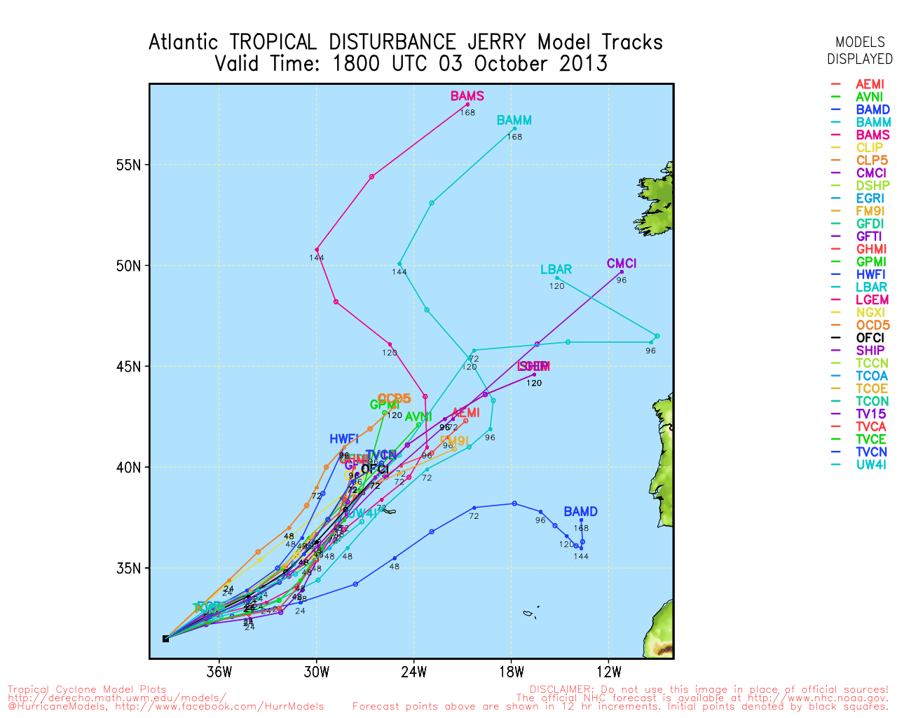
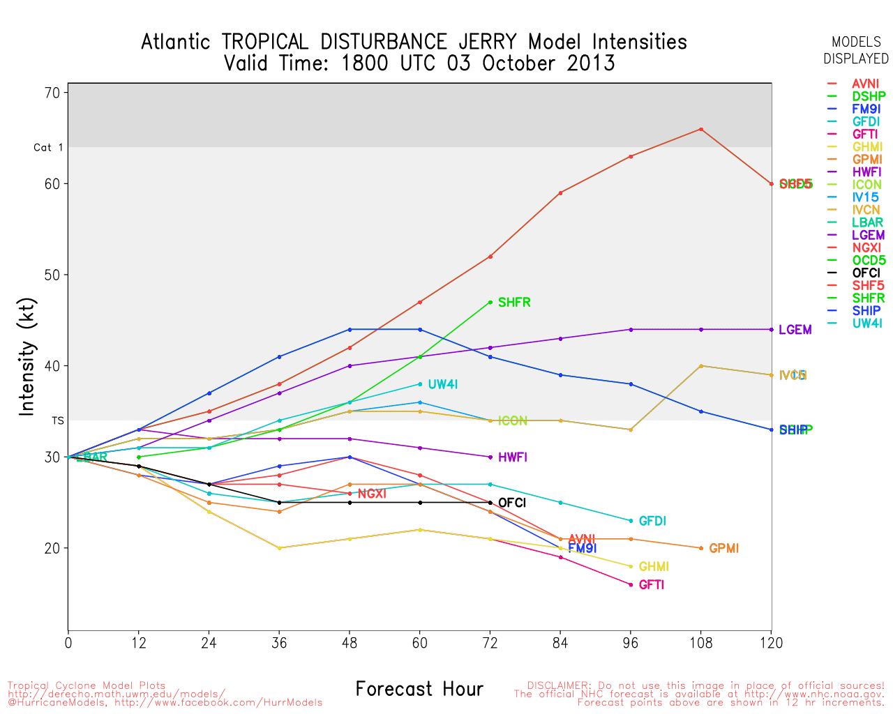
Invest 95L Event Related Links


SFWMD Model Plot (Animated Model Plot) SFWMD Hurricane Page
[https://flhurricane.com/floatanimator.php?year=2013&storm=11 Flhurricane Satellite Floater Animation of 95L
GOES Floater
Animated Model Plot of 95L
Clark Evans Track Model Plot of 95L
(Animated!) Model Plots in Google Earth - In Google Maps
Clark Evans Intensity Model Plot of 95L (Animated!)
Clark Evans Track Plot of 95L
Other Model Charts from Clark
Clark Evans Top 10 Analog Storms for 95L
More model runs on from RAL/Jonathan Vigh's page
NRL Info on 95L -- RAMMB Info
COD Atlantic Satellite View
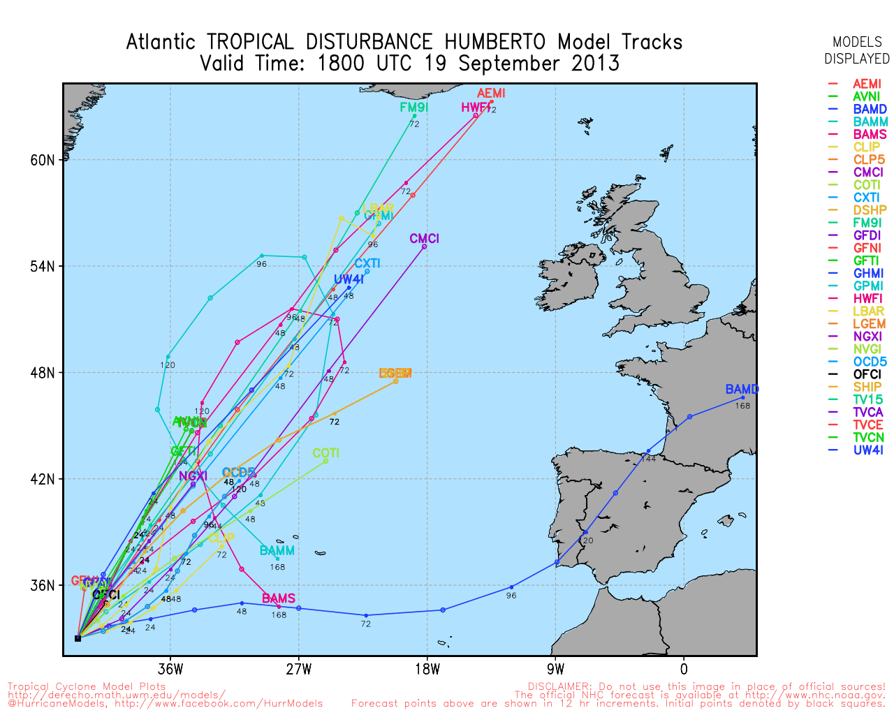
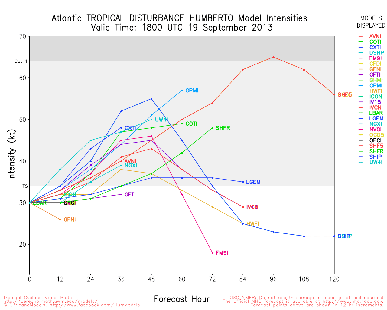
Humberto Event Related Links


SFWMD Model Plot (Animated Model Plot) SFWMD Hurricane Page
[https://flhurricane.com/floatanimator.php?year=2013&storm=9 Flhurricane Satellite Floater Animation of Humberto
GOES Floater
Animated Model Plot of Humberto
Clark Evans Track Model Plot of Humberto
(Animated!) Model Plots in Google Earth - In Google Maps
Clark Evans Intensity Model Plot of Humberto (Animated!)
Clark Evans Track Plot of Humberto
Other Model Charts from Clark
Clark Evans Top 10 Analog Storms for Humberto
More model runs on from RAL/Jonathan Vigh's page
NRL Info on Humberto -- RAMMB Info
COD Atlantic Satellite View
Ingrid Event Related Links


SFWMD Model Plot (Animated Model Plot) SFWMD Hurricane Page
[https://flhurricane.com/floatanimator.php?year=2013&storm=10 Flhurricane Satellite Floater Animation of Ingrid
GOES Floater
Animated Model Plot of Ingrid
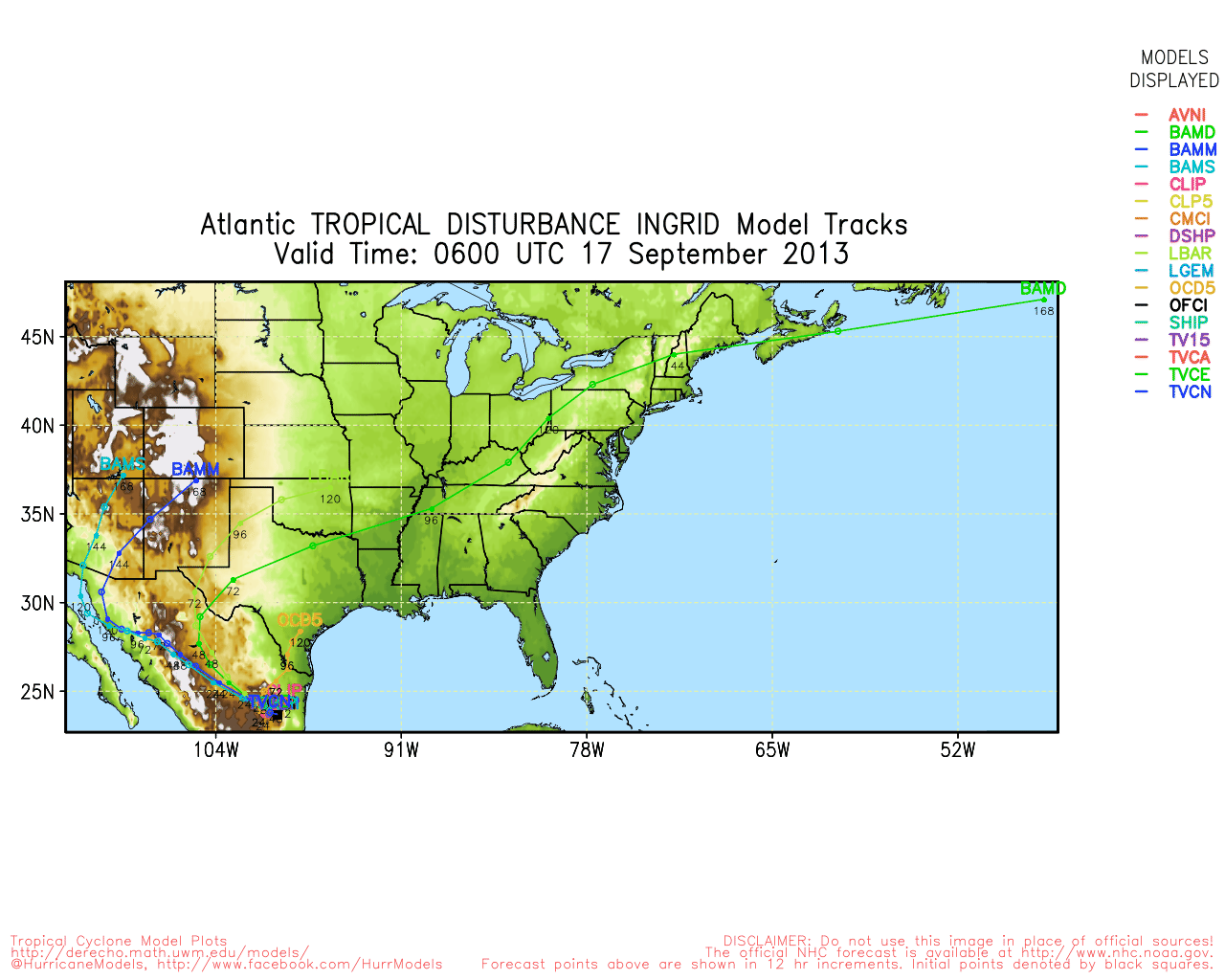
Clark Evans Track Model Plot of Ingrid
(Animated!) Model Plots in Google Earth - In Google Maps
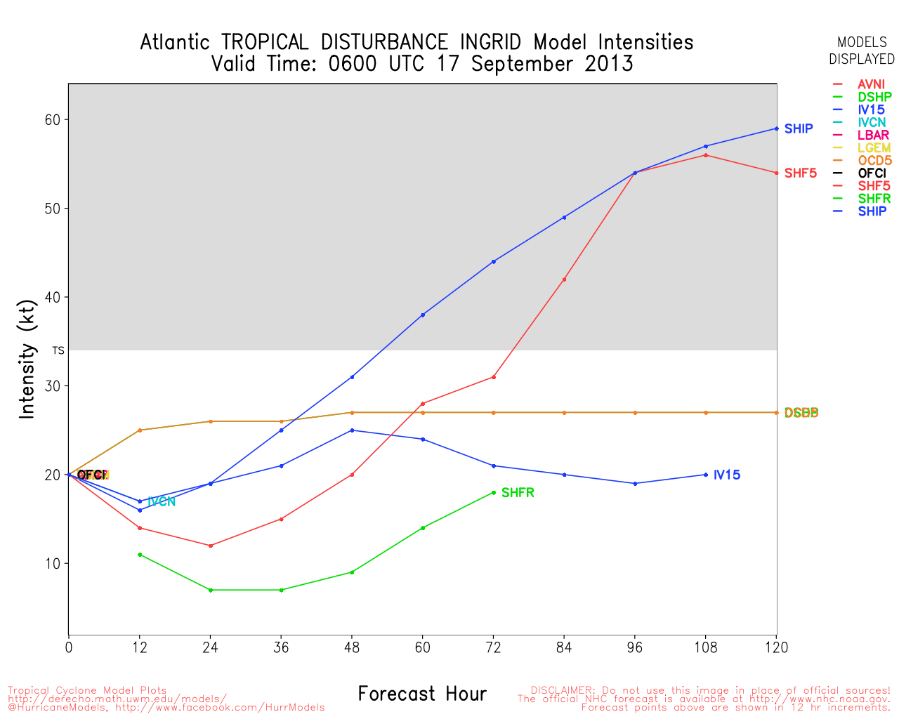
Clark Evans Intensity Model Plot of Ingrid (Animated!)
Clark Evans Track Plot of Ingrid
Other Model Charts from Clark
Clark Evans Top 10 Analog Storms for Ingrid
More model runs on from RAL/Jonathan Vigh's page
NRL Info on Ingrid -- RAMMB Info
COD Atlantic Satellite View
Edited by cieldumort (Fri Sep 20 2013 04:55 PM)
|
Ed Dunham
Former Meteorologist & CFHC Forum Moderator (Ed Passed Away on May 14, 2017)
Reged: Sun
Posts: 2565
Loc: Melbourne, FL
|
|
Tropical Depression Ingrid continues to soak east central Mexico as the weakening system crawls westward. Humberto is once again a weak Tropical storm in the central Atlantic - with eventual movement to the north and some strengthening likely. Invest 95L appears to have moved inland over the Yucatan Peninsula north of Belize. Convection is impressive and slow development is possible if the system makes it into the GOM.
ED
|
|


 Threaded


