|
This ends on June 4th, for late June 4th-11th see Part 3 and Part 4 for June 11th onward
Be aware, there are a LOT of static images that can take a while to load, you can adjust playback speed, swing, or reverse the images.
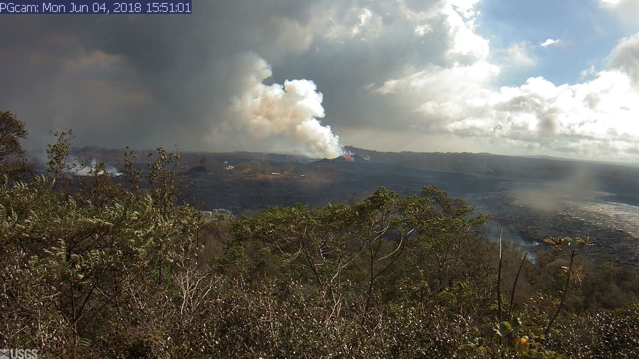
These images are recorded from the USGS webcam sourced from https://volcanoes.usgs.gov/observatories/hvo/webcam.html?webcam=PGcam..
View is overlooking Leilani Estates, the green building in the foreground (that gets overtaken) is part of Puna Geothermal Venture (PGV)
Older Camera Images from May 4 - May 26 available at Part 1, May 4-26th PG Camera Images
USGS Kilauea Status Updates - Hawaii County Civil Defense Alerts
Official USGS Maps -
Unofficial Community Lava Map - Another Unofficial Map - Yet another unofficial map. (Use multiple sources, the community estimates come from a variety of sources!)
Updated Sources of info, Hawaii Tracker, Scott Wiggers @ Apau Hawaii Tours Video Series
Image Last Checked: 10:00 PM Jun 04 Image Last Updated: 9:56 PM Jun 04
Check out the experimental image animator with a date range bar and auto-refresh for this recording.
263716
|