MikeC
Admin
Reged:
Posts: 4544
Loc: Orlando, FL
|
|
6:45PM EDT Update
Also beyond, TD#15, another system in the Southwestern Caribbean is likely for Development tonight or tomorrow. This system is moving generally northwest. Nicaragua, Honduras, and the Northwestern Caribbean will need to watch this one.
10:50AM EDT Update
The 15th tropical depression has formed, in the Central/Eastern Caribbean. The current forecast track takes it over Puerto Rico as a Tropical Storm.
Original Update
An active wave in the Eastern Caribbean is likely to develop into a depression or storm today, the current projections place it over Hispaniola (Again!) and will have to be watched by them and Puerto Rico as well as the Virgin Islands.
It is likely to move generally to the northeast.
More to come soon...
Nana continues to move west northwest, and will likely not last past 24 hours before it dissipates.
|
Storm Hunter
Veteran Storm Chaser

Reged:
Posts: 1370
Loc: Panama City Beach, Fl.
|
|
so the navy has 99L.INVEST now... wow... October is busy now... I'm interested in the western Carb. system... when it starts moving north more... i think it has the best chance to develope at this point to be something to watch... especially for Cuba.. Jamica... etc. NW. Carb.
--------------------
www.Stormhunter7.com ***see my flight into Hurricane Ike ***
Wx Data: KFLPANAM23 / CW8771
2012== 23/10/9/5 sys/strms/hurr/majh
Edited by Storm Hunter (Mon Oct 13 2008 05:57 PM)
|
MichaelA
Weather Analyst

Reged:
Posts: 944
Loc: Pinellas Park, FL
|
|
The and hwrf move it along the Nicaraguan coast into Belize while the fsu-merge has it follow 15L. Of course, future model runs will have more substantial data input.
--------------------
Michael
PWS
|
LoisCane
Veteran Storm Chaser

Reged:
Posts: 1236
Loc: South Florida
|
|
What could be Paloma looks to be a wild card as it's hard to say for sure what that will do. 15 seems to be your typical "get me out of here" November sort of system but not sure on the other area that looks like it should or could be a depression soon.. if not more.
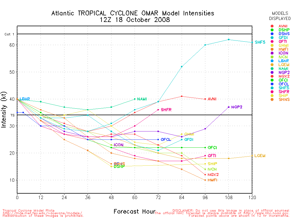
Amazing after such a quiet time we could be a day or so away from having Omar and Paloma. Go figure. The lull definitely seems to be over in the tropics!
--------------------
http://hurricaneharbor.blogspot.com/
|
Hugh
Senior Storm Chaser
Reged:
Posts: 1060
Loc: Okaloosa County, Florida
|
|
The models may be onto something with regard to 99L, but it doesn't make sense climatologically to me. October systems are more likely to move poleward, aren't they? It seems very odd that TD15 (future Omar?) is forecast to move northeast, which 99L/future potential Paloma is forecast to move west.
--------------------
Hugh
Eloise (1975) - Elena and several other near misses (1985) - Erin & Opal (1995) - Ivan (2004)
|
stormchazer
Storm Tracker

Reged:
Posts: 315
Loc: Central Florida
|
|
The models are seeing High Pressure building over the GOM. If 99L was more east it would likely linger until a weakness developed but right now the models see it going in to CA.
The Tampa Bay force field is working this year for the whole state of Florida.
--------------------
Jara
*************************************************************
|
ShanaTX
Storm Tracker
Reged:
Posts: 226
Loc: Texas
|
|
Navy has 90L.INVEST now... looks like it's S of Nana. says < 20% chance of development in next 48 hours. But it sure looks like more than a bunch of thunderstorms to me... but I could be confused.
|
cieldumort
Moderator

Reged:
Posts: 2305
Loc: Austin, Tx
|
|
The tropical Atlantic has turned back on very much according to climatology, in that we are hitting the October secondary-maximum that is often seen before the usual long goodnight into winter weather. This climatological upswing is related to a substantial increase in thunderstorm activity associated with increased basin-wide instability. However, unlike September, shear is much more pronounced over a much larger area. This environment tends to be supportive of smaller, weaker and shorter-lived systems, and so far, this is about what we have been seeing.
TD-15 looks to be caught in a cull region of very weak steering currents. Even though models and the official forecast seem to insist on sending it off to the northeast, if its current erratic drifting continues as the trough to its north hesitates on diving much farther south, 15 could become quite a bit more landlocked in the Caribbean than advertised, and could eventually begin following 99L to the west-northwest. Definitely a number to watch for all with interests in the Caribbean, eastern Mexico, central America, and possibly even the southern United States. Not a whole lot holding this one back from strengthening, either, and things could even become much more interesting if the upper-level trof opens up an outflow channel to 15's northeast the next few days.
99L is another upgrade just waiting to happen. The scooting off to its northwest should continue to pull this deepening incipient tropical cyclone either into or around central America, eventually leaving open the door for the Yucatan to eastern Mexico, and, perhaps, some risk for the southern U.S. Several days out still making the odds of this all a bit clouded. Intensity-wise, upper-level conditions are beyond superb, and so, despite its size, 99L has an environment very favorable for some rapid intensification upside surprises. Its one single potential impediment to such rapid intensification is proximity to and interaction with land.
Nana has almost become nada, leaving the door open for 90L to become more dominant. 90L is one of those smaller satellite systems that, had it been closer to home, recon certainly would have flown and likely found to be another stunning micro-tropical cyclone, the incredible second of this season that has set several all-time records in the Atlantic basin, and now even at least one if not two global records, as well. Maybe reanalysis will do 90L that justice, even if it does get upgraded Tuesday. Either way, it's probably mostly a fish spinner.
|


 Threaded


