F
Current Radar or Satellite Image

Flhurricane.com - Central Florida Hurricane Center - Tracking Storms since 1995Hurricanes Without the Hype! Since 1995


The 2024 Atlantic Hurricane Season Begins on June 1st and lasts until Nov 30th. NHC Outlooks resume on May 15th..
Days since last H. Landfall - US: Any 238 (Idalia) , Major: 238 (Idalia) Florida - Any: 238 (Idalia) Major: 238 (Idalia)


Archives 2020s >> 2021 News Talkbacks

Pages: 1
cieldumort
Moderator


Reged:
Posts: 2305
Loc: Austin, Tx
Hurricane Warned Elsa
      #113849 - Tue Jul 06 2021 06:09 PM

Follow Up
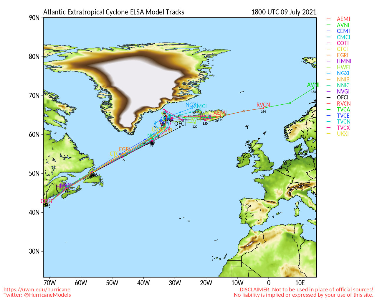
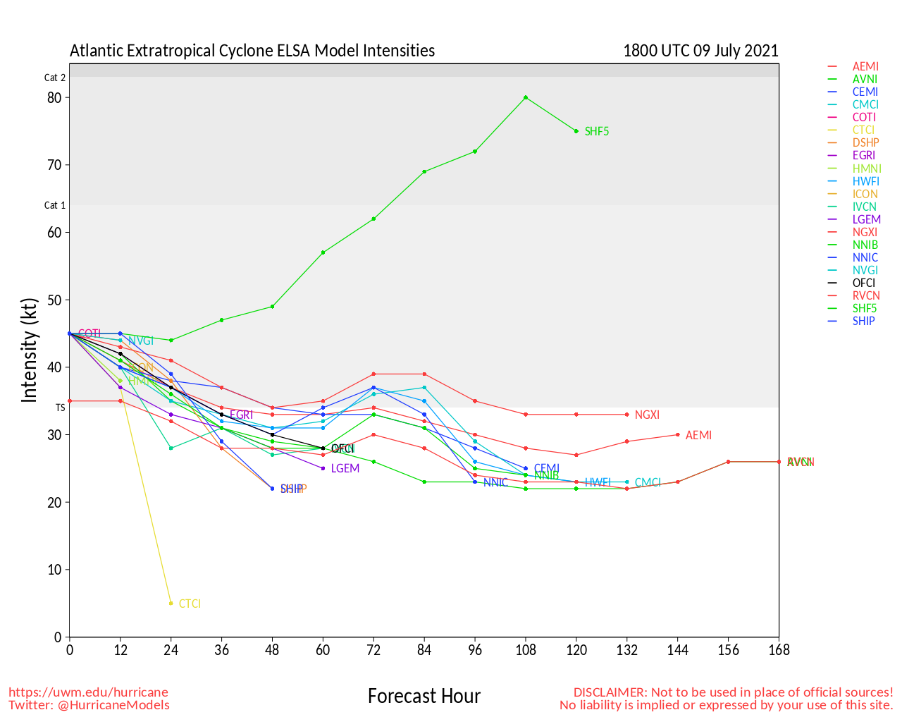
Strong shear after Elsa regained hurricane strength knocked most of the energy out of Elsa fairly quickly, most of the worst weather was felt in bands far to the east, and not really in Florida, Hilton Head, SC recorded the highest windgust. Rain and flooding rains in parts were somewhat isolated. (Central Florida saw next to nothing except a few bands). It went all the way into Long Island and actually strengthened a little over land due to baroclinic forces before exiting into the Atlantic.

7:45PM EDT July 6 Update
Elsa is a hurricane once again. Recon heading in to see just how strong.

7:30PM EDT July 6 Update
Recon is now heading back in, and there is a very good chance that Elsa is now, or will soon become, a hurricane once again. Recent model wind guidance also suggests peak gusts just offshore, in bays and just inland could be approaching 90 MPH, with that trend going up, and so with very wet SOIls that are only getting wetter, even any gusts above 40 MPH could begin creating damage, say nothing of 90MPH. It is also worth keeping in mind that taller and/or exposed buildings could see some even stronger gusts than those anticipated at the surface.

Flooding of all types are a serious hazard with Elsa, even after passage. Storm surge and inland flooding are all too often deadly. The time to rush preparations to protect life and property in the direct path and also to the right of Elsa is at hand.

Join the discussions:
Elsa Conditions in Your Area
and Elsa Forecast Lounge


Original Update
As forecast, Elsa has intensified over the warm eastern Gulf of Mexico, and recon has found that the cyclone has indeed strengthened beyond what most models were suggesting possible, but which NHC believed was, and as such they had issued a Hurricane Watch for parts of western Florida early this morning. Those Hurricane Watches are going Hurricane Warnings.


Northeast Gulf Links <html><a href="http://radar.weather.gov/ridge/Conus/southeast_lite_loop.php" onMouseover="ddrivetip('<img src=\'http://radar.weather.gov/ridge/Conus/Loop/southeast_loop.gif\'>');" onMouseout="hideddrivetip();">Southeast Composite Radar Loop</A>

(<a href="http://radar.weather.gov/ridge/Conus/southeast_lite.php" 

onMouseover="ddrivetip('<img src=\'http://radar.weather.gov/ridge/Conus/RadarImg/southeast.gif\>');" onMouseout="hideddrivetip();">Latest Static</a></html>)

<html> <a href="https://radar.weather.gov/ridge/lite/K</html>TBW<html>_loop.gif" onMouseover="ddrivetip('<img src=\'https://radar.weather.gov/ridge/lite/K</html>TBW<html>_loop.gif\'>');" onMouseout="hideddrivetip();"></html>Tampa Bay, FL Radar<html> Radar Loop</A>

(<a href="https://radar.weather.gov/ridge/lite/K</html>TBW<html>_0.gif" onMouseover="ddrivetip('<img src=\'https://radar.weather.gov/ridge/lite/K</html>TBW<html>_0.gif\'>');" onMouseout="hideddrivetip();">Latest Static</a>)</html>

<html> <a href="https://radar.weather.gov/ridge/lite/K</html>BYX<html>_loop.gif" onMouseover="ddrivetip('<img src=\'https://radar.weather.gov/ridge/lite/K</html>BYX<html>_loop.gif\'>');" onMouseout="hideddrivetip();"></html>Key West, FL Radar<html> Radar Loop</A>

(<a href="https://radar.weather.gov/ridge/lite/K</html>BYX<html>_0.gif" onMouseover="ddrivetip('<img src=\'https://radar.weather.gov/ridge/lite/K</html>BYX<html>_0.gif\'>');" onMouseout="hideddrivetip();">Latest Static</a>)</html>

<html> <a href="https://radar.weather.gov/ridge/lite/K</html>MOB<html>_loop.gif" onMouseover="ddrivetip('<img src=\'https://radar.weather.gov/ridge/lite/K</html>MOB<html>_loop.gif\'>');" onMouseout="hideddrivetip();"></html>Mobile, AL Radar<html> Radar Loop</A>

(<a href="https://radar.weather.gov/ridge/lite/K</html>MOB<html>_0.gif" onMouseover="ddrivetip('<img src=\'https://radar.weather.gov/ridge/lite/K</html>MOB<html>_0.gif\'>');" onMouseout="hideddrivetip();">Latest Static</a>)</html>

<html> <a href="https://radar.weather.gov/ridge/lite/K</html>TLH<html>_loop.gif" onMouseover="ddrivetip('<img src=\'https://radar.weather.gov/ridge/lite/K</html>TLH<html>_loop.gif\'>');" onMouseout="hideddrivetip();"></html>Tallahassee FL Radar<html> Radar Loop</A>

(<a href="https://radar.weather.gov/ridge/lite/K</html>TLH<html>_0.gif" onMouseover="ddrivetip('<img src=\'https://radar.weather.gov/ridge/lite/K</html>TLH<html>_0.gif\'>');" onMouseout="hideddrivetip();">Latest Static</a>)</html>

<html> <a href="https://radar.weather.gov/ridge/lite/K</html>EVX<html>_loop.gif" onMouseover="ddrivetip('<img src=\'https://radar.weather.gov/ridge/lite/K</html>EVX<html>_loop.gif\'>');" onMouseout="hideddrivetip();"></html>Northwest Florida Radar<html> Radar Loop</A>

(<a href="https://radar.weather.gov/ridge/lite/K</html>EVX<html>_0.gif" onMouseover="ddrivetip('<img src=\'https://radar.weather.gov/ridge/lite/K</html>EVX<html>_0.gif\'>');" onMouseout="hideddrivetip();">Latest Static</a>)</html>

Gulf of Mexico Satellite Imagery

SFWMD Full Florida Radar (Includes east LA, MS,AL) Loop with Storm Track

Area Forecast Discussions: New Orleans - Mississippi/Alabama/Pensacola - Panhandle/Tallahassee - Tampa/West Central Florida


Edited by MikeC (Wed Jul 14 2021 12:43 PM)


Post Extras: Print Post   Remind Me!   Notify Moderator  
Pages: 1


Extra information
0 registered and 0 anonymous users are browsing this forum.

Moderator:  

Print Topic

Forum Permissions
      You cannot start new topics
      You cannot reply to topics
      HTML is disabled
      UBBCode is enabled

Rating:
Topic views: 4340

Rate this topic

Jump to

Note: This is NOT an official page. It is run by weather hobbyists and should not be used as a replacement for official sources. 
CFHC's main servers are currently located at
Hostdime.com in Orlando, FL.
Image Server Network thanks to Mike Potts and Amazon Web Services. If you have static file hosting space that allows dns aliasing contact us to help out! Some Maps Provided by:
Great thanks to all who donated and everyone who uses the site as well. Site designed for 800x600+ resolution
When in doubt, take the word of the National Hurricane Center