| metwannabe |
| (Weather Hobbyist) |
| Tue Sep 02 2008 02:29 PM |

|
|
|
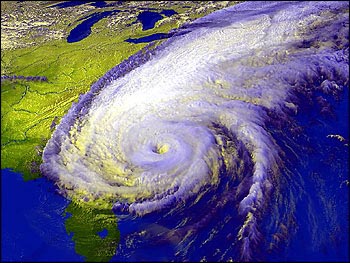
Last couple of frames of vis sat loop almost appears that the convection tops are able to expand northward ever so slightly, indication that the shear may be starting to relax, I'm not sure. Any thoughts?
Also the wv imagery looks as if the outflow from "Gustav" has more of a northwestward or even westard component directly over Hanna as opposed to the more northerly component it had before. Not sure what implications this would have on intensity or track.
One last thought, IF Hanna were to have significant blow up of convection (as we have seen her do) and develop a little faster, would she still have time to feel the effects of the high and turn more northward sooner?