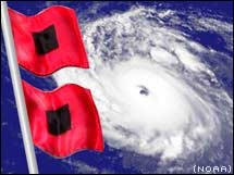
Sandy is really looking impressive now with a very nice CDO and eye. She looks to be getting stronger and Jamaica has no effect on her, a good sign that this storms structure is well organized and strong. I dont see any reason why this will not be 90-100mph cane at landfall in Cuba. Recon will also have the obstacle of the no fly over in Cuba but will be able to get some measurements before reaching Cuba later this evening. There is know doubt that Sandy will be a serious problem for the eastern seaboard with tides already above normal with full moon Monday is just going to make for a significant coastal flooding and if the deeper Euro verifies anywhere close to what it is projecting (950-960mb!) it will be a storm I think of historic proportions. So much warm air will be pulled in that the only real snow threat will be in the central Appalachians.
|
