| cieldumort |
| (Moderator) |
| Wed Oct 09 2024 01:06 AM |

|
|
|
In addition to more standard and traditional tropical cyclone models, for the next 24-48 hours or so, I'm going to share some others that I typically would not. The reason I am including these others falls into one or both of two categories:
1. It is expected that Milton will begin extra-tropical transition to a lesser or greater extent roughly about the time it is making landfall (just before, during, or just after), and as such, I will be sharing non-tropical models that are often better at handling sub-tropical systems.
2. Models that look to have a better initial grasp on Milton's present intensity and/or location and/or steering. These may include select ensemble members.
These models should be considered with the caveat that they are neither designed for TCs and/or the operational runs, but may have increasing utility going forward. Also, where Globals are concerned (e.g. GFS), we can ignore their forecast minimum pressure. Globals almost always underbid MSLP.
I will flag these posts with the header NON-STANDARD MODELS
NON-STANDARD MODELS
GFS Member #1 from 09/0z run valid Thursday morning (10th) at 4AM EDT (predawn)
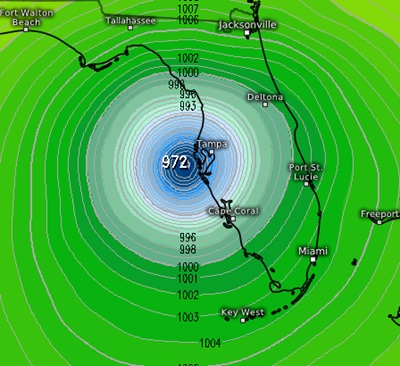
GFS Member #3 from 09/0z run valid Wednesday evening 7PM EDT

GFS Member # 8 from 09/0z run valid Thursday the10th at 1AM EDT (middle of the night)
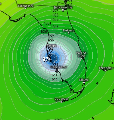
GFS Member #28 from 09/0z run valid Wednesday night 10PM EDT
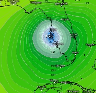
NAM3K (Convection Allowing Model) from 09/0z run valid Thursday the 10th at 4AM EDT (predawn)
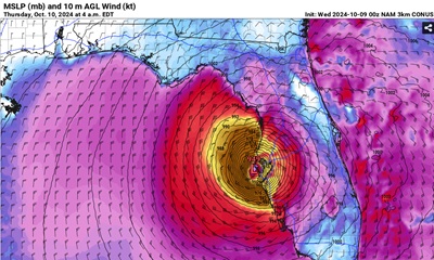
RRFSA (Convection Allowing Model) from 09/0z run valid Thursday the 10th at 12AM EDT (midnight tomorrow night)
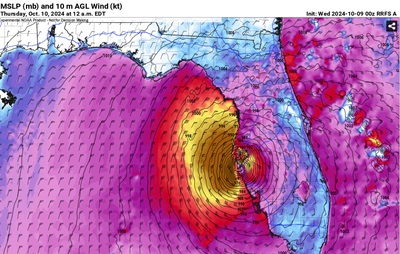
Edit: Several models now show no complete transition to extra-tropical ("Post-Tropical" as it is now called with regard to TCs), until after Milton has crossed the state and entered the W Atlantic, and indeed with the 1AM CDT NHC Advisory, the official forecast now calls for Milton to remain a Tropical Cyclone well into the Atlantic. This may limit the usefulness of the two Convection Allowing Models shared above.