| cieldumort |
| (Moderator) |
| Wed Oct 09 2024 11:39 PM |

|
|
|
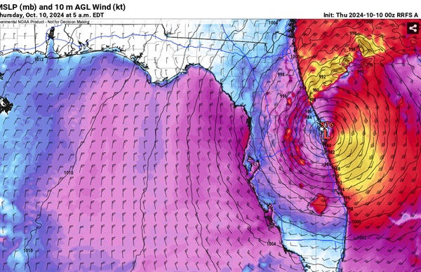
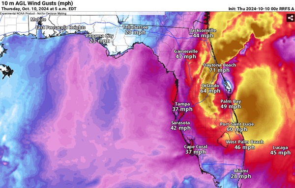
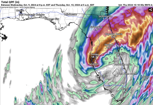
0z Rapid Refresh has the center of Milton just exiting the state about 5am EDT, still producing quite a lot of strong and damaging winds well inland and likely a lot of surge on the east coast of Florida as it does. This model also shows a QPF for the area between 8pm Wednesday and 8pm Thursday that if anything is probably underdone. It looks like a lot of these numbers have already been realized on the west central Florida coast.
NON STANDARD MODEL
Convection Allowing RRFS A


