MikeC
|
| (Admin) |
| Tue Jul 15 2025 07:18 AM |
|
|
93L is probably not going to become a depression before Florida it's almost inland near the Volusia/Brevard border, but it's close. Probably 1012mb, with 25-30mph winds.
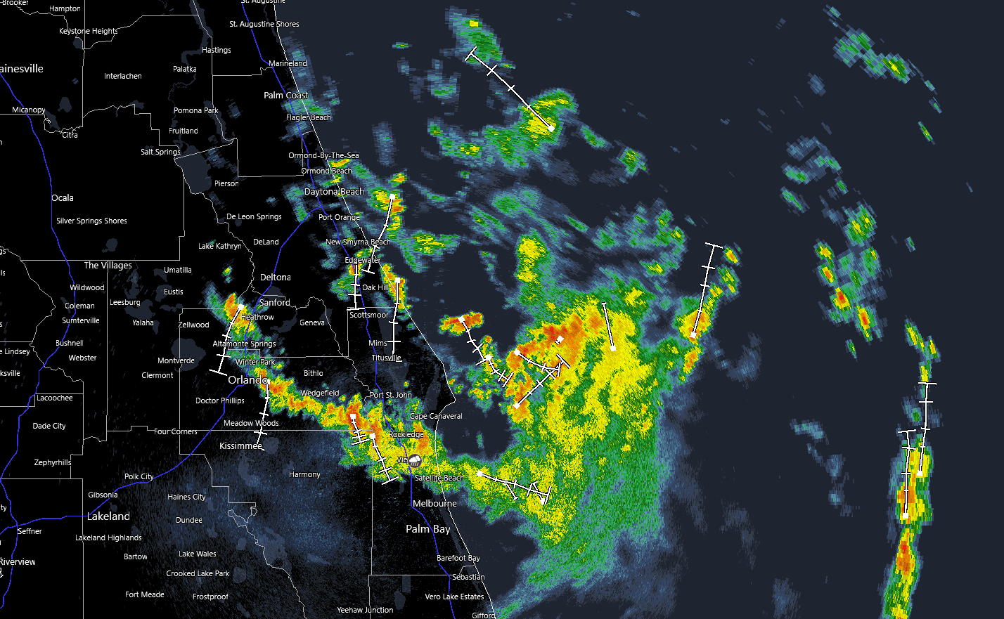
Once over the Gulf, that far north moderate shear will likely have more of an impact and keep 93L weaker. I'd say the 40% chance is still good. I don't expect any tropical advisories issued today with the mid-level vorticity moving over land. LLC is still broad north to south, with the one off Brevard/Volusia line being the strongest at the moment.
timelapsing the Flagler beach cam in NSB https://flhurricane.com/imageanimator.php?926