| cieldumort |
| (Moderator) |
| Wed Aug 13 2025 06:46 PM |

|
|
|
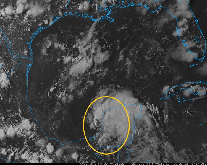
Above: Invest 98L entering the Bay of Campeche 8/13/25/2246z
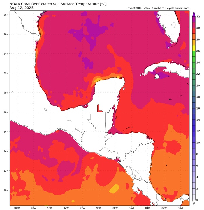
Above: Bay of Campeche SSTs cr. Cyclonicwx.com
A tropical wave just now starting to exit the Yucatan Peninsula and entering the Bay of Campeche in the southwestern Gulf of Mexico is in a prime location to take advantage of the geography in this region, which tends to induce its own area of cyclonic rotation. While the wave itself does not yet have much in the way of a surface reflection, the Bay is furthermore in a region of very light to almost non-existent wind shear, and the waters are exceptionally warm, running above normal and in the 29.5c to 31.5 range for the most part
Global models are scarcely noticing this feature, but NHC assigned it a "slight" and this is now Invest tagged, 98L. Given that it is landlocked and sure to impact someone onshore in addition to local navigation interests, and the fact that conditions for development belie what the Globals are putting out, we are starting a Lounge on this feature at this time.
98L is likely to continue northwesterly at 10-15MPH, which would take it inland over northeastern Mexico, or potentially deep south Texas, by Saturday.