| cieldumort |
| (Moderator) |
| Mon Aug 18 2025 03:46 AM |

|
|
|
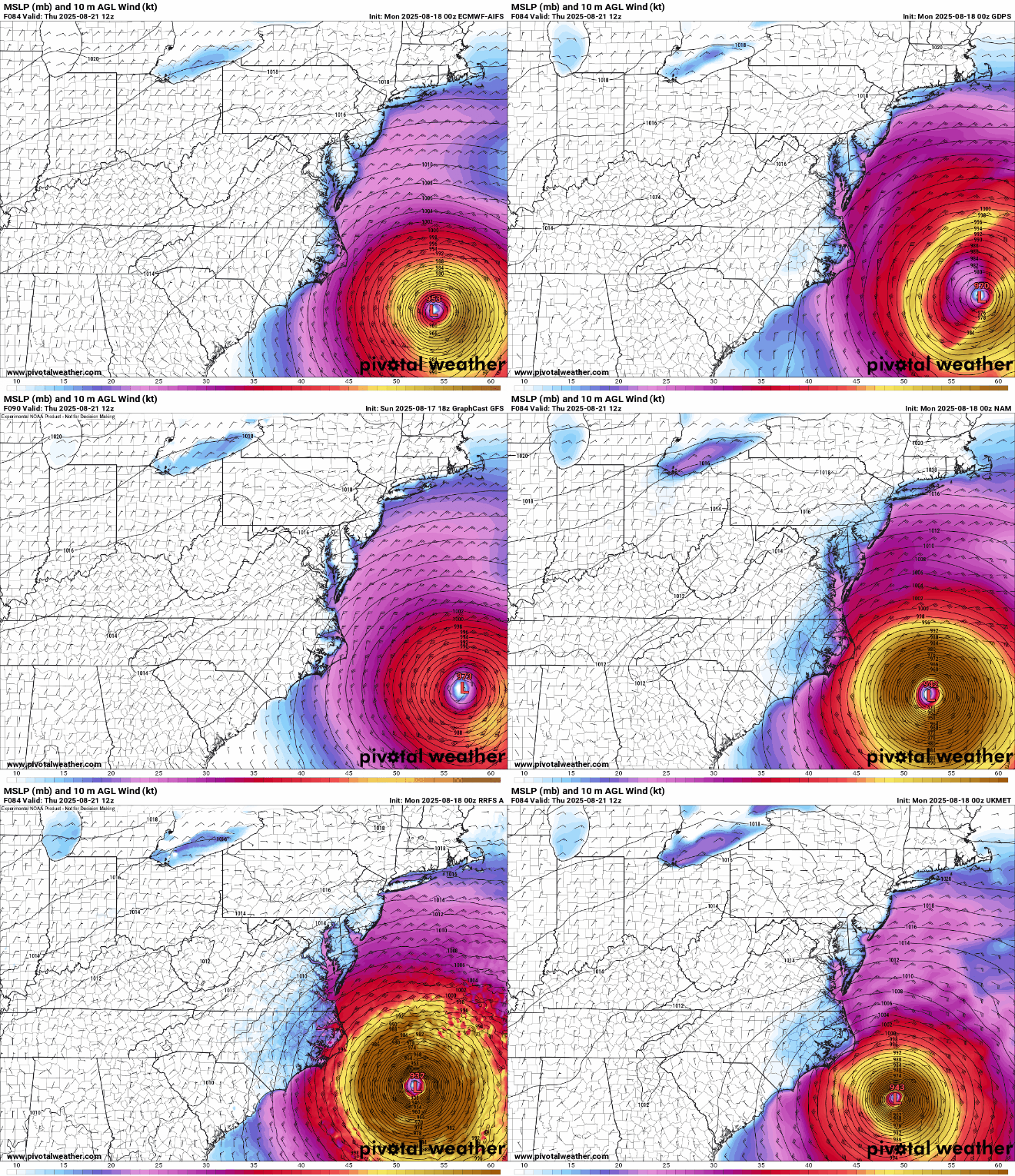
As Erin keeps expanding, the radius of tropical storm force and hurricane force winds have a good chance of being considerably larger than depicted in the models below. Waves and potentially coastal flooding may also be more significant than these runs suggest.
AIFS, ECMWF, GDPS, GFS, GraphCast GFS, ICON, NAM, RDPS, RRS A, UKMET
Valid Thursday 8/21/12z
