| cieldumort |
| (Moderator) |
| Fri Aug 22 2025 01:28 AM |

|
|
|
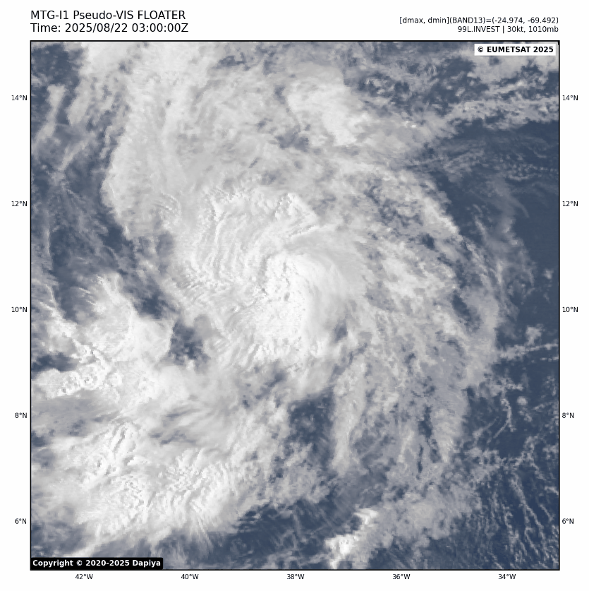
Above: Invest 99L Pseudo-VIS Gif credit: Dapiya.top
The incipient tropical cyclone is still cocooned off from dry Saharan Air around it and also traveling within a fairly steady-state pocket of light to at most low-moderate shear. With scatterometer winds supporting at least 35 knots and Dvorak agencies concurring, naming or not to name at this point is almost irrelevant.
With the above consideration, early hurricane/vort-centric models do not appear to have a decent handle on the present structure of the system and may not do well to predict it just yet. Provided it does not succumb to hostile regions that surround, recon could be tasked for this over the weekend. This would help, as recon is indisputably the best source of accurate data for models to ingest in systems too far from land.