MikeC
|
| (Admin) |
| Thu Sep 04 2025 07:41 AM |
|
|
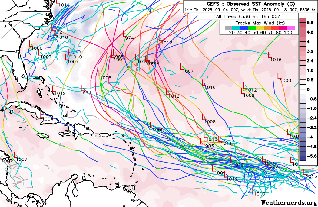
Overnight models are very much split between the ensemble and operational camps, showcasing a lot of uncertainty in the future both in track and intensity. The 6z GFS shows the system making it north of the Caribbean islands, but getting caught up in the westerly flow of an ULL shunting it west over the Bahamas, start to recurve east of Florida and eventually making landfall around the SC/NC border as a cat 3/4 hurricane. The 0z Euro makes it east of Florida at the end of the run.
However, the 0z GFS Ensembles all recurve and approach Bermuda, although some do go through the northern islands. None of the ensembles make it to the Bahamas or united states. The same goes for the Euro ensembles, except many more go over the islands.
The Leeward islands must watch this system, and Bermuda, the Bahamas and the SE Us will want to monitor the progression of the system. Still most likely it gets close/near the islands and recrrves threatening Bermuda, but it's a rather weak confidence compared to Erin. Other areas like the Bahamas and eastern US will need to monitor as well.
 '
'