| cieldumort |
| (Moderator) |
| Mon Sep 08 2025 07:43 PM |

|
|
|
There are a few features in the basin that look interesting, and during any usual "peak" of a season one could expect something to come of them, but at the moment, conditions for development are running marginal to outright hostile. Nonetheless, a few items of interest as mentioned here and elsewhere include, from closest to land to farthest out:
1. A stalled frontal boundary draped across the Gulf up into the offshore waters of the southeastern US with a few attendant areas of weak low pressure.
2. Whatever is left of the northern extent of former Invest 91L now rounding the Lesser Antilles
3.Wave approaching northeastern South America/southern Lesser Antilles.
4. Wave east of the Cabo Verde Islands near 23W from 17N southward
Big picture-wise, #1 is riddled with shear and it is not obvious how something other than a hybrid could cook up during the next week out of this, unless shear dramatically lessens over crucial portions of the boundary and/or crucial portions of the boundary drift further out south/east out of the range of the high shear zones.
#2 (x 91L) Pretty difficult to see this developing. Maybe fair to give it 2% within 7 days, or one-out-of-fifty odds.
#3 Might be something to keep an eye on if it starts to cook up some persistent deep convection and manages to pull north of South America in time. Perhaps a mention in tomorrow's TWO could be introduced on this feature by NHC depending on how it fairs tonight/overnight.
#4 Has some soft model support. Unfortunately for this wave, the Tropical Atlantic is still loaded with wave kryptonite this season.
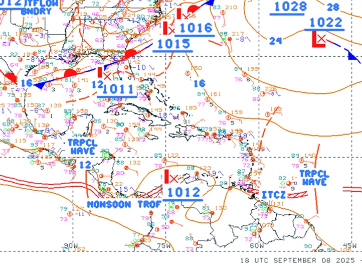
Above: SW Atlantic surface analysis 9-8-25-1800z
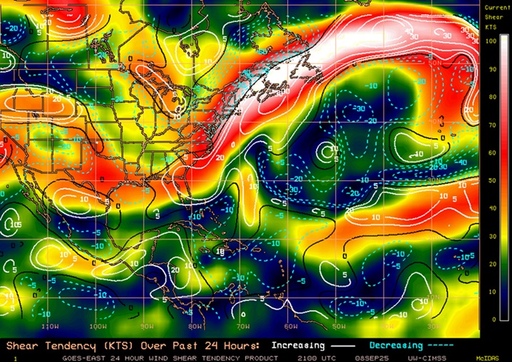
Above: Atlantic basin shear analysis and shear tendency as of 9-8-25-2100z
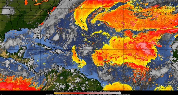
Above: Atlantic basin dry air as of 9-8-25-2100z
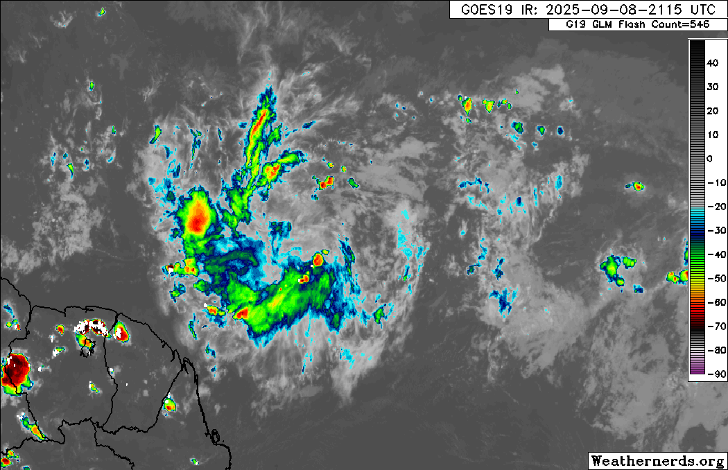
Above: #3 approaching northeastern South America