| cieldumort |
| (Moderator) |
| Fri Oct 03 2025 12:45 PM |

|
|
|
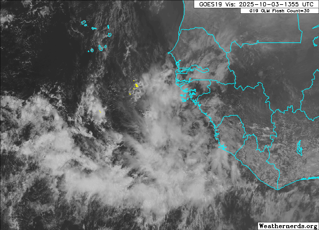
The anticipated robust wave has now entered the eastern Atlantic this morning. Conditions for development along its path are at least initially unencumbered by much shear or dry air, but instability may be below average, which has been status quo for much of the Tropical Atlantic this season. However, instability in this region increases heading into fall, and so is much more favorable now than even a month ago.
Given the above, it is conceivable that TC genesis occurs sooner rather than later, which could encourage a pull to the north prior to reaching the Antilles, but this is not a given. Most models hold off development until this system is at least half way to the longitude of the Lesser Antilles.