| cieldumort |
| (Moderator) |
| Mon Oct 13 2025 01:09 PM |

|
|
|
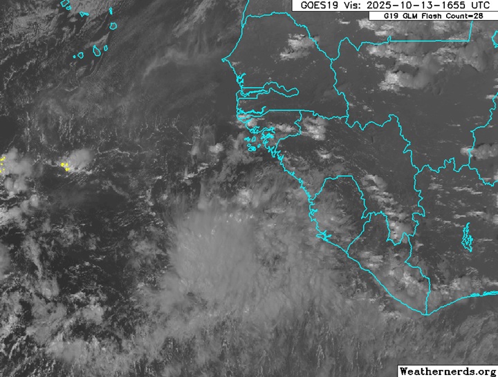
A wave that has recently entered the far eastern Tropical Atlantic well south-southeast of the Cabo Verde Islands is more likely than not to track underneath a building area of high pressure left in the wake of a recurving Lorenzo and potentially track much farther west and develop in the Atlantic basin than most have done this year.
Conditions for development in the Main Development Region (MDR) this week and into next look markedly more favorable than they have throughout the bulk of this season, with abundant instability, rising motion, less dry air, and a forecast of less shear.
Despite it being mid-October, this year, like last, is trending back-loaded. If conditions for this wave play out as forecast, it could become a named storm approaching the Caribbean later this week into next. As such, we are starting a Lounge on this disturbance at this time.
No Invest tag yet and not yet mentioned in the NHC TWO
More details to come
This wave, now nearing the Caribbean, has been Invest tagged 98L today and the title has been updated accordingly.
2025-10-18 12:00 11.7N 49.9W 30 KTS
10-21-25 11:00AM EDT NHC Advisories have begun on Tropical Storm Melissa, and the title has been updated accordingly.
Ciel