| cieldumort |
| (Moderator) |
| Wed Oct 15 2025 03:53 AM |

|
|
|
10-15-0z model runs out to 180 hours (7.5 days)
Models are increasingly holding off development of this wave until it just approaches, and more so, already well into, the Caribbean, sometime next week.
In sharing these, it is worth noting that 2025 has been a very challenging year for the models and forecasters, so much should be taken with a helping of salt.
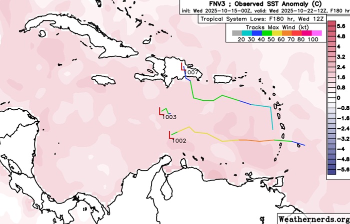
Of all the models, the Google DeepMind GDM-FNV3 (Google Deep Mind's newest ensemble machine learning weather model, optimized for cyclones) has really been outstanding in terms of track and intensity for certain, and a cursory glance at how it has handled issues of TC genesis/no genesis, also a very good performance. At the other end, the GFS has spun out so many phantom Caribbean TCs (usually of the CAG variety) this year, it is seriously at risk of becoming the little boy that cried wolf for when one actually does form, eventually, some month, some year, maybe this, maybe next.
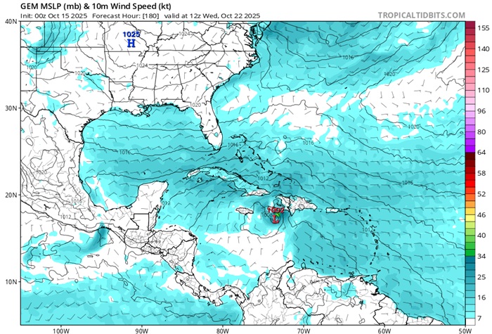
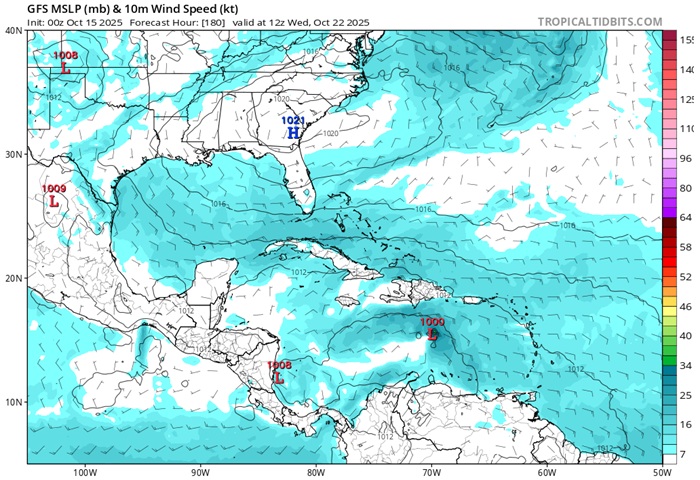
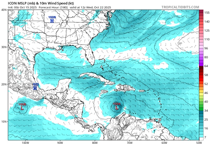
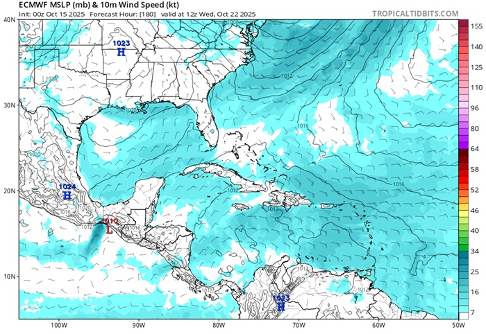
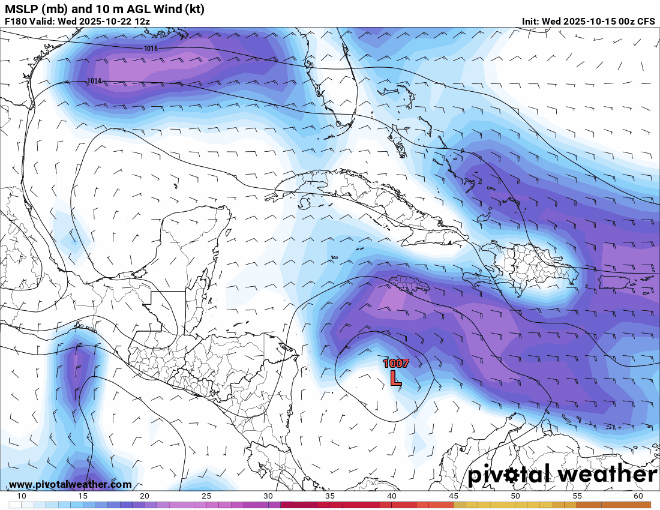
All in all, this is a strong signal for TC genesis in the Caribbean by the middle of next week. TCs that are in the Caribbean nearly always make a landfall, and often more than once. Additionally, this part of the basin has not yet been tapped of its potential, with very warm waters extending to exceptional depths.