MikeC
|
| (Admin) |
| Wed May 27 2026 06:42 AM |
 Re: Long Range 2026
|
Lounge time:
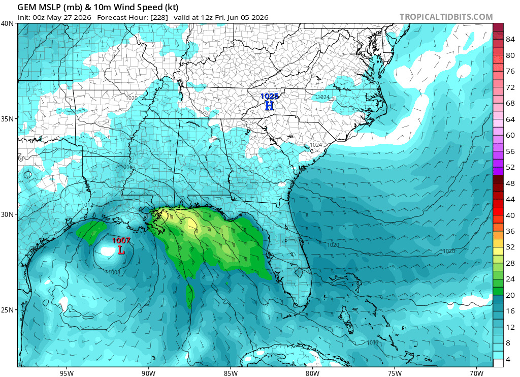
One thing to watch this year is the old Canadian (Also known as the Gem or CMC Model) received some pretty significant updates this week, including some AI related interpolation or nudging to help it along. So it's worth monitoring to see how it does.
The overnight (oz) GFS runs are a bit crazy, inc
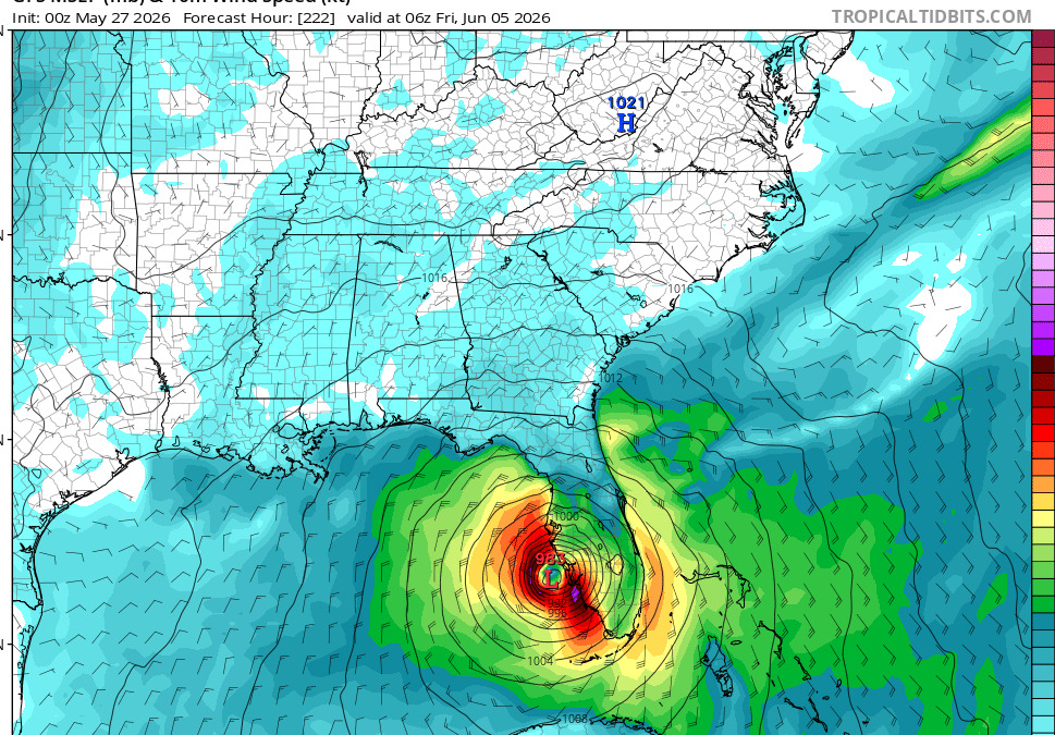
Example, here a hurricane making landfall near Venice/Sarasota County a week from friday on the 0z run.
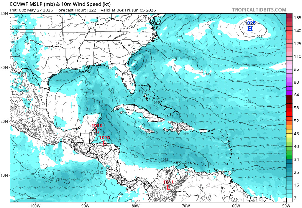
Countered by nothing on the euro.but some rain
The new Canadian mention, just shows rain near Louisiana from it
6z run of the GFS is still going, but is slower around the same period (still in the gulf)
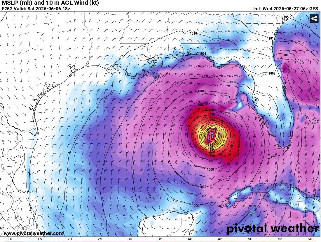
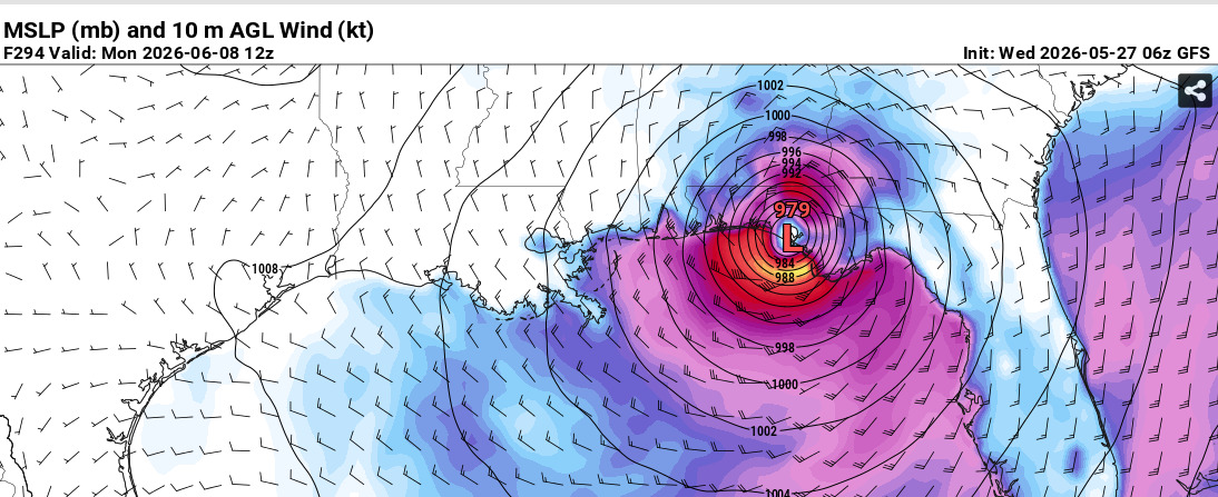
Usually the fake storm behavior in the GFS winds up either dissipating or pushing the storm out further and further in time.
AI models do not pick up anything from this.
Bottom line, still very unlikely anything develops, but the rain and energy is there for a window for something to possibly try to get going (and probably fail to get going) sometime later next week.
The pattern of higher chance of rain in Florida will be starting this weekend.