| cieldumort |
| (Moderator) |
| Mon Jun 15 2026 01:08 PM |

|
|
|
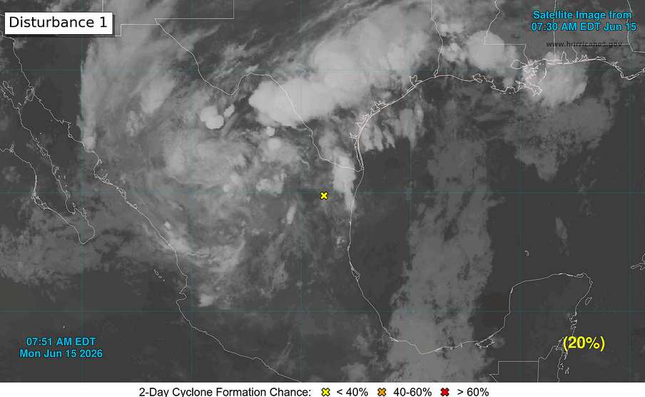
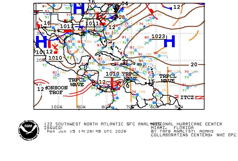
One might look at this and think models are hallucinating the location of "Disturbance 1." There are several other much bigger actors in play now such that it is possible the original low we have been tracking (and is still being initialized on among the various models and also the NHC) is becoming so absorbed within the much larger monsoon gyre over Mexico that the forecast track east over water simply does not verify, or significantly changes. The most recent forecast discussions are taking this into account, that "Disturbance 1" continues tracking more north than east, within the cyclonic flow of the much larger gyre centered over Mexico (centered west of the tiny yellow "x" in the image below), and helps spawn a new area of surface low pressure over the NW Gulf midweek.
Regardless of the exact outcome, much of Texas, Louisiana, Mississippi and Alabama are in for days of very heavy and often-times dangerously flooding rains this week.
WPC has already introduced four consecutive days of Moderate Risk and may even introduce at least one area of High Risk for flooding.