| cieldumort |
| (Moderator) |
| Fri Aug 21 2026 03:44 PM |

|
 New East ATL Wave Invest TBD
|
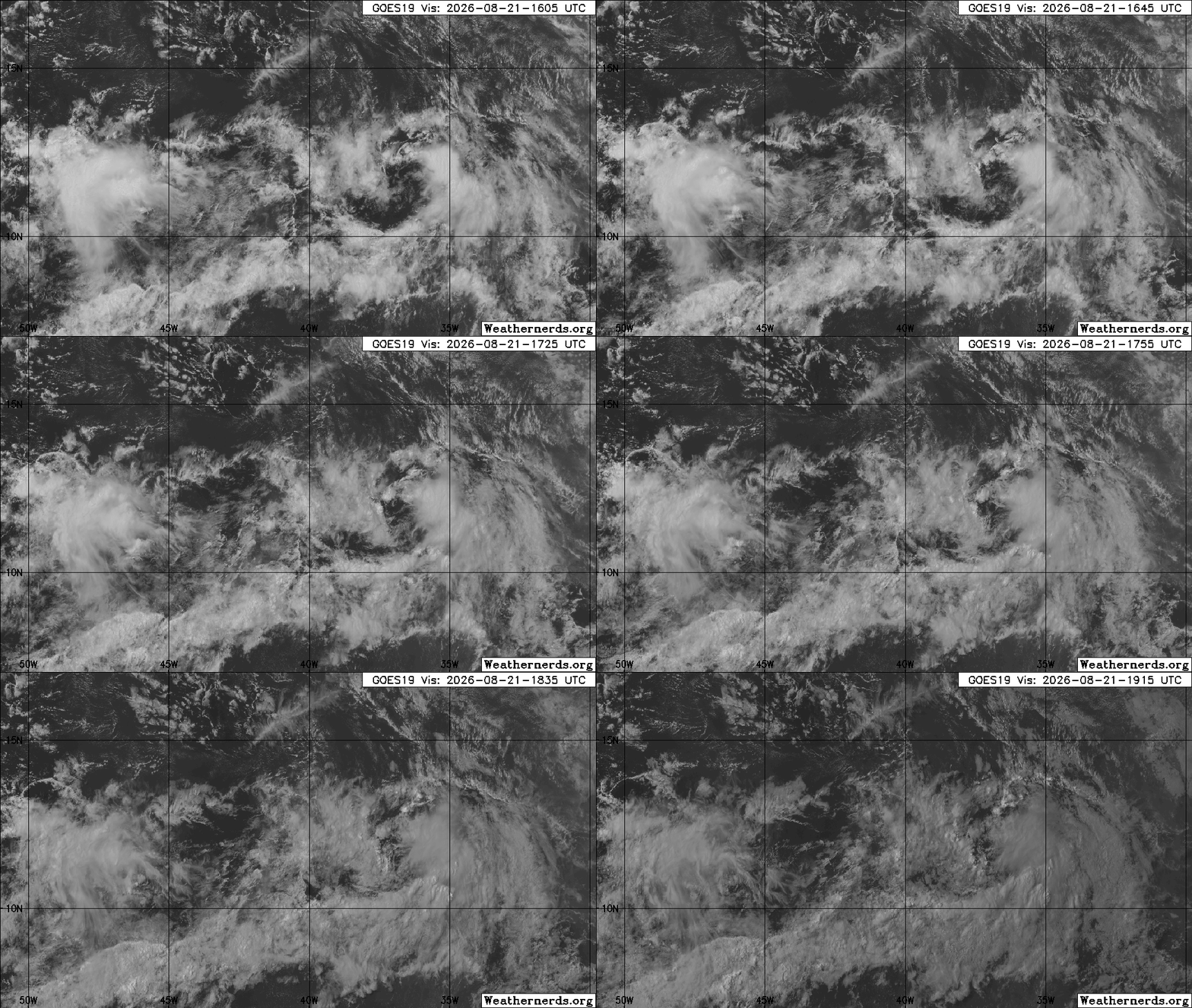
Image credit: Weathernerds.org
Odds are that this feature will also run into a wall of doom like the last few tropical waves before, that were not only Invest-tagged, but also given probable to likely chances of development. However, this is a stout wave and is, at least for the moment, in a marginally favorable region of lower shear and less dry air for development.
Model support is very low to non-existent.
Centered near 11.4N 36.8W
Something worth monitoring as it is heading west and not east. It may get a mention in the evening NHC Tropical Weather Update and has a low chance of becoming a brief TD or weak storm before probably encountering too much shear.
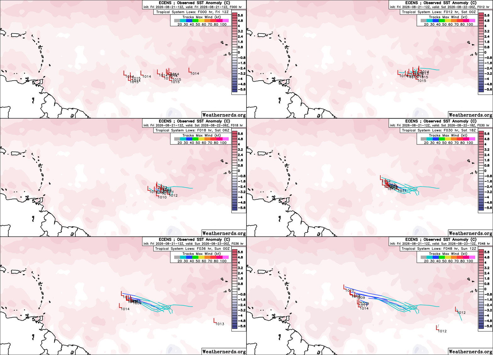
Today's 12 ECENS out to 48 Hrs. Image credit: Weathernerds.org