| cieldumort |
| (Moderator) |
| Sat Aug 29 2026 04:26 AM |

|
 Re: Dolly Lounge
|
Dolly is an exceptionally stout and resilient wave that continues deserving our attention. In the near to medium term, regeneration is unlikely. However, mid/late next week and into the holiday weekend is where things may get dicey.
The Gulf is a powder keg of untapped hot water and shear is largely expected to be on the light side during this time. There is a chance Invest Dolly makes its way into it during this favorable window.
The Gulf Stream extending well out into the southwest Atlantic is also anomalously very warm. Much of this region is also forecast to be under a lighter shear regime. Dolly may make its way over here during a favorable window.
Invest Dolly is much too robust to easily fall apart over the Antilles and is probably either going into the Gulf or the southwestern Atlantic during not only what is historically very near climo peak, but also at a time when conditions are just more favorable.
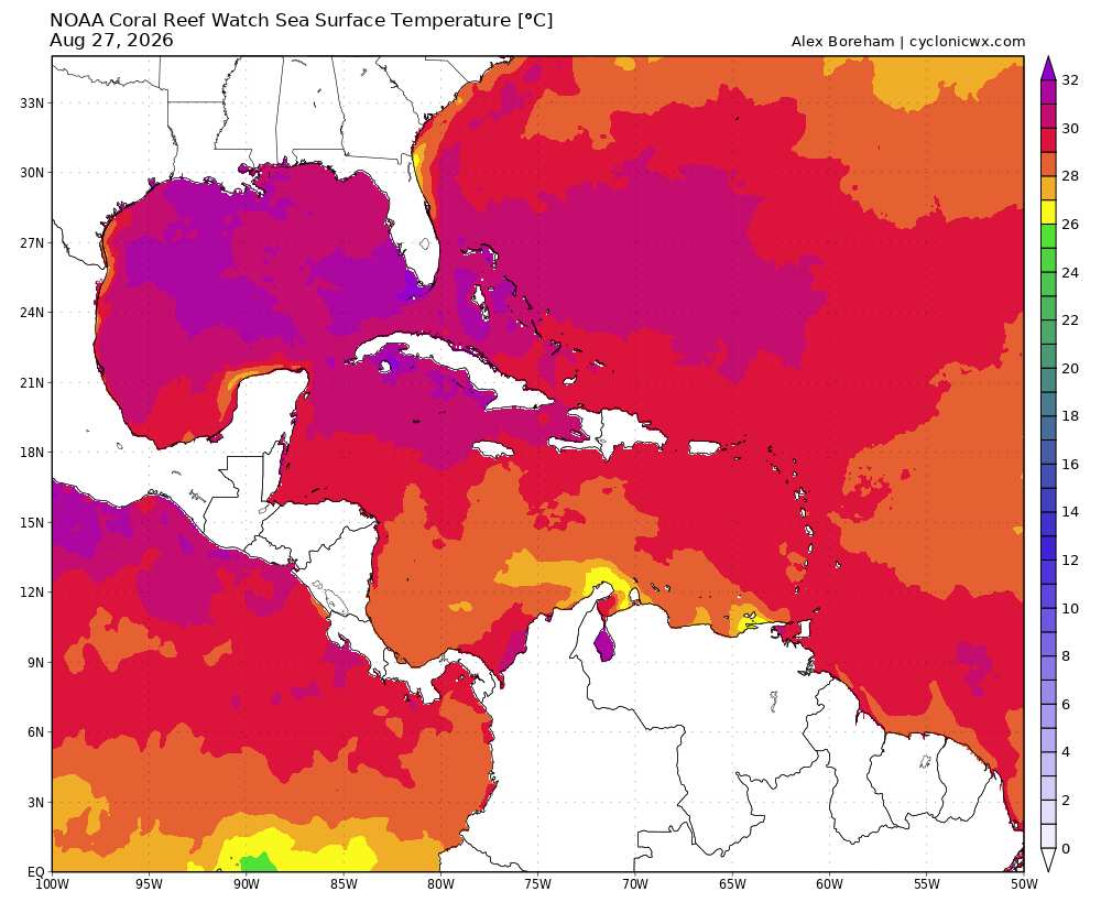
Above: SSTs Image credit: Cyclonicwx.com
Hurricane model runs are still going on Invest Dolly. This should be helpful. In addition, as Dolly draws closer, recon may get tapped to sample the environment at the very least.
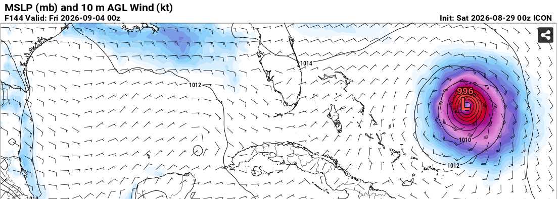
In the meantime, here are some of the 8/29/0z Global runs that extend far enough into the future to glean how the wave may respond to being in a much more favorable condition for development.
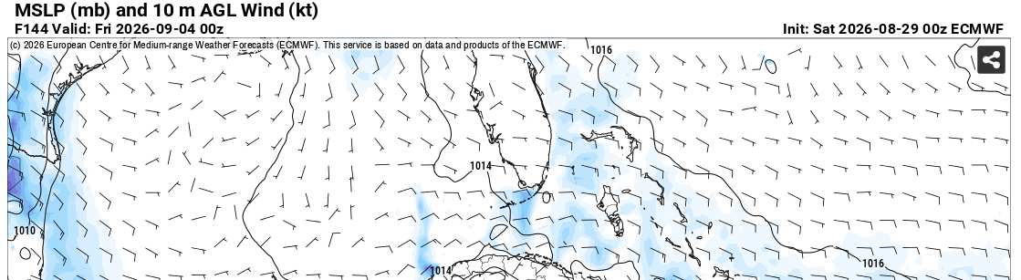
EURO at 144 hours out
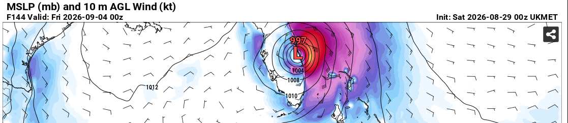
UKMET at 144 hours out
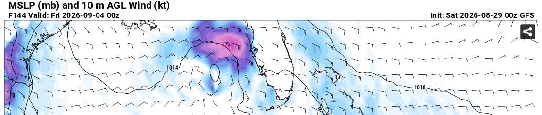
GFS at 144 hours out
CANADIAN at 144 hours out
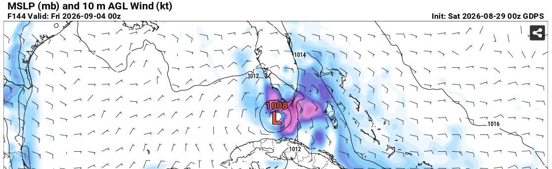
ICON at 144 hours out
In summary
EURO - No redevelopment
UKMET - Redeveloped
GFS - Redeveloped
Canadian - Redeveloped
ICON - Redeveloped