| cieldumort |
| (Moderator) |
| Sat Oct 17 2026 06:39 PM |

|
 Gulf Stream Coastal Low w Tropical Potential
|
An overwhelming majority of all models and their ensembles are now forecasting the development of a strong or very strong non-tropical low near or over the Gulf Stream roughly east of North Carolina as soon as late Sunday. This region is now an official NHC 20% Area of Interest and given its potential to transition into a strong subtropical or even tropical cyclone and have significant coastal impacts regardless, we are starting a Lounge on this feature at this time, Invest TBD.
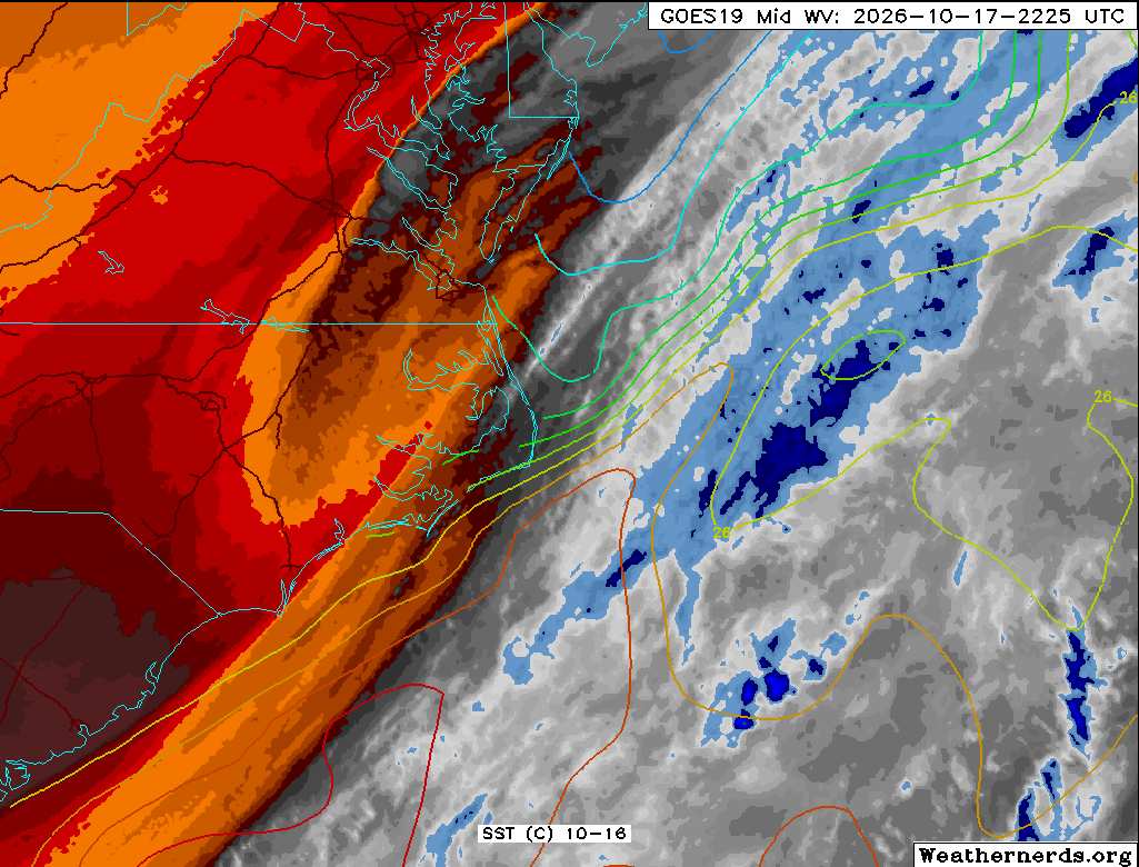
Above: Water Vapor image of precursor system 10-17-26-2225z. SST contours added. Image credit: Weathernerds.org
More to come