| Weather456 |
| (Verified CFHC User) |
| Tue Jul 18 2006 05:36 PM |
|
|
Tropical Update/Wind Shear
The tropics are stirring today.
Tropical Storm Beryl
A front moved off the east coast of the United States and most of it began to dissipate, but the southern portion of the front remained intact and stalled. This allowed the former front, now separated into two tropical disturbances, to organize themselves while over the Gulf Stream. The northernmost disturbance quickly organized, but moved into the cold waters of the North Atlantic before it could become a tropical depression. Because of the weak steering currents, the southern disturbance slowly drifted south and organized itself to be designated the second tropical cyclone of the season, after over a month of inactivity.
Current Storm Information
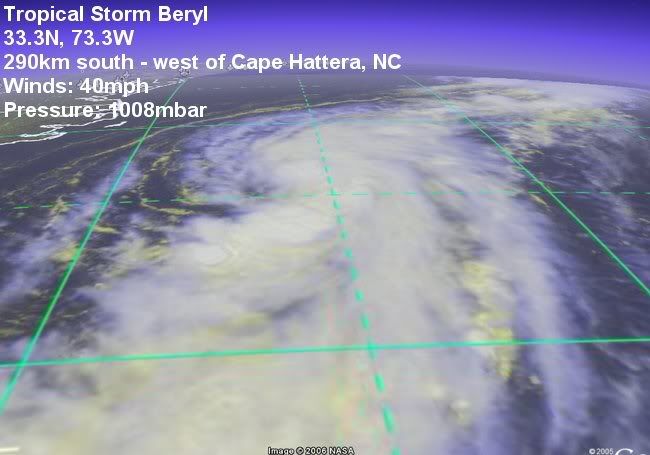
As of 5 p.m. EDT on 18 July (2100 UTC), Beryl was located near 32.8°N, 73.4°W. It had maximum sustained winds of 40 mph (55 km/h), with higher gusts. The storm was moving toward the north at about 6mph (8 km/h). The minimum central pressure was 1008 mbar (29.85 inHg).
Warnings and Watches
Coastal warnings and watches:
A tropical storm watch has been issued for the eastern coast of North Carolina, from north of Cape Lookout northward to south of Currituck Beach Lighthouse.
See the NHC's latest public advisory on Tropical Depression Two.
See the NHC's latest forecast discussion on Tropical Depression Two.
Note that your items 'b' and 'c' repeat information that is available on the left sidebar (and a link to NHC) and should not be repeated here (except for short excerpts to make a point). Note also that Eastern Pacific activity does not belong in this Forum.

Figure 1: Tropical Storm Beryl

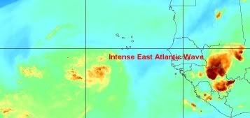
Figure 2: East Atlantic Wave

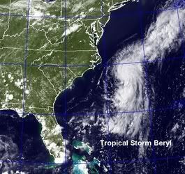
Figure 4: Tropical Storm Beryl

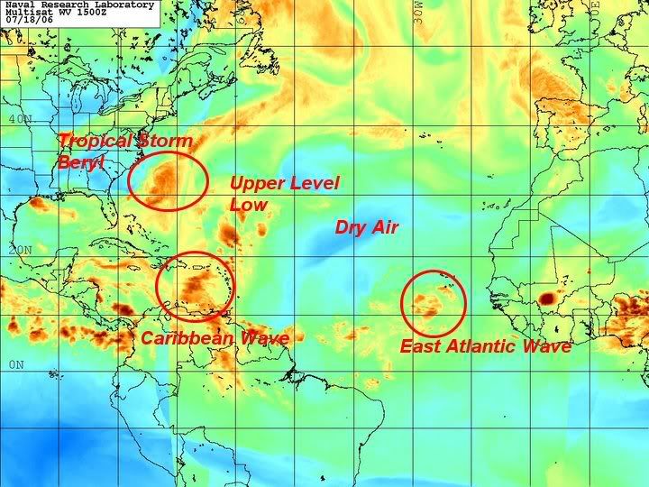
Figure 5: Tropical Atlantic