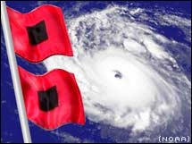
99L very well defined with convection firing over the center. I would be quite surprised if this was not made a depression or storm tonight given its improved organization and amount of time of sustained convection. For now a WNW track into the Caribbean looks good beyond that point its a guess as European is in the northern camp while GFS is weak and further south. Time will tell as to how much latitude it can gain and what shear it may encounter to determine it is pulled more north or keeps on a WNW heading.
|
