| Random Chaos |
| (Weather Analyst) |
| Sun Aug 29 2010 03:53 PM |

|
|
|
Haven't heard of CAT1 storms going through an ERC, but it sure reads like it is. 20NM eye this morning, 12NM eye now with a 20NM outer eye with the moat note (16 NM radius center on an 8NM wide moat, makes the moat 12-20NM, an inner and outer eyewall).
Could be a facet of the storm's size trying to force a larger eye at this early stage of development. Also, it has just moved over warmer water in the past 12 hours, so that could be affecting its development.
Unfortunately there are no recent microwave passes to show what all is going on.
Edit: HDOB from NOAA3 shows surface pressure now down to 968MB at 20:57Z.
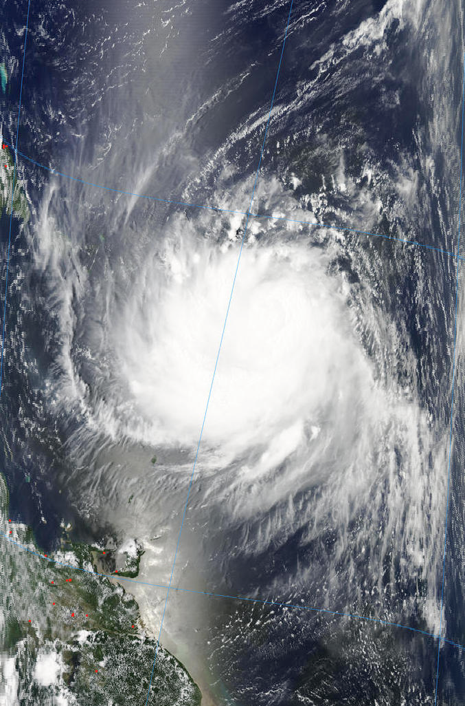
And now for the beauty of Earl, as of 17:20 UTC today:

Source:
North half - http://rapidfire.sci.gsfc.nasa.gov/realtime/single.php?A102411725
South half - http://rapidfire.sci.gsfc.nasa.gov/realtime/single.php?A102411720