4:45PM CDT 8 September 2021 Update
Invest 91L has tightened up at the surface throughout the afternoon and upon coming in closer to radar and fortuitously passing a buoy that showed indeed a solid cyclonic rotation of tropical storm force as the surface, 91L went directly to Tropical Storm Mindy with its first Advisory issued by the Hurricane Center at 4PM CT.
Quote:
Tropical Storm Mindy Advisory Number 1
NWS National Hurricane Center Miami FL AL132021
400 PM CDT Wed Sep 08 2021
...NEW TROPICAL STORM FORMS IN THE NORTHEAST GULF OF MEXICO...
...TROPICAL STORM WARNINGS ISSUED FOR THE FLORIDA PANHANDLE...
SUMMARY OF 400 PM CDT...2100 UTC...INFORMATION
----------------------------------------------
LOCATION...29.0N 86.3W
ABOUT 90 MI...150 KM WSW OF APALACHICOLA FLORIDA
MAXIMUM SUSTAINED WINDS...40 MPH...65 KM/H
PRESENT MOVEMENT...NE OR 50 DEGREES AT 21 MPH...33 KM/H
MINIMUM CENTRAL PRESSURE...1008 MB...29.77 INCHES
WATCHES AND WARNINGS
--------------------
CHANGES WITH THIS ADVISORY:
A Tropical Storm Warning has been issued for the coast of the Florida Panhandle from Mexico Beach to Steinhatchee River.
SUMMARY OF WATCHES AND WARNINGS IN EFFECT:
A Tropical Storm Warning is in effect for...
* Mexico Beach to Steinhatchee River Florida
A Tropical Storm Warning means that tropical storm conditions are expected somewhere within the warning area, in this case in the next 6 to 12 hours.
For storm information specific to your area, including possible inland watches and warnings, please monitor products issued by your
local National Weather Service forecast office.
12:45PM CDT 8 September 2021 Update
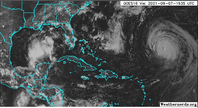
Invest 91L is still lacking a well-defined surface circulation, but does appear to have an increasingly robust one at mid-levels, and several models continue to expect a surface center will establish prior to landfall. Thus, for now, 91L remains a coin toss system as to whether or not it becomes a Tropical Cyclone prior to moving inland, but heavy and potentially flooding rain and strong thunderstorms will probably be the most widespread consequence, regardless.
If it does not become a Tropical or Sub-Tropical Cyclone before entering the Florida panhandle either later tonight or Thursday morning, 91L could have another shot upon exiting the southeast coast later this week into the weekend.
Original Entry
Image credit: Weathernerds.org
Invest 91L has some potential to become a wet Depression or Storm of either a Tropical or Sub-Tropical variety within the next 48 hours, and those along the northeastern Gulf and southeastern US could see a day or few of blustery wet weather and dangerous rip currents as a result. There is even an outside chance of more significant development. 91L warrants paying attention to regardless.
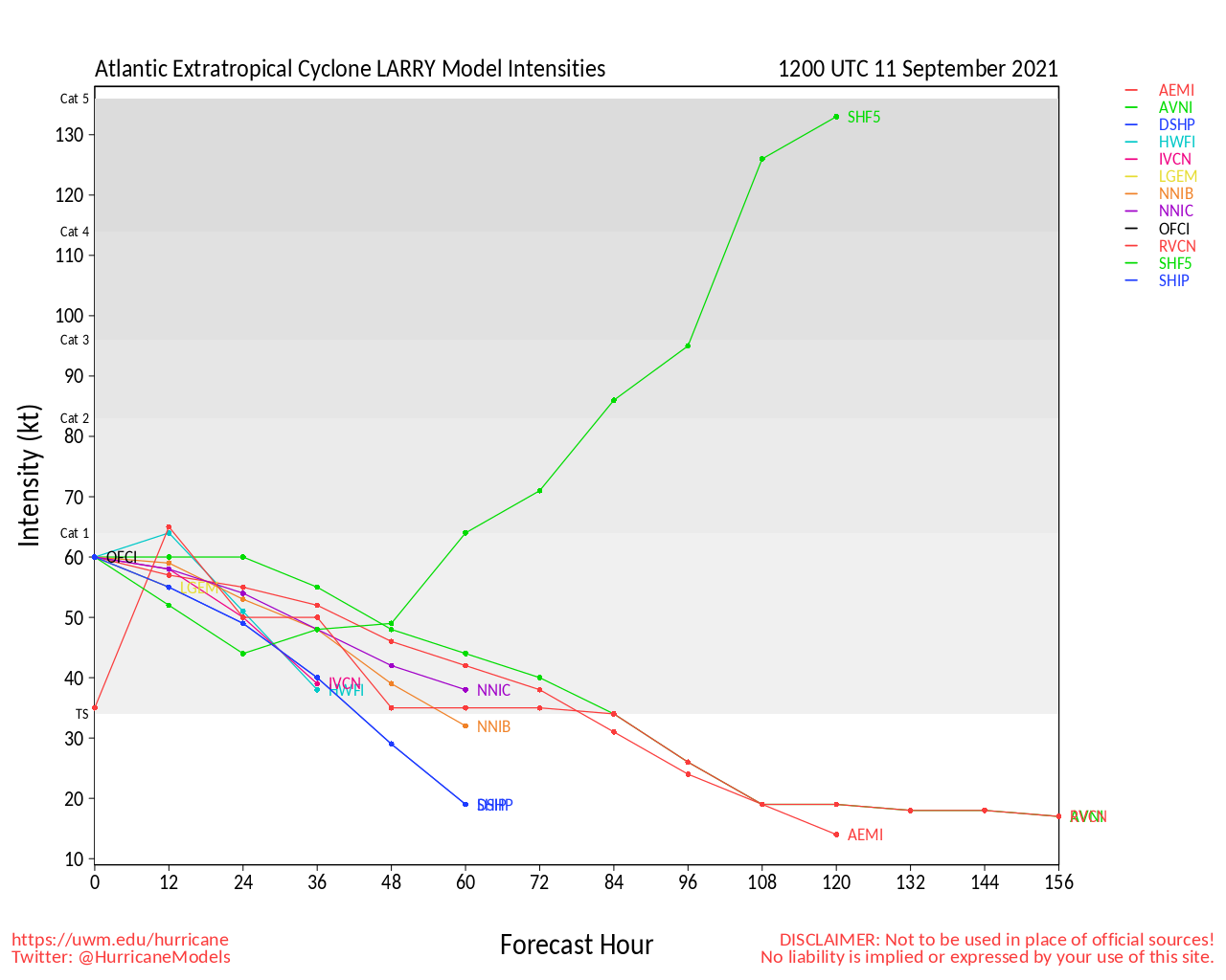
In the western Atlantic, annular Hurricane Larry is now forecast to approach and pass to the east of Bermuda while recurving out to sea and possibly giving Newfoundland a brush later along the way. A Tropical Storm Watch has been issued for Bermuda in preparation for the potential of storm conditions within the next 48 hours there, and the Canadian Hurricane Center is keeping track for potential impacts on Newfoundland in the Thur-Sat time frame.
NHC:
Quote:
DISCUSSION AND OUTLOOK
----------------------
At 200 PM AST (1800 UTC), the center of Hurricane Larry was located near latitude 24.8 North, longitude 55.8 West. Larry is moving toward the northwest near 9 mph (15 km/h), and this general motion is expected to continue through Wednesday. A turn toward the north-northwest and north with an increase in forward speed is forecast on Thursday. On the forecast track, the center of Larry should pass east of Bermuda on Thursday. Maximum sustained winds are near 115 mph (185 km/h) with higher gusts. Gradual weakening is forecast during the next several days.
Larry is a large hurricane. Hurricane-force winds extend outward up to 70 miles (110 km) from the center and tropical-storm-force winds extend outward up to 185 miles (295 km). The estimated minimum central pressure is 967 mb (28.56 inches).
HAZARDS AFFECTING LAND
----------------------
WIND: Tropical storm conditions are possible on Bermuda beginning late Wednesday or early Thursday.
SURF: Swells generated by Larry will continue to affect the Lesser Antilles, portions of the Greater Antilles, and the Bahamas through midweek, and impact Bermuda through the end of the week. Significant swells should reach the east coast of the United States and Atlantic Canada by midweek and continue affecting these shores through the end of the week. These swells are likely to cause life-threatening surf and rip current conditions. Please consult products from your local weather office.
Forum Permissions
You cannot start new topics
You cannot reply to topics
HTML is disabled
UBBCode is enabled
Rating:
Topic views: 2437
Note: This is NOT an official page. It is run by weather hobbyists and should not be used as a replacement for official sources.
CFHC's main servers are currently located at Hostdime.com in Orlando, FL.
Image Server Network thanks to Mike Potts and Amazon Web Services. If you have static file hosting space that allows dns aliasing contact us to help out! Some Maps Provided by:
Great thanks to all who donated and everyone who uses the site as well.
Site designed for 800x600+ resolution
When in doubt, take the word of the National Hurricane Center


 Threaded


