MikeC
Admin
Reged:
Posts: 4544
Loc: Orlando, FL
|
|
7:30PM
Tropical Storm Gustav has moved inland over Jamaica, and they are feeling strong tropical storm force winds there right now. (See Jamaica links below for more information)
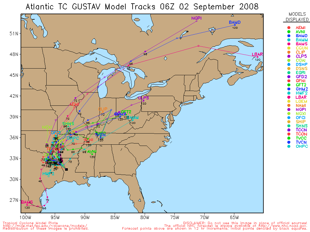
After Jamaica, the Cayman Islands will need to prepare, and then perhaps western Cuba. Beyond that, the models are still not completely trustworthy, the entire large cone needs to be watching, which includes Northeastern Texas east toward the Western End of the Florida Panhandle. Unfortunately, the features are complex enough to not know much more until Gustav gets around Cuba. The confidence in the track beyond 3 days is very low.

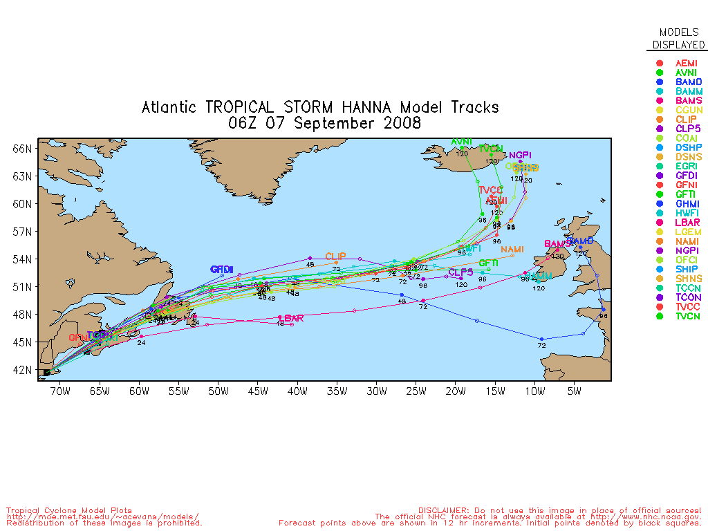
Hanna has been fighting with an upper low level pressure most of the day, which has kept the system weak, Hanna is another long range system that will have the Bahamas and the Southeastern US watching well into next week.
The low pressure area in the Bay of Campeche (96L) has a shot at becoming a depression or storm before landfall, but it will run out of time quickly.
There are two other waves in the Atlantic, one east of Hanna, another off Africa, that are also worth watching. This is a very busy time in the tropics, unlike anything we have seen in the past 2 years.
8:45AM
Judging from reports and Best Track, it appears TD#8 has formed into Tropical Storm Hanna, the next advisory at 11AM EDT should reflect this.
Original Update
Good morning.

Things are busy in the tropics, today, with Gustav and newly formed Tropical Depression 8.
Tropical Depression 8 has formed in the Atlantic from 95L northeast of the Leeward Islands, it's general motion is toward the west and northwest for the next few days, and may meander a bit, and after that is a bit open.
Chances of a US threat are fairly low right now, but gaining and definitely in territory that the Bahamas, Florida, and the southeast coast will want to watch. Most models have it moving generally west northwest, and then slowing down and perhaps moving a bit southwest, after which is anyone's guess. A Blocking high is what likely may force the system back southwest or west, or force it to meander.
There is a chance for two land falling systems to take the news away next week.
If TD#8 were to affect the US, it would be 8-10 days from now.
It will likely strengthen later today, and the next name up is Hannah.
So where will it really go, discuss that part and the models in the Lounge for TD#8

Gustav weakened a great deal last night with land interaction in Haiti, but has regained itself quite a bit, and moved erratically southwest on top of it. It will likely be a hurricane again by the next update around 11AM.
Tropical Storm Gustav has moved Southwest and may move "Around" Jamaica, Hurricane Warnings are now up for the island. Gustav has moved further south/west than expected. Still much too early to tell what impacts will be in the Gulf of Mexico and probably will remain that way until sometime later this weekend.
The Cayman Islands should begin to prepare as well, as Gustav may be fairly strong by the time it nears there.
Lounge for Gustav
More to come soon.
Google Map Plot of Both Gustav and Hanna
Flhurricane Long Term Recording of Cuban radar mosaic
Jamaican Media
Jamaican Radio (106 Power)
Go Jamaica Hurricane Dean Watch
Jamaica Gleaner (Jamaican Newspaper)
Jamaica Observer (Newspaper)
Nationwide Radio (Hurricane coverage and live reports
starting evening 8/18.)
Jamaican News/Talk 93
Love 101 Radio
Kool 97 Radio
Irie FM Radio
Other
Jamaican StormCarib Reports
Jamaican Meteorological Service
Caribbean Islands Weather Reports
NOTE ON 96L Images have been delayed in opening, the current 96L is in the Bay of Campeche (Southwest Gulf of Mexico)
|
allan
Weather Master

Reged:
Posts: 468
Loc: Palm Coast, Florida
|
|
Actually models are pointing towards a US landfall with Hanna (named by navy hurricane center as of now). Hanna is likely to strengthen according to the and the track takes it over the ULL then a high builds to stop it from moving out to sea and shoves it west towards Florida, but North Carolina could be a good bet if the trough that recurves Gustav is stronger than we think. All in all, both of them too close for comfort.
--------------------
Allan Reed - 18,9,5
|
MikeC
Admin
Reged:
Posts: 4544
Loc: Orlando, FL
|
|
I went back and clarified. Still I hate looking at the potential for next week, both in the Gulf and the Atlantic. Gustav with it's models going back and forth, moving southwest, and now TD#8, which will probably be Hannah Very soon based on T-Numbers, are going to make this one of the busiest weeks since 2005.
The same high pressure system that keeps Gustav away from Florida may force TD#8 closer.
|
danielw
Moderator

Reged:
Posts: 3525
Loc: Hattiesburg,MS (31.3N 89.3W)
|
|
Persistant area of convection with what appears to have High Pressure overhead in the Southern Bay of Campeche.
|
Jeff B
Registered User
Reged:
Posts: 1
|
|
The local Met in Orlando explained Gustav is expected to work it's way around a high over Florida. He also said this high is scheduled to move out over the Atlantic next week and will block TD#8 from moving out to sea and move it back towards Florida.
My question is this: If the high moves earlier or if Gustav moves slower, is there a chance Gustav makes the turn toward Florida? It seems one of the most recent models has it going into the big bend area, Is Tampa or south in the mix?
|
WeatherNut
Weather Master
Reged:
Posts: 412
Loc: Atlanta, GA
|
|
How close do these two (Gustav and Hannah) have to be before some sort of Fujiwara effect comes into play? Hannah looks to be moving closer. Wouldn't this effect cause them to slightly pinwheel off of each other if they are close enough?
--------------------
Born into Cleo (64)...been stuck on em ever since
|
Storm Hunter
Veteran Storm Chaser

Reged:
Posts: 1370
Loc: Panama City Beach, Fl.
|
|
Looks like Hanna is exposed now... i think the center is on the west side of covection... that ULL to the west is winning out right now. I kinda susprised if they upgrade to a TS with the way she's looking on sats this hour.
--------------------
www.Stormhunter7.com ***see my flight into Hurricane Ike ***
Wx Data: KFLPANAM23 / CW8771
2012== 23/10/9/5 sys/strms/hurr/majh
Edited by Storm Hunter (Thu Aug 28 2008 05:16 PM)
|
LoisCane
Veteran Storm Chaser

Reged:
Posts: 1236
Loc: South Florida
|
|
The was calling that models back. I don't think that will happen now as Gustav seems to have done well going WSW.
More curious on how any development in the BOC could affect Gustav?
What a traffic jam out there today..
http://www.ssd.noaa.gov/goes/east/watl/loop-wv.html
--------------------
http://hurricaneharbor.blogspot.com/
|
kromdog
Weather Hobbyist
Reged:
Posts: 66
Loc:
|
|
Kind of looks like a flight pattern for an air traffic control tower! Too early to tell but think of the possibility of Hanna cutting through Florida, back out into the GOM and making a second landfall in the central gulf coast behind Gustav. Very ugly!
|
Raymond
Weather Guru
Reged:
Posts: 112
Loc: Germany
|
|
The is really very conservative about the intensity! With the strong intensifiying trend during recon presence some time ago and the radically improving structure recently Gustav should be quite stronger! So we have to wait for the next recon mission to confirm this!
|
MillardDJr
Registered User
Reged:
Posts: 2
|
|
I like the loop, but it reminds me of the satellite pictures from "Day after tomorrow" with 3 disturbances all lined up in a row.
That being said, it will be interesting to see how these 3 areas interplay over the next several days.
|
HCW
Storm Tracker

Reged:
Posts: 287
Loc: Mobile,AL
|
|
What kind effect will Invest 96L that is looking really impressive IMHO have on Gustav ? Will it allow him to go more west ? If 96L does form into a TD today we will be only 2 storms away from a season that looks like the 2005 season. Good luck to all of you are in the path of Gustav & Hanna
James n Mobile, AL
--------------------
Over 4,000 members and now on a new server
http://www.hardcoreweather.com
|
StormHound
Weather Guru
Reged:
Posts: 187
Loc: Orlando, FL
|
|
You guys are probably going to tell me I'm crazy. But the on the WV loop that swirl at 22N, 65W looks to be building up and sucking up the convection from TD8 and pulling it into itself.
Is that what is happening?
--------------------
Storm Hound
Computer Geek
Edited by StormHound (Thu Aug 28 2008 04:39 PM)
|
Storm Hunter
Veteran Storm Chaser
Reged:
Posts: 1370
Loc: Panama City Beach, Fl.
|
|
Looks to me that Gustav made landfall on the eastern tip of Jamica... just as the eye was trying to form, per sats. I still think the forecast on Gustav is a little fast after it gets into the GOM... but models have be consistant on at LA as the center of the cone...
jamaica radar with velocity
http://www.metservice.gov.jm/radarpage1.asp
is it me or did they place a 1008mb low in the BOC with that convection/96L per NAVY?
http://www.ssd.noaa.gov/goes/flt/t3/loop-vis.html
--------------------
www.Stormhunter7.com ***see my flight into Hurricane Ike ***
Wx Data: KFLPANAM23 / CW8771
2012== 23/10/9/5 sys/strms/hurr/majh
Edited by Storm Hunter (Thu Aug 28 2008 06:35 PM)
|
Wingman51
Weather Guru

Reged:
Posts: 126
Loc: Orlando, FL
|
|
The Mets on here are better at this analysis than I am, however, what I thin we are seeing is a mid level circulation that will help to push Gus South but will not have a diminishing influence long term on his development. I could be way off base, but that's what these "old" eyes see. 
|
Raymond
Weather Guru
Reged:
Posts: 112
Loc: Germany
|
|
Recon is in the storm again:
Center is just on the eastern tip of Jamaica and moves obviously westward with a higher speed. So the center will move over southern Jamaica and Gustav will be tortured again.
Here some data from High density Observations:
Minimum pressure: 982 hpa
175130 1759N 07612W 6967 03009 9823 +144 +110 160009 012 999 999 03
Maximum Flight level Wind: 71 kt
174800 1749N 07610W 6961 03057 9983 +055 +055 229061 071 099 042 03
Max. Surface Wind: 115 kt!!??
180300 1803N 07603W 6987 03042 9990 +062 +062 153064 064 115 033 03
Why is it so high? An error?
edit: In the vortex data message they have 35 kt as max. surface wind 97nm easterly from the center!!?? 
edit2: I see, the very last number in the line, which is 3, indicates that the surface wind data measured with SFMR is questionable. So I think, they just took the last value, which was ok, and used this in the Vortex Data Message. The real value for the max. surface wind should be somewhere in the sixties!
Edited by Raymond (Thu Aug 28 2008 07:09 PM)
|
MichaelA
Weather Analyst

Reged:
Posts: 944
Loc: Pinellas Park, FL
|
|
Quote:
You guys are probably going to tell me I'm crazy. But the on the WV loop that swirl at 22N, 65W looks to be building up and sucking up the convection from TD8 and pulling it into itself.
Is that what is happening?
That upper level low has persisted for quite a while. It is imposing SWestery shear over Hannah for now. Whether it moves away from Hannah or not will determine whether or not Hannah remains viable. I would not be surprised to see Hannah downgraded at 5 PM.
--------------------
Michael
PWS
|
danielw
Moderator
Reged:
Posts: 3525
Loc: Hattiesburg,MS (31.3N 89.3W)
|
|
** 2008 ATLANTIC RI INDEX AL072008 GUSTAV 08/27/08 18 UTC **
( 25 KT OR MORE MAX WIND INCREASE IN NEXT 24 HR)
Prob of RI for 25 kt RI threshold= 42% is 3.4 times the sample mean(12.3%)
Prob of RI for 30 kt RI threshold= 30% is 3.8 times the sample mean( 7.8%)
Prob of RI for 35 kt RI threshold= 16% is 3.5 times the sample mean( 4.5%)
|
Terra
Storm Tracker
Reged:
Posts: 286
Loc: Kingwood, Texas
|
|
The 5pm update is out now and the prssure is up from 983mb to 985mb. However, the winds are still at 70. Hopefully the interaction with Jamaica will decrease the windspeed at 8pm. Still moving to the west. The forecast track has not updated yet... Waiting to see if the official forecast track changes. The 18Z model consensus is in line with the earlier forecast track, so it's not likely to shift much.
Ok, it's up now, and if anything, it shifted the tiniest bit to the east, but nothing to write home about.
--------------------
Terra Dassau Cahill
Edited by Terra (Thu Aug 28 2008 09:02 PM)
|
JoshuaK
Weather Guru
Reged:
Posts: 159
Loc: Lakeland, FL
|
|
Quote:
is it me or did they place a 1008mb low in the BOC with that convection?
Nope, not just you. I see it there too. And I can see some circulation within the convection in some of the lower clouds, but no sign of upper level circulations though. In any case this is Invest 96L, and appears to be moving in a slow NNW direction for the time being.
The center of Gustav appears to be on the southern coast of central Jamacia, continuing to move west. The circulation center of Hannah appears to be displaced to the west of the convection, I was curious if the ULL to the west of the system would impart either shear or other conflict with the storm, and this appears to be happening now.
|


 Threaded


