F
Current Radar or Satellite Image

Flhurricane.com - Central Florida Hurricane Center - Tracking Storms since 1995Hurricanes Without the Hype! Since 1995


The 2024 Atlantic Hurricane Season Begins on June 1st and lasts until Nov 30th. NHC Outlooks resume on May 15th..
Days since last H. Landfall - US: Any 237 (Idalia) , Major: 237 (Idalia) Florida - Any: 237 (Idalia) Major: 237 (Idalia)


Archives 2010s >> 2014 News Talkbacks

Pages: 1
MikeCAdministrator
Admin


Reged:
Posts: 4544
Loc: Orlando, FL
Slow Atlantic on the 10th Anniversary of the last 2004 Florida Hurricane
      #95319 - Fri Sep 26 2014 12:52 PM

Today marks 10 years since the landfall of hurricane Jean, the last of the "big 4" to hit in 2004. It made landfall in the evening, only a few miles from where Hurricane Frances made lade fall a few weeks before. Jeanne was notable for doing a large loop in the Bahamas and causing erosion and damage along the east beaches all the way up to Volusia county, The highest winds were felt in Indian river and southern Brevard county. Surge and beach erosion caused damage to structures into Volusia county, however.

One more hurricane, Wilma, would make landfall in Florida the following year before the nearly 9 year gap (and counting) we have now. Only a few tropical storms affected Florida since 2005.

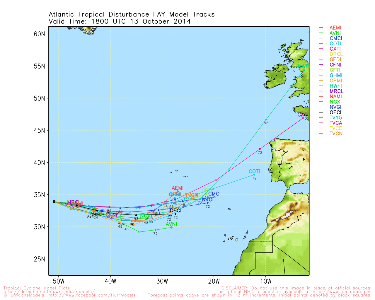
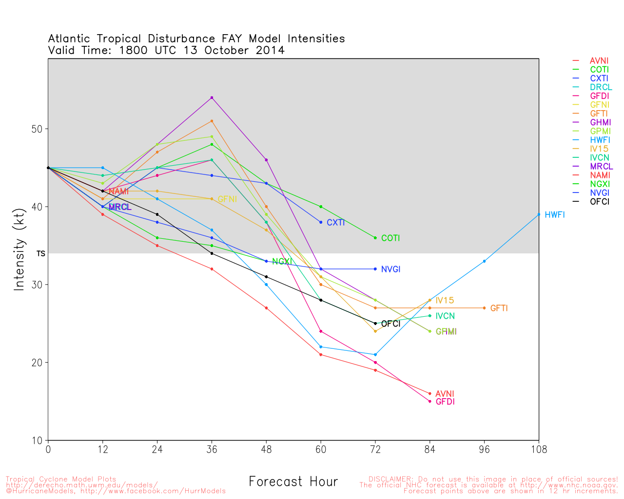
Although 96L is being tracked in the Central Atlantic, the generally hostile conditions across the Atlantic will likely keep this one from developing. "home grown" systems closer to us are the most likely place for formation at this time, and nothing is organized enough to be a threat short term. Stalled fronts have caused excessive rainfall this week in Florida, but nothing tropically significant was able to come of it.

East Florida Links <html><a href="http://radar.weather.gov/ridge/Conus/southeast_lite_loop.php" onMouseover="ddrivetip('<img src=\'http://radar.weather.gov/ridge/Conus/Loop/southeast_loop.gif\'>');" onMouseout="hideddrivetip();">Southeast Composite Radar Loop</A>

(<a href="http://radar.weather.gov/ridge/Conus/southeast_lite.php" 

onMouseover="ddrivetip('<img src=\'http://radar.weather.gov/ridge/Conus/RadarImg/southeast.gif\>');" onMouseout="hideddrivetip();">Latest Static</a></html>) South to North:

<html> <a href="https://radar.weather.gov/ridge/lite/K</html>BYW<html>_loop.gif" onMouseover="ddrivetip('<img src=\'https://radar.weather.gov/ridge/lite/K</html>BYW<html>_loop.gif\'>');" onMouseout="hideddrivetip();"></html>Key West, FL Radar<html> Radar Loop</A>

(<a href="https://radar.weather.gov/ridge/lite/K</html>BYW<html>_0.gif" onMouseover="ddrivetip('<img src=\'https://radar.weather.gov/ridge/lite/K</html>BYW<html>_0.gif\'>');" onMouseout="hideddrivetip();">Latest Static</a>)</html>

<html> <a href="https://radar.weather.gov/ridge/lite/K</html>AMX<html>_loop.gif" onMouseover="ddrivetip('<img src=\'https://radar.weather.gov/ridge/lite/K</html>AMX<html>_loop.gif\'>');" onMouseout="hideddrivetip();"></html>Miami, FL Radar<html> Radar Loop</A>

(<a href="https://radar.weather.gov/ridge/lite/K</html>AMX<html>_0.gif" onMouseover="ddrivetip('<img src=\'https://radar.weather.gov/ridge/lite/K</html>AMX<html>_0.gif\'>');" onMouseout="hideddrivetip();">Latest Static</a>)</html>

<html> <a href="https://radar.weather.gov/ridge/lite/K</html>MLB<html>_loop.gif" onMouseover="ddrivetip('<img src=\'https://radar.weather.gov/ridge/lite/K</html>MLB<html>_loop.gif\'>');" onMouseout="hideddrivetip();"></html>Melbourne, FL Radar<html> Radar Loop</A>

(<a href="https://radar.weather.gov/ridge/lite/K</html>MLB<html>_0.gif" onMouseover="ddrivetip('<img src=\'https://radar.weather.gov/ridge/lite/K</html>MLB<html>_0.gif\'>');" onMouseout="hideddrivetip();">Latest Static</a>)</html>

<html> <a href="https://radar.weather.gov/ridge/lite/K</html>JAX<html>_loop.gif" onMouseover="ddrivetip('<img src=\'https://radar.weather.gov/ridge/lite/K</html>JAX<html>_loop.gif\'>');" onMouseout="hideddrivetip();"></html>Jacksonville, FL Radar<html> Radar Loop</A>

(<a href="https://radar.weather.gov/ridge/lite/K</html>JAX<html>_0.gif" onMouseover="ddrivetip('<img src=\'https://radar.weather.gov/ridge/lite/K</html>JAX<html>_0.gif\'>');" onMouseout="hideddrivetip();">Latest Static</a>)</html>


Caribbean/South East Coast Satellite Imagery


SFWMD Radar Loop of South Florida with storm Track


SFWMD Full Florida Radar Loop with Storm Track


Area Forecast Discussions: FLorida Keys - Miami/South Florida - Melbourne/East Central Florida - Jacksonville/Northeast Florida -


Post Extras: Print Post   Remind Me!   Notify Moderator  
Pages: 1


Extra information
0 registered and 0 anonymous users are browsing this forum.

Moderator:  

Print Topic

Forum Permissions
      You cannot start new topics
      You cannot reply to topics
      HTML is disabled
      UBBCode is enabled

Rating:
Topic views: 1589

Rate this topic

Jump to

Note: This is NOT an official page. It is run by weather hobbyists and should not be used as a replacement for official sources. 
CFHC's main servers are currently located at
Hostdime.com in Orlando, FL.
Image Server Network thanks to Mike Potts and Amazon Web Services. If you have static file hosting space that allows dns aliasing contact us to help out! Some Maps Provided by:
Great thanks to all who donated and everyone who uses the site as well. Site designed for 800x600+ resolution
When in doubt, take the word of the National Hurricane Center