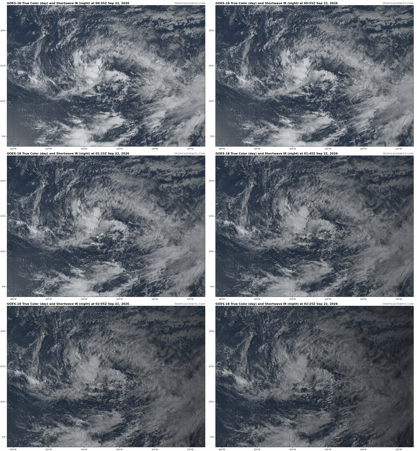
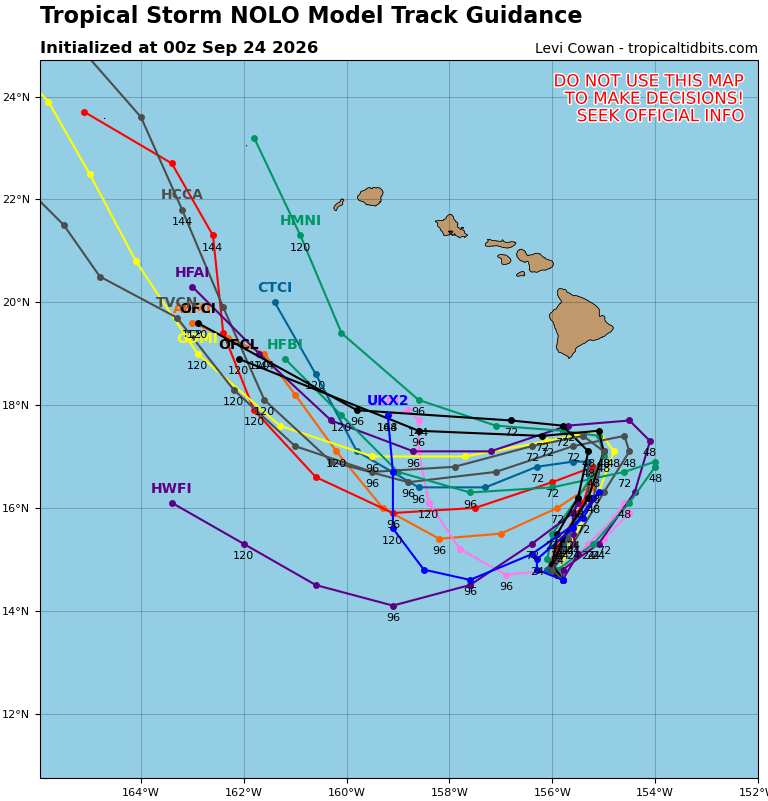
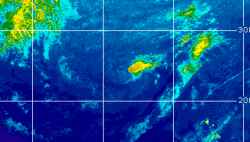
Remnants of Eastern Pacific TD FIFTEEN are in the process of redeveloping and a tropical storm is likely to form while the system is still south-southeast of the Big Island. NHC is now up to 90% odds and the models are generally advertising a track that puts at least the Big Island at risk of very heavy rain and more flash flooding, at a minimum. As such, we are starting a Lounge on this system.
As of 9/23/26, FIFTEEN has become Tropical Storm Nolo, and the title has been updated accordingly. Ciel
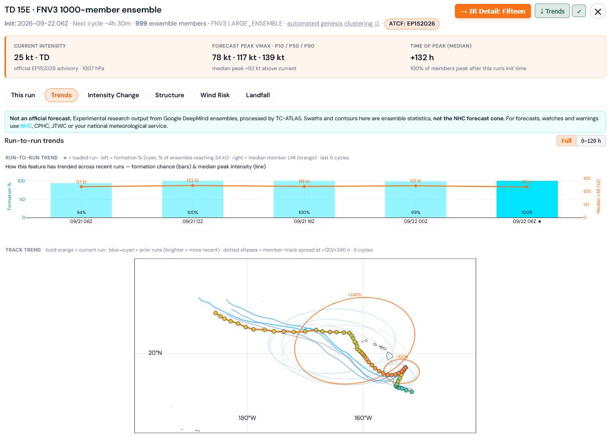
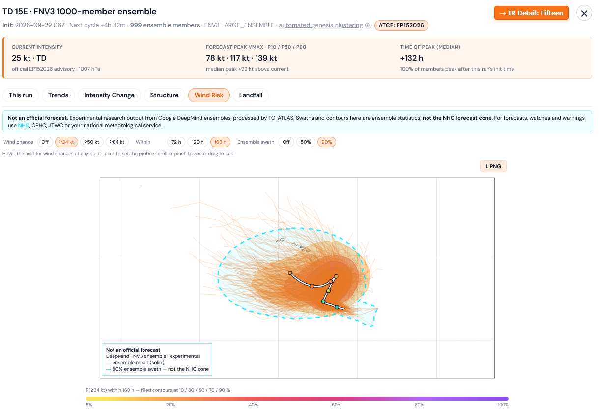
Most recent 1000 member FNv3 ensemble run (06z today) nudged closer to Hawaii with direct impacts on the islands implied to be likely.
Credits to TC-ATLAS
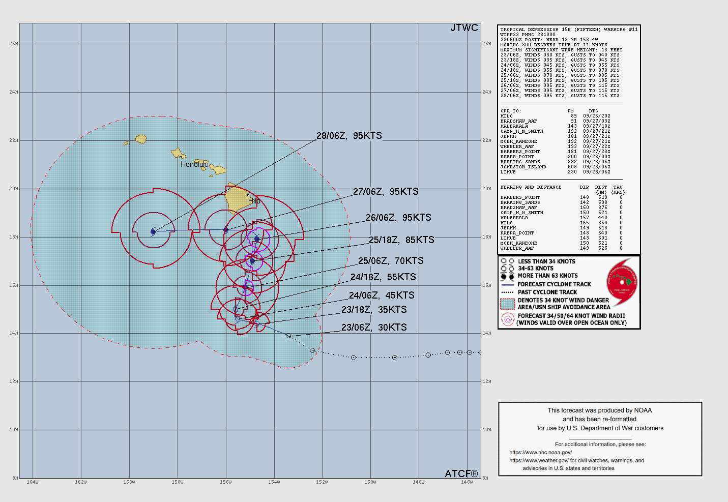
Today's 0z runs showing a little more consensus among the Globals and Hurricane Models that the center of Nolo will remain offshore, having taken a sharp left, west - to even southwest, while still fairly south of the Big Island. However, on this general track, much of the Right Front Quadrant, where the heaviest, most persistent rain and stronger winds in general are likely to occur, would still pound the Big Island.


 Previous
 Index
 Next
 Threaded





 Edit
 Reply
 Quote