|
For Part 4, June 11th on, click here --
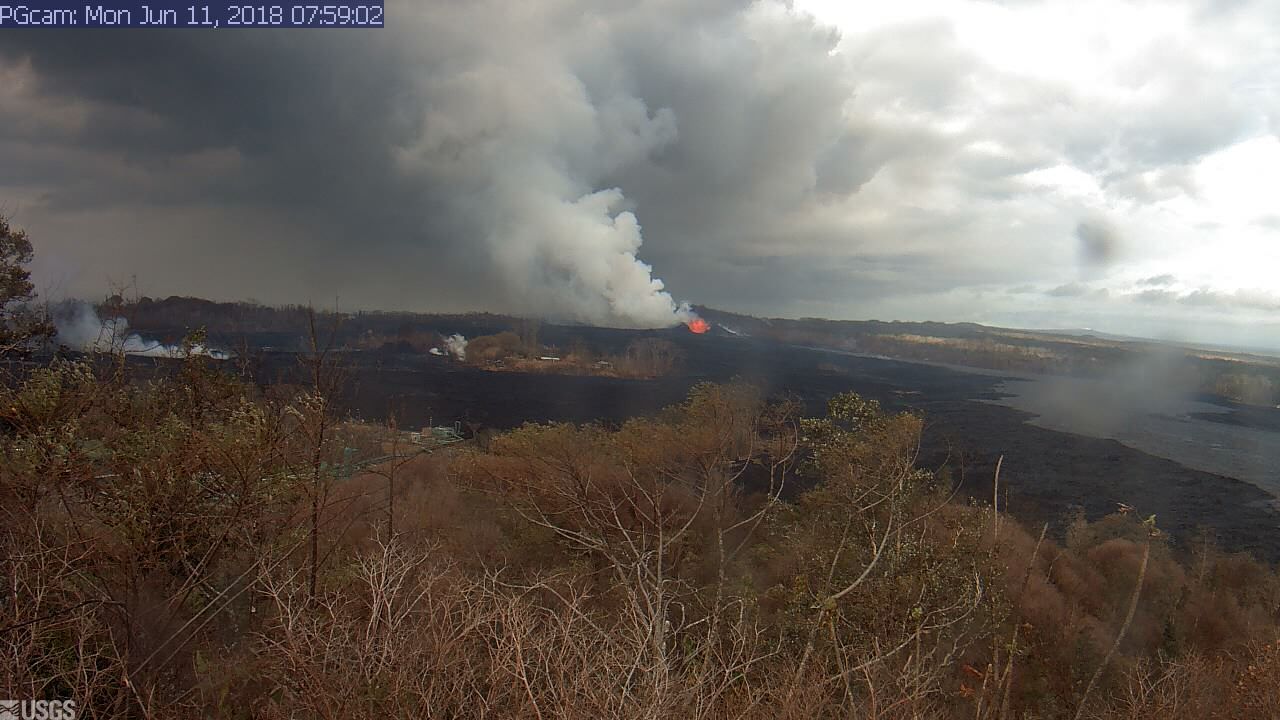
These images are recorded from the USGS webcam sourced from https://volcanoes.usgs.gov/observatories/hvo/webcam.html?webcam=PGcam..
Be aware, there are a LOT of static images that can take a while to load, you can adjust playback speed, swing, or reverse the images.
View is overlooking Leilani Estates, the green building in the foreground (that gets overtaken) is part of Puna Geothermal Venture (PGV)
Older Camera Images from May 4 - May 26 available at May 4-26th PG Camera Images May 27th-June 4th at Part 2
USGS Kilauea Status Updates - Hawaii County Civil Defense Alerts
Official USGS Maps -
Unofficial Community Lava Map - Another Unofficial Map - Yet another unofficial map, Lost Homes Map. (Use multiple sources, the community estimates come from a variety of sources!)
Updated Sources of info, Hawaii Tracker, Scott Wiggers @ Apau Hawaii Tours Video Series
Image Last Checked: 2:03 PM Jun 11 Image Last Updated: 2:03 PM Jun 11
Check out the experimental image animator with a date range bar and auto-refresh for this recording.
4069
|