
Post-Tropical Cyclone Cyclone (2011)
11/11 11:00 PM EDT - Sean Has Merged With A Cold Front
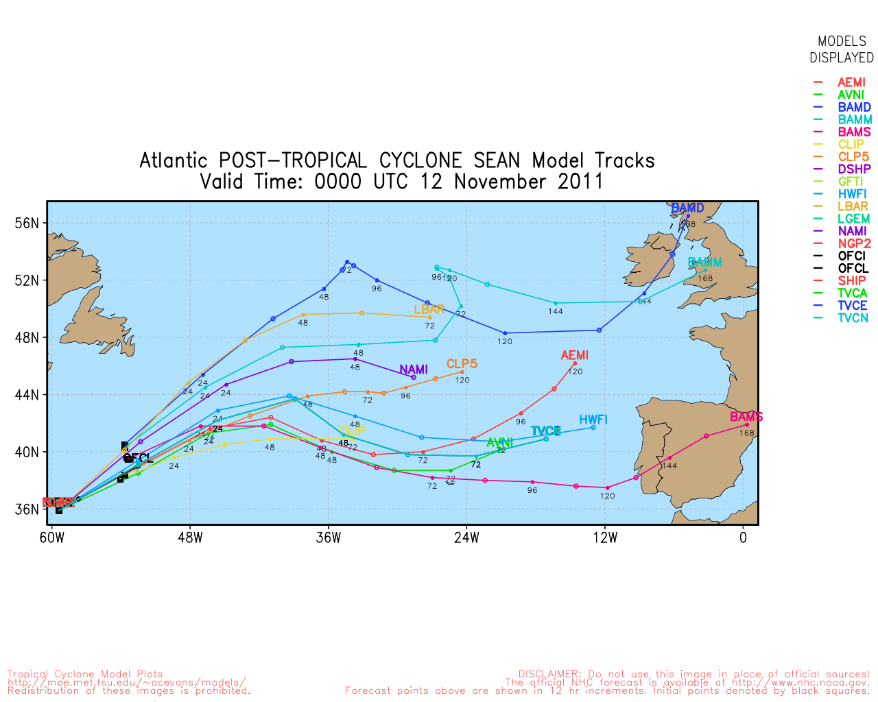
36.7N 57.7W
Windspeed: 40 MPH - Pressure: 1000mb
Movement: Ene at 35 MPH
| Public Storm Advisory | Cyclone B C | Dvorak T-Numbers | TAFB ssd UW-CIMSS |
| Governmental Storm Discussion | Cyclone B C | ||
| Forecast Advisory | Cyclone B | ||
The letters B C D and so on stand for alternate information sites, in case one is inoperative during
a internet swamping for storm info you can try another. These advisories come from the National Hurricane center: Usually they
are updated at 5AM, 11AM, 5PM and 11PM eastern.
When land areas are under a hurricane watch, it is updated every 3 hours.
Tropical Tidbits Info Page for Cyclone
- Weather Underground Wundermap
- NHC Interactive Map PlotWhen land areas are under a hurricane watch, it is updated every 3 hours.
Buoy Reports Near Cyclone - CIMSS Data for Cyclone - RAMMB Info and Satellites for Cyclone
Potential Storm Surge Flooding Map (Inundation) - NHC Track Map (See this animated)


 fa
fa
CIMSS Animated Satellite:

Weather Underground Animated Radar:


Coordinate History
| Adv# | Date | Lat | Long | Wind | Pres | Movement | Type | Name | Received | Forecaster |
| 1...CORREC | 11/08 3:00 AM | 27.2N | 69.4W | 45MPH | 1002mb | Ne at 6 MPH | subTS | Sean | 11/08 3:38 AM | Stewart |
| 1 | 11/08 5:00 AM | 27.2N | 69.4W | 45MPH | 1002mb | Stationary minimum central pressure...1002 mb...29.59 inches w | subTS | Sean | 11/08 2:48 AM | Stewart |
| 2 | 11/08 11:00 AM | 27.7N | 69.4W | 45MPH | 1002mb | N at 2 MPH | subTS | Sean | 11/08 9:50 AM | Blake |
| 2A | 11/08 2:00 PM | 27.7N | 69.5W | 45MPH | 1002mb | Stationary minimum central pressure...1002 mb...29.59 inches w | TS | Sean | 11/08 12:44 PM | Blake |
| 3 | 11/08 5:00 PM | 27.8N | 69.8W | 50MPH | 999mb | Wnw at 2 MPH | TS | Sean | 11/08 3:41 PM | Blake |
| 3A | 11/08 8:00 PM | 27.8N | 69.8W | 50MPH | 999mb | Stationary minimum central pressure...999 mb...29.50 inches wa | TS | Sean | 11/08 6:41 PM | Brennan |
| 4 | 11/08 9:00 PM | 27.9N | 70.1W | 50MPH | 999mb | W at 3 MPH | TS | Sean | 11/08 9:44 PM | Brennan |
| 4A | 11/09 12:00 AM | 27.9N | 70.3W | 50MPH | 997mb | W at 3 MPH | TS | Sean | 11/09 12:44 AM | Beven |
| 5 | 11/09 3:00 AM | 27.9N | 70.4W | 50MPH | 995mb | W at 3 MPH | TS | Sean | 11/09 3:44 AM | Beven |
| 5A | 11/09 6:00 AM | 27.8N | 70.5W | 50MPH | 995mb | W at 3 MPH | TS | Sean | 11/09 6:53 AM | Beven |
| 6 | 11/09 9:00 AM | 27.9N | 70.5W | 60MPH | 994mb | Nw at 3 MPH | TS | Sean | 11/09 9:56 AM | Blake |
| 6A | 11/09 12:00 PM | 28.3N | 70.6W | 60MPH | 994mb | Nnw at 5 MPH | TS | Sean | 11/09 12:53 PM | Blake |
| 7 | 11/09 3:00 PM | 28.7N | 70.5W | 65MPH | 991mb | N at 6 MPH | TS | Sean | 11/09 3:44 PM | Blake |
| 7A | 11/09 6:00 PM | 29.1N | 70.5W | 65MPH | 991mb | N at 6 MPH | TS | Sean | 11/09 6:35 PM | Brennan |
| 8 | 11/09 9:00 PM | 29.5N | 70.7W | 65MPH | 991mb | N at 8 MPH | TS | Sean | 11/09 9:44 PM | Brennan |
| 8A | 11/10 12:00 AM | 29.9N | 70.8W | 65MPH | 991mb | N at 8 MPH | TS | Sean | 11/10 12:47 AM | Beven |
| 9 | 11/10 3:00 AM | 30.2N | 70.9W | 65MPH | 991mb | N at 8 MPH | TS | Sean | 11/10 3:41 AM | Beven |
| 9A | 11/10 6:00 AM | 30.3N | 70.7W | 65MPH | 990mb | Nne at 8 MPH | TS | Sean | 11/10 6:53 AM | Blake |
| 10 | 11/10 9:00 AM | 30.4N | 70.5W | 65MPH | 990mb | Ne at 7 MPH | TS | Sean | 11/10 9:35 AM | Blake |
| 10A | 11/10 12:00 PM | 30.5N | 70.0W | 65MPH | 983mb | Ne at 9 MPH | TS | Sean | 11/10 12:59 PM | Blake |
| 11 | 11/10 5:00 PM | 30.9N | 69.4W | 65MPH | 983mb | Ne at 13 MPH | TS | Sean | 11/10 3:44 PM | Blake |
| 11A | 11/10 8:00 PM | 31.0N | 69.0W | 65MPH | 983mb | Ene at 13 MPH | TS | Sean | 11/10 6:35 PM | Brennan |
| 12 | 11/10 11:00 PM | 31.5N | 68.2W | 65MPH | 983mb | Ene at 13 MPH | TS | Sean | 11/10 9:35 PM | Brennan |
| 12A...CORR | 11/11 2:00 AM | 32.0N | 67.5W | 65MPH | 983mb | Ene at 14 MPH | TS | Sean | 11/11 12:56 AM | Brennan |
| 13 | 11/11 5:00 AM | 32.9N | 66.3W | 60MPH | 989mb | Ne at 22 MPH | TS | Sean | 11/11 3:53 AM | Beven |
| 13A | 11/11 8:00 AM | 33.4N | 65.4W | 60MPH | 989mb | Ne at 22 MPH | TS | Sean | 11/11 6:56 AM | Cangialosi/stewart |
| 14 | 11/11 11:00 AM | 34.0N | 64.1W | 50MPH | 991mb | Ne at 23 MPH | TS | Sean | 11/11 9:56 AM | Cangialosi/stewart |
| 14A | 11/11 2:00 PM | 34.8N | 62.5W | 50MPH | 991mb | Ne at 25 MPH | TS | Sean | 11/11 1:23 PM | Cangialosi/stewart |
| 15 | 11/11 5:00 PM | 35.5N | 61.3W | 50MPH | 991mb | Ne at 30 MPH | TS | Sean | 11/11 3:32 PM | Cangialosi |
| 16 | 11/11 11:00 PM | 36.7N | 57.7W | 40MPH | 1000mb | Ene at 35 MPH | PTC | Cyclone | 11/11 9:53 PM | Avila |