5PM EDT Update 11 September 2020
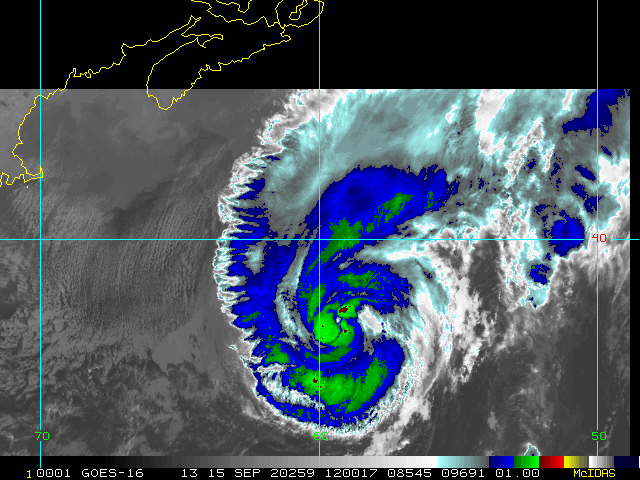
Tropical Depression 19 forms near the Bahamas. Tropical storm watch up south of Jupiter Inlet, to N. of Ocean Reef.
11:55 AM EDT Update 11 September 2020
The area east of the Bahamas (Invest 96L) now has a 70% chance to develop, and a 60% chance to develop within the next 48 hours. Those in the Keys and South Florida should watch, although it is likely to be just a heavy rain maker. Those in the Central North Gulf (LA to FL panhandle) need to watch it closely as it may decide to get its act together more quickly than previously anticipated.
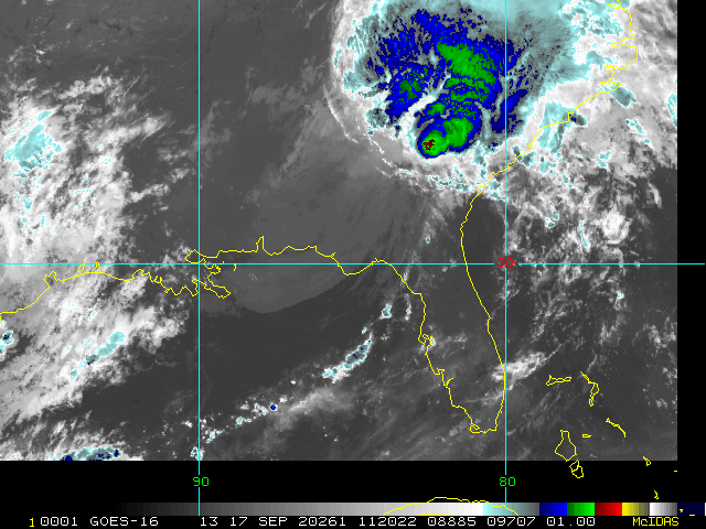
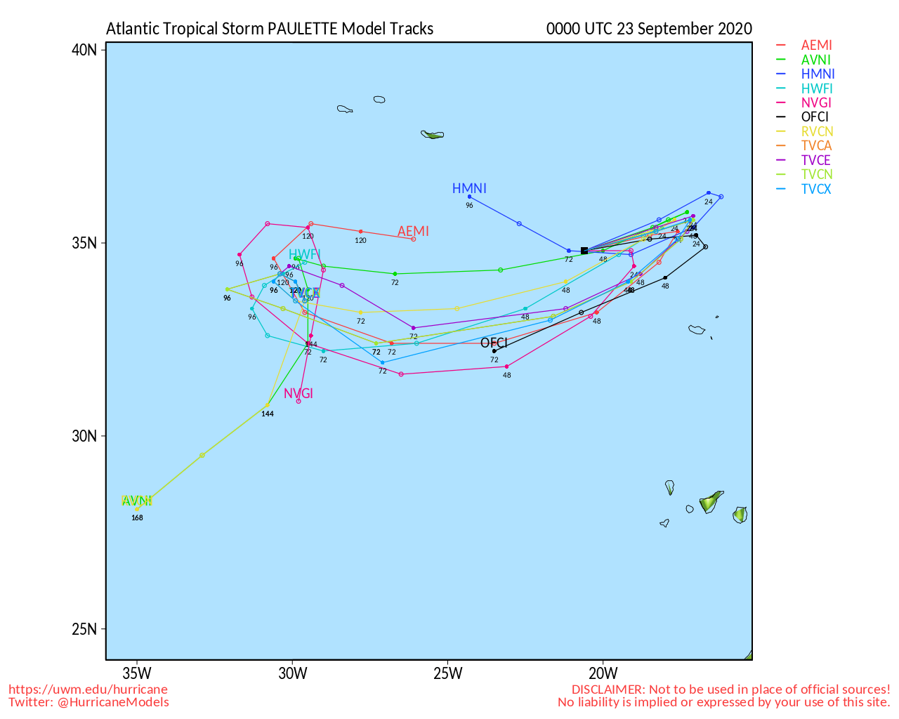
Paulette should be closely monitored by those in Bermuda.
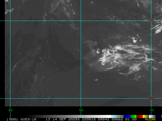
The first wave in the east Atlantic (95L) has a 90% chance to develop over the next 5 days, those in the eastern Caribbean will want to monitor it, but it's looking more likely it will stay out to sea once beyond there.
The last area in the east Atlantic has a 40% chance to
develop, and probably will remain out to sea also.
9:30 AM EDT Update 10 September 2020
7 areas are being watched right now in the Tropics. 2 Storms, Paulette and Rene. Paulette should be watched by Bermuda. Long term the "red" area should be watched by the Caribbean as it has the best chance out of all of them for some sort of impact and has a 90% chance for development. The 3 near the US all are low chance, in fact the one near North Carolina is at 0%, only mentioned to indicate that it won't develop, but may cause some rain.
The areas in the Gulf are 30 and 20%, the one east of the Bahamas does not look like it will have any changce to develop before moving over Florida, but should up the rain chances in Florida over the weekend. These two Gulf systems are mentioned because September and October are notorious for spinning up quick systems in the Gulf that go under the radar. They are unlikely to develop, but the chance is still there, so they should be watched.
Yet another wave coming off Africa has a 40% chance to develop.
In short, high activity, low impact currently, but the situation could change. The ones in the Gulf should be watched because of how close they are, but are still unlikely to develop, and the 90% (Red) area has the highest chances of impact down the road. Paulette should be watched closely by those in Bermuda as it is in the cone, and possibly may be a hurricane when it is near there.
9:45 PM EDT Update 9 September 2020
Extremely active tropics, but no immediate threats, with two ones close enough to monitor for changes and one storm (Paulette) that Bermuda needs to watch closely.
Including an area just east of the Bahamas that has a 20% chance to develop after it moves over Florida (probably bringing enhanced rain to Florida over the weekend) but the proximity and travel over the Gulf stream make this one at least worth paying attention to later in the Gulf.
The area off the coast of the Carolinas only has a 20% chance to develop, and may bring some rain to the Carolinas. Those there should watch for any changes, but not much is expected.
Paulette is likely to remain out to sea, but may come close or near Bermuda, so those there should continue to watch it.
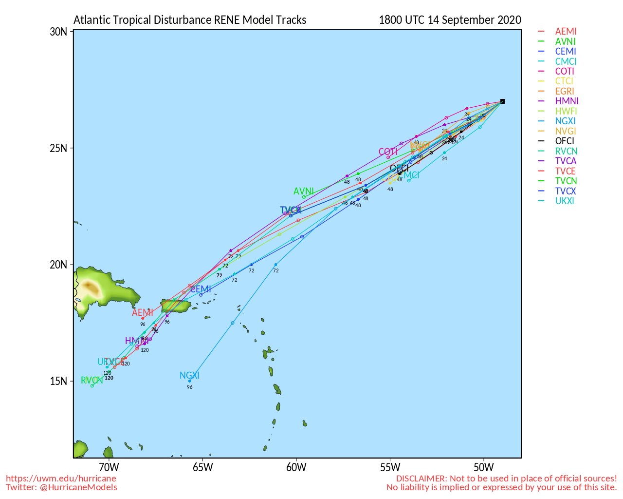
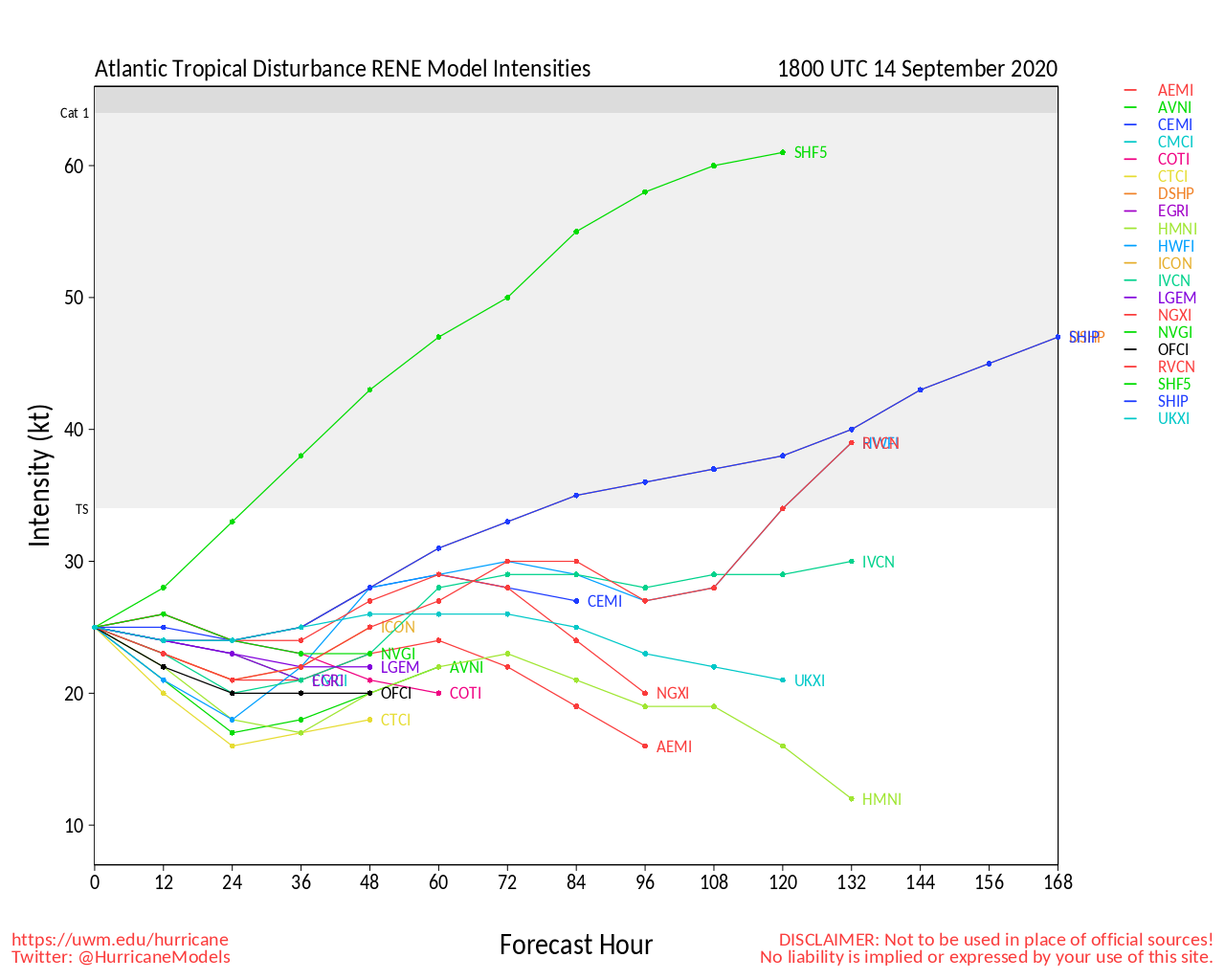
Rene should remain out to sea.
Two areas east of Rene, one has a 90% chance to develop, and of the batch, most likely to need watching later, but it still has a long way to determine that.
The last area is moving off Africa, but only has a 20% chance to develop currently,.
Original Update
Paulette and Rene are still there, but should be no further impact to land. Bermuda may want to watch Paulette if it creeps toward there.
The area off the coast of the Carolinas (94L)'s development chances are dropping, and likely will not develop, but it still has a 30% chance to develop. This is most likely just going to be a Rain maker, but folks should watch it in case anything changes.
The area moving off the coast of Africa has an 80% chance to develop, but low impact potential as it too is most likely going out to sea, but there is time to watch this if it changes. Particularly Bermuda.
We'll be monitoring the tropics, as things can change quickly, but there is nothing too concerning at the moment.
Model analysis, discussion and more in the 95L Forecast Lounge
Model analysis, discussion and more in the 96L Forecast Lounge
Keys Webcams


 Threaded


