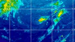
Current Radar or Satellite Image

Flhurricane.com - Central Florida Hurricane Center - Tracking Storms since 199531 Years of Hurricanes Without the Hype - Since 1995


Non-tropical Invest 94L well south of Bermuda slight odds of being named. EPAC TROF now extending across Central America into NW Caribbean.
Days since last Hurricane Landfall — US Any: 28 (Isaias), US Major: 758 (Milton), FL Any: 28 (Isaias), FL Major: 758 (Milton)
FlHurricane Atlantic Tropical Cyclone Tracking 🌀 Since 1995
HypeScale:
1.20
0510
Communication
Storm Data
Content
Follow & Connect
 

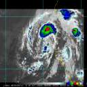
Clark Evans/Flhurricane Animated Storm Intensity Model Plots for Post-Tropical Cyclone Barry (2019)
(source images from FSU and Flhurricane Met/Clark Evans) - Unofficial Image, do not use for planning.

12 images in loop - Last Checked: 07:45 pm 15-Jul-2019 EDT. Last Updated: 10:12 am 08-Jul-2019 EDT

Other animated plots: Clark Evans Track Models - SFWMD - Skeetobite

Updates checked for every hour, Actual changes depend on NHC/Models themselves.