
Latest CFHC News
- See More News...
Ending July with the Atlantic Quieter, Pacific Roaring
Posted: 02:43 PM 26 July 2026 | | Add Comment
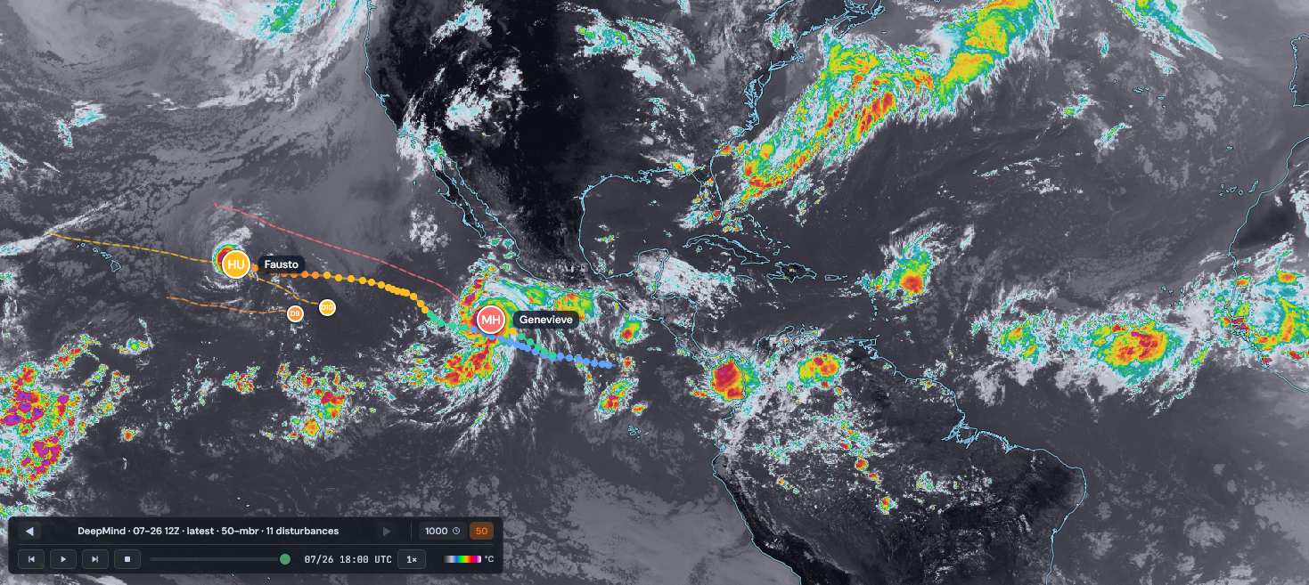
Screenshot image credit: TC-ATLAS
What is becoming quite possibly one of the strongest, if not the strongest, El Niños on record,has made it very difficult for otherwise could-be very powerful tropical cyclones in the Atlantic to level up. Both Arthur and Bertha had internal dynamics that in even just average ENSO years could easily have had them both become formidable early season hurricanes, instead came in much less intense versions of themselves. In the Pacific, things are completely different, and a number of US land locations on that side of the CONUS look to be at greater risk for impacts and maybe even direct hits this year.
We are currently tracking Hurricane Fausto, which is likely to at least indirectly swipe the northern Hawaiian islands and bring enhanced, potentially flooding rainfalls to some locations there. We have a Lounge up on this system and have allowed our Hype Scale to reflect the possibility of a US land impact for it, although this number could be coming down if current north-side-of-cone tracks continue. Recon is flying multiple flights into Fausto and this information is truly helping to improve the forecast.
Getting back to the Atlantic as we head into August, even strong El Niño years can occasionally see substantial rampups during that roughly August 20 to Sep 10 lead into climatological peak, so things may pick up later in August. Near-term, both the MJO and NAO phases are actually supportive for development in the Atlantic basin, but Chris Farley would like to have a word with them.
Latest X/Twitter posts from Flhurricane X Page
Tweets by cfhc
If posts are unavailable here, open them directly:
@CFHC on X
General Links
Resources
<strong>Satellite / Observations</strong>
Storm Forum (community discussion)
<strong>Data / Tracking / SST</strong>
<strong>Models</strong>
<strong>Other Commentary / Tools</strong>
<strong>Official / Primary</strong>
ICON,
Euro,

