Current Radar or Satellite Image

Flhurricane.com - Central Florida Hurricane Center - Tracking Storms since 199531 Years of Hurricanes Without the Hype - Since 1995


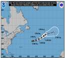
Josephine forms from 93L. Forecast to become a hurricane-force fish spinner. Watching off SE for potential new Area of Interest this weekend.
Days since last Hurricane Landfall — US Any: 14 (Isaias), US Major: 744 (Milton), FL Any: 14 (Isaias), FL Major: 744 (Milton)
FlHurricane Atlantic Tropical Cyclone Tracking 🌀 Since 1995
39.2N 67.3W
Wind: 65MPH
Pres: 988mb
Moving:
Present movement...ne or 45 degrees at 12 mph...19 km/h
Click for Storm Spotlight
HypeScale:
0.05
0510
Communication
Storm Data
Content
Follow & Connect
 
Rita High Res Radar: -1--

List of Flhurricane Recorded Animations for 2005 Tagged "Rita (2005)"

Choose Another Year
> [xml]
Latest/Example Image Storm/Event Title Active Stats Hits
Rita High Res Radar
Rita (2005)
Rita High Res Radar
No
Started:
01/01/2030 12:00am
Last Updated:
09/21/2005 07:02am
Last Checked:
09/21/2005 07:02am
Image Count:
-1
2129
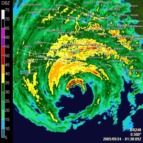
Rita Radar
Rita (2005)
Rita Radar
No
Started:
09/23/2005 07:05pm
Last Updated:
09/24/2005 03:48am
Last Checked:
10/23/2005 12:59pm
Image Count:
87
2615
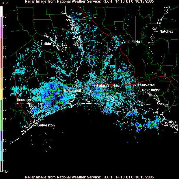
Rita Gulf Approach Radar
Rita (2005)
Rita Gulf Approach Radar
No
Started:
09/23/2005 01:24pm
Last Updated:
10/23/2005 12:59pm
Last Checked:
10/23/2005 12:59pm
Image Count:
6142
2475
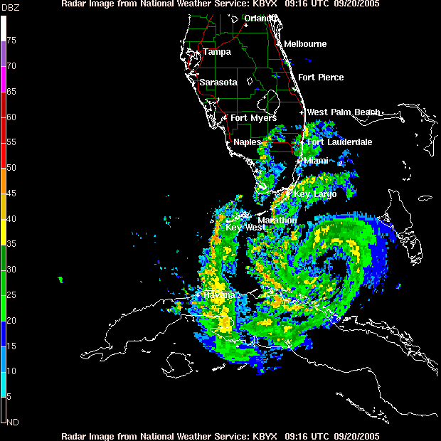
Key West Radar Recording of Rita
Rita (2005)
Key West Radar Recording of Rita
No
Started:
09/19/2005 09:54pm
Last Updated:
09/21/2005 05:32am
Last Checked:
09/21/2005 07:02am
Image Count:
234
2992
Tropical Storm  Rita Radar Image
Rita (2005)
Tropical Storm Rita Radar Image
No
Started:
09/19/2005 05:47pm
Last Updated:
09/20/2005 06:54am
Last Checked:
09/20/2005 07:14am
Image Count:
31
2691
Total: 5     0 6493 12902