| Tomas (2010) | French Antilles Radar Animation for Tomas (2010) Approach
Meteo France updates approximately once every 15 minutes | No | Started:
10/29/2010 04:52pm
Last Updated:
11/01/2010 06:52am
Last Checked:11/01/2010 07:00am
Image Count:250 | 48085 |
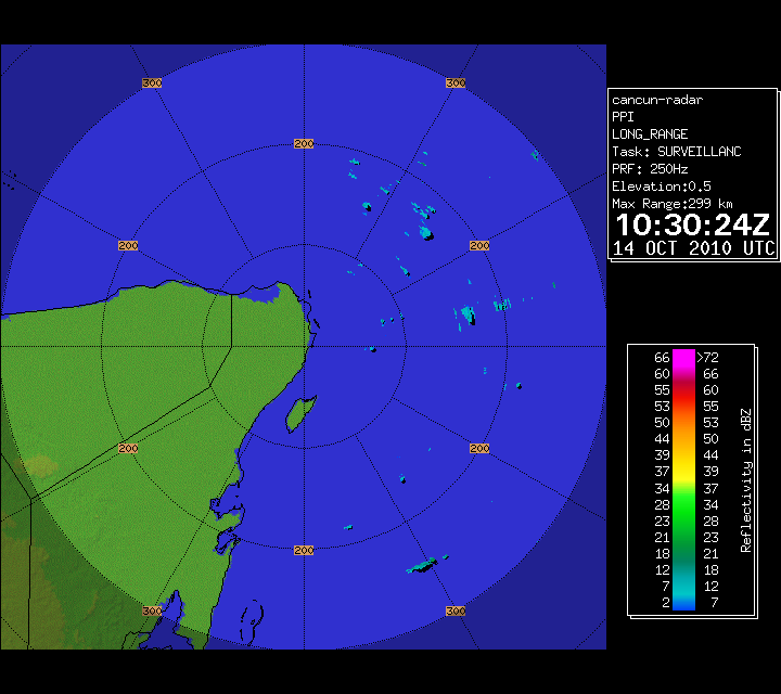
| Paula (2010) | Cancun Radar of Hurricane Paula (2010) Approach
| No | Started:
10/12/2010 02:31pm
Last Updated:
10/14/2010 06:49am
Last Checked:10/14/2010 07:00am
Image Count:140 | 5488 |
| | Florida Radar Recording From SFWMD for TD16/Nicole Approach
Images Mirrored From the South Florida Water Management District Website
Purple Line indicates Forecast Track. | No | Started:
09/29/2010 10:33am
Last Updated:
09/29/2010 08:00pm
Last Checked:09/29/2010 08:07pm
Image Count:66 | 2676 |
| | Western Caribbean Visible Satellite Loop Starting 9/26/2010
| No | Started:
09/26/2010 05:30pm
Last Updated:
10/03/2010 07:15am
Last Checked:10/03/2010 07:30am
Image Count:294 | 2568 |
| | Matthew West Caribbean (2010) Water Vapor Floater Recording
| No | Started:
09/24/2010 02:23pm
Last Updated:
10/03/2010 07:15am
Last Checked:10/03/2010 07:30am
Image Count:379 | 3471 |
| | Matthew (2010) Rainbow Floater Recording
| No | Started:
09/24/2010 10:52am
Last Updated:
10/03/2010 07:15am
Last Checked:10/03/2010 07:30am
Image Count:390 | 4922 |
| | Bermuda Radar Recording of Hurricane Igor (2010) Approach
Mirrored From the Bermuda Weather Service.
Radar updates roughly every 10 minutes.
Bermuda is in Atlantic Standard Time (AST) Which is an hour ahead of Eastern. | No | Started:
09/18/2010 09:23am
Last Updated:
09/20/2010 05:56am
Last Checked:09/20/2010 06:02am
Image Count:254 | 6531 |
| | Alvarado, MX Radar Recording of Karl Approach
| No | Started:
09/16/2010 10:15pm
Last Updated:
09/18/2010 08:45am
Last Checked:09/18/2010 08:45am
Image Count:28 | 3324 |
| | French Antilles Radar Animation for 92L (Sep 2010) Approach
Meteo France updates approximately once every 15 minutes | No | Started:
09/09/2010 04:14pm
Last Updated:
09/11/2010 07:56am
Last Checked:09/11/2010 07:56am
Image Count:609 | 2335 |
| Earl (2010) | Hatteras Lighthouse Cam
| No | Started:
09/02/2010 03:11pm
Last Updated:
09/03/2010 10:15am
Last Checked:09/03/2010 10:15am
Image Count:207 | 1844 |
| Earl (2010) | Mark Sudduth's Webtower Near Bonner bridge in NC/Earl
Visit http://www.hurricanetrack.com | No | Started:
09/02/2010 02:26pm
Last Updated:
09/02/2010 06:00pm
Last Checked:09/02/2010 07:56pm
Image Count:54 | 1655 |
| Earl (2010) | Earl US Approach Radar+More Recording
These images will change during the day from radars and possibly webams following the track of Earl closely. Initial Radars are Morehead City on the Left, and Norfolk/Wakefield on the right. | No | Started:
09/02/2010 09:15am
Last Updated:
09/04/2010 07:14am
Last Checked:09/04/2010 07:14am
Image Count:318 | 1901 |
| Fiona (2010) | French Antilles Radar Animation for Fiona (2010) Approach
Meteo France updates approximately once every 15 minutes | No | Started:
08/31/2010 10:10pm
Last Updated:
09/01/2010 07:08pm
Last Checked:09/01/2010 07:18pm
Image Count:80 | 1941 |
| Earl (2010) | St. Thomas Webcam for Earl (2010) Approach
| No | Started:
08/30/2010 10:35am
Last Updated:
08/30/2010 11:46am
Last Checked:08/30/2010 11:46am
Image Count:20 | 981 |
| Earl (2010) | St. Maarten Webcam for Earl (2010) Approach
The Villas on Great Bay is a Resort on the Southern side of St. Maarten
Visit their website at http://thevillasongreatbay.com/ | No | Started:
08/29/2010 08:18am
Last Updated:
08/30/2010 06:45am
Last Checked:08/30/2010 06:45am
Image Count:314 | 2309 |
| Earl (2010) | Puero Rico/French Antilles Radar Animation for Earl (2010) Approach
Meteo France Updates Roughly once every 15 minutes
Switched over to Puerto Rico Long Range Radar at 9:15 AM EDT 8/30/210 | No | Started:
08/29/2010 07:40am
Last Updated:
08/31/2010 01:07pm
Last Checked:08/31/2010 01:14pm
Image Count:213 | 3454 |
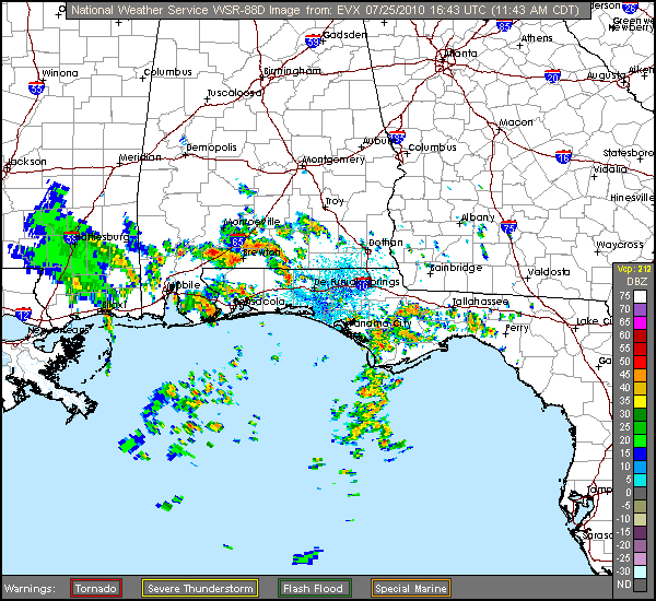
| Bonnie (2010) | Tropical Storm Bonnie South Florida Approach (Radar)
Miami and Norwest Florida Long Range Radar on the left, Tampa Long Range Radar on the Right.
| No | Started:
07/23/2010 07:13am
Last Updated:
07/25/2010 12:50pm
Last Checked:07/25/2010 12:50pm
Image Count:513 | 2010 |
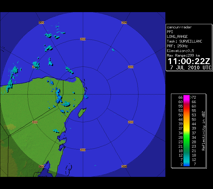
| | Cancun Radar July 2010 96L
Source images from the Mexican Meterological Service / Servicio Meteorologico Nacional | No | Started:
07/06/2010 09:24am
Last Updated:
07/07/2010 07:09am
Last Checked:07/07/2010 07:21am
Image Count:79 | 1381 |
| Alex (2010) | South Padre Island Isla Grand Cam Recording Alex (2010)
This Cam is from Isla Grand Resort Please visit them.
See Location on map
| No | Started:
06/30/2010 12:40pm
Last Updated:
06/30/2010 10:07pm
Last Checked:06/30/2010 10:07pm
Image Count:566 | 2327 |
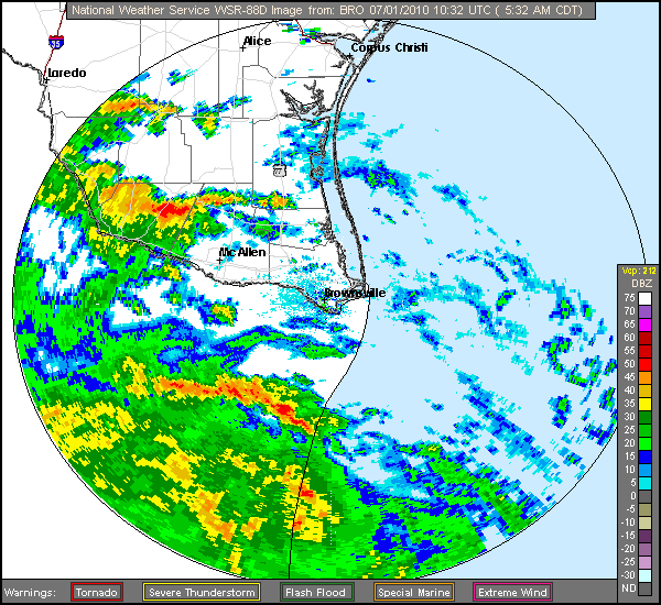
| Alex (2010) | Mexico + Brownsville Radar Recording of Hurricane Alex Approach
Brownsville Radar in on the Right, Altamira, Mexico Radar is on the Left.
Mexican radar was substituted for Brownsville Base Reflectivity around 2:35 PM CDT | No | Started:
06/29/2010 10:32pm
Last Updated:
07/01/2010 06:36am
Last Checked:07/01/2010 06:36am
Image Count:270 | 1914 |
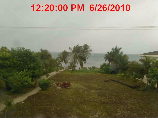
| Alex (2010) | San Pedro Town, Belize
Callum's Webcam | No | Started:
06/26/2010 01:35pm
Last Updated:
06/26/2010 09:24pm
Last Checked:06/26/2010 10:04pm
Image Count:96 | 1694 |
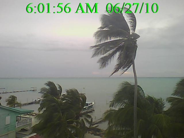
| Alex (2010) | Belize City Cam
| No | Started:
06/26/2010 12:52pm
Last Updated:
06/26/2010 10:00pm
Last Checked:06/26/2010 10:04pm
Image Count:109 | 2611 |
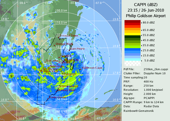
| Alex (2010) | Radar Recording of Belize on Alex (2010) Approach
| No | Started:
06/26/2010 07:33am
Last Updated:
06/26/2010 09:10pm
Last Checked:06/26/2010 10:00pm
Image Count:52 | 2063 |


