MikeC
Admin
Reged:
Posts: 4695
Loc: Orlando, FL
|
|
12:00 PM EDT 3 June 2020 Update
Cristobal made landfall this morning in the state of Campeche just to the west of Ciudad del Carmen and movement continues to be excruciatingly slow, resulting in life-threatening flooding on top of life-threatening flooding, with all-new flooding in locations that are now waterlogged.
This is a very dangerous tropical cyclone. Interests in Central America and portions of S/E Mexico should continue to take significant actions to protect life and property.
From :Quote:
Damaging and deadly flooding has already occurred in portions of Mexico and Central America. Cristobal is expected to produce additional extreme rainfall amounts through the end of the week. The heaviest additional rainfall is expected over far southern Mexico and portions of the Yucatan Peninsula, while also extending along the Pacific coast from Chiapas to Guatemala and El Salvador. This rainfall could cause widespread life-threatening flash floods and mudslides.
4:30 PM 1 June 2020 Update
Invest 93L has continued to develop throughout the day, despite having spent much of the past two days fully over land, and has become a tropical cyclone, TD3, remarkably already the third tropical cyclone of the stunningly fast start to the 2020 Atlantic Hurricane Season.
It appears likely that TD3 will become Tropical Storm Cristobal within the next 24 hours, setting a new record. The current record earliest formation of a third named storm in the Atlantic occurred on June 5, 2016, when Tropical Storm Colin upgraded.
-Ciel
Original Entry
Today marks the first day of the 2020 Atlantic Hurricane season, which has already had named Tropical storms, Tropical Storm Arthur, that formed east of Florida but stayed offshore, closest point to land was in the outer banks. And Tropical Storm Bertha, which formed quickly and made landfall in South Carolina causing some impacts along there, and in the outer banks, as well as a freak training rain system formed by a tail outer band in the Miami area causing major flash flooding.
Last year was most memorable for Hurricane Dorian, which sat over the Northern Bahamas for 24 hours devastating the area and then clipped over the North Carolina Outerbanks.
Once again we’ll be watching out in the Atlantic, and Hawaii if any storms threaten there.
The first regular outlook starts at 2AM on June 1st. And there's already something to track:
Invest 93L, which is the the remnants of Eastern Pacific Tropical Storm Amanda.
This system may move from over Guatemala into the Gulf of Mexico. In fact it has a 60% chance to develop over the next 5 days. Although it may stall or move into Mexico, but there is some chance that it may move further north,
So folks along the Gulf coast from coastal Texas to Louisiana should at least keep up with what's going on here, particularly for Sunday/Monday of NEXT week.
The names for 2020 are the following:
Sales Tax Holiday:
This year Florida has a Hurricane Supply Sales Tax Holiday running from Friday, May 29, 2020, and extends through Thursday, June 4, 2020
This Includes reusable ice packs $10 or less.
$20 or less flashlights, lanterns, candles.
$25 or less: Any gas or diesel fuel container, including LP gas and kerosene containers
$30 or less: Batteries, including rechargeable batteries, excluding automobile and boat
Coolers and ice chests (food-storage; nonelectrical)
$50 or less: tarps, Visqueen, plastic sheeting, plastic drop cloths, and other flexible waterproof sheeting
Ground anchor systems, Tie-down kits, Bungee cords, Ratchet straps, Radios (powered by battery, solar, or hand-crank)
Two-way, Weather band
and Portable Generators Selling for $750 or less.
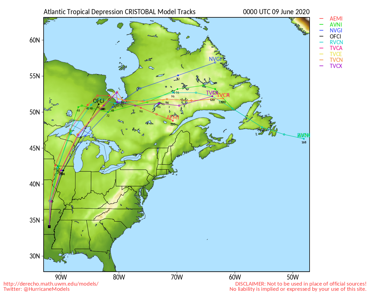
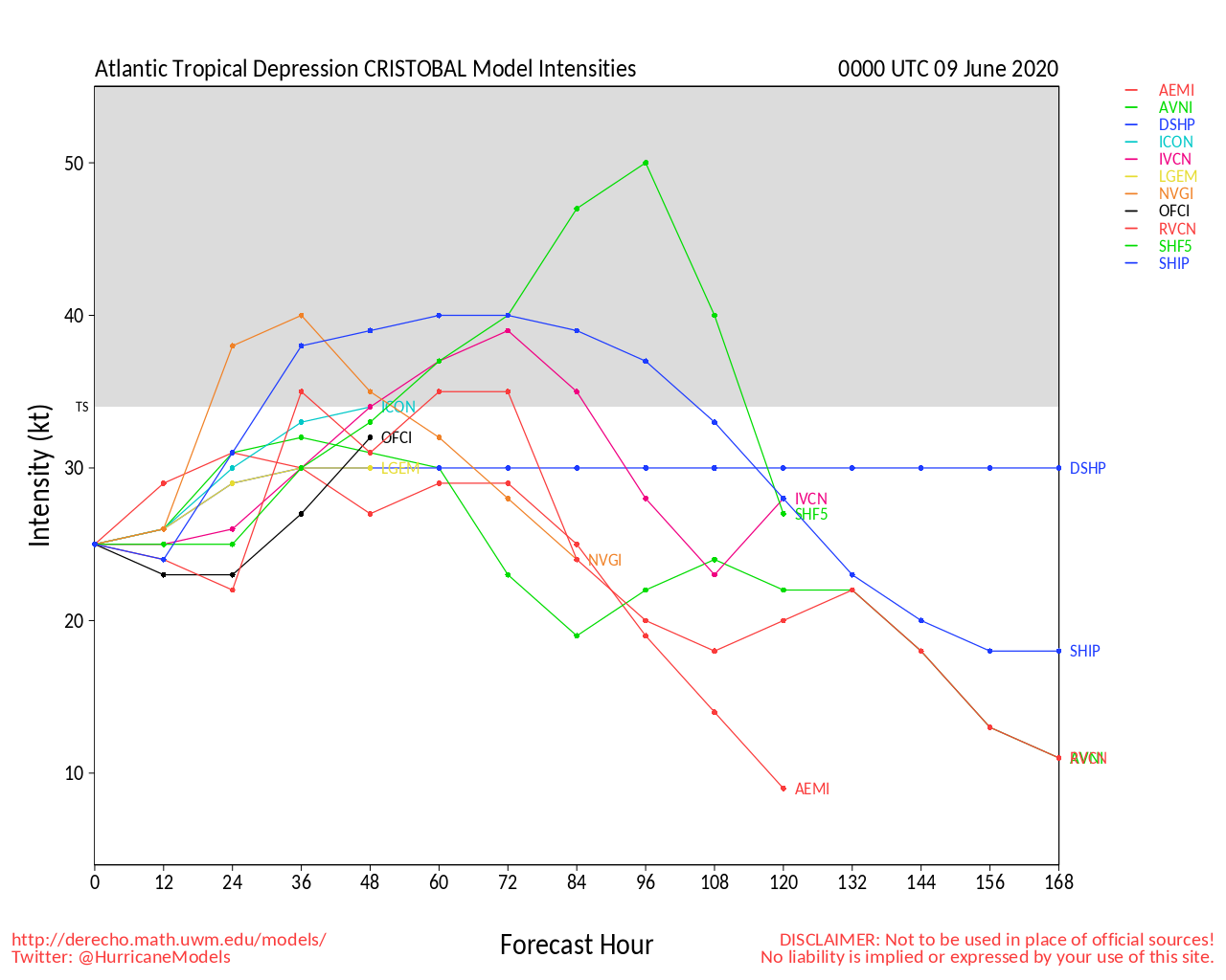
Invest 93L Forecast Lounge
Edited by cieldumort (Wed Jun 03 2020 12:06 PM)
|
|


 Threaded


