
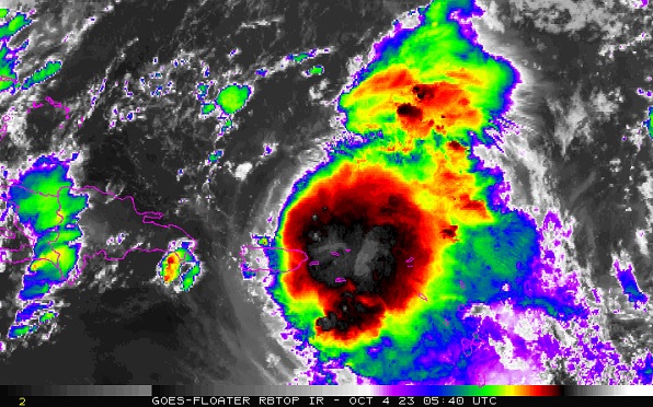
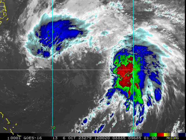
Tropical Storm Philippe has consistently tracked further west than official forecasts and most model runs called for, and has done so at a painfully slow pace, prolonging flooding rains, thunderstorms and tropical storm force winds near and over many northeastern Caribbean islands, including Puerto Rico and the USVI.
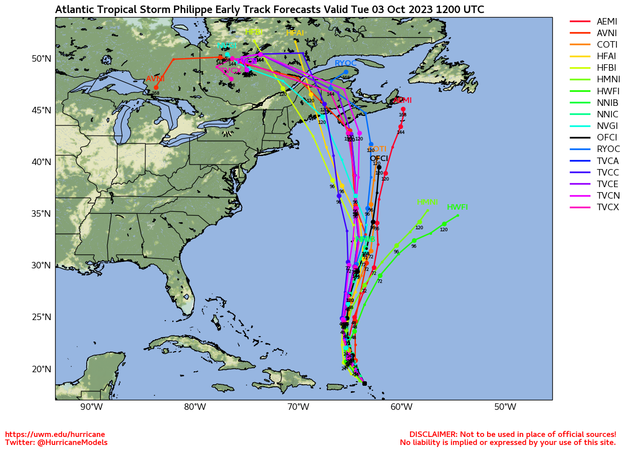
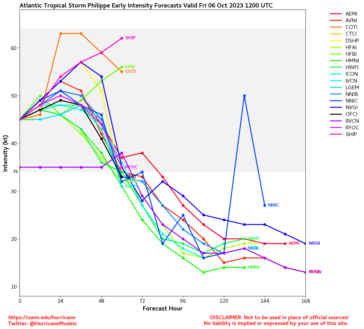
Later this week it appears increasingly likely that Phillipe will intensify upon heading towards Bermuda, and over this weekend is now forecast to make landfall somewhere between roughly Massachusetts and eastern Nova Scotia as a strong Post-Tropical cyclone.
Elsewhere, there is nothing imminent forming close to home as we are close to starting the second week of October, but a few model's runs suggest that the Gulf could start to see some crossovers from the eastern Pacific by next week, and is something to watch for.
Philippe Event Related Links
SFWMD Model Plot (Animated Model Plot) SFWMD Hurricane Page
[https://flhurricane.com/floatanimator.php?year=2023&storm=17 Flhurricane Satellite Floater Animation of Philippe
GOES Floater
Animated Model Plot of Philippe
Clark Evans Track Model Plot of Philippe
(Animated!) Model Plots in Google Earth - In Google Maps
Clark Evans Intensity Model Plot of Philippe (Animated!)
Clark Evans Track Plot of Philippe
Other Model Charts from Clark
Clark Evans Top 10 Analog Storms for Philippe
More model runs on from RAL/Jonathan Vigh's page
NRL Info on Philippe -- RAMMB Info
COD Atlantic Satellite View
StormCarib Reports from the Caribbean Islands
Caribbean Weather Observations
Barbados Brohav Weather Fax
Full Caribbean Radar Composite
Caribbean Broadcast Corporation (TV/Radio from Antilles)
San Juan, PR NWS Page
Various Caribbean Radio Stations
DR1 Dominican Republic Hurricanes
Bermuda Newspapers/Media:
BerNews
Royal Gazette (Bermuda)
Bermuda Sun
Hott 107.5 Bermuda Radio
Storm Carib Bermuda Reports
Bermuda Weather Service