3:00 PM EDT 10 October 2021 Update

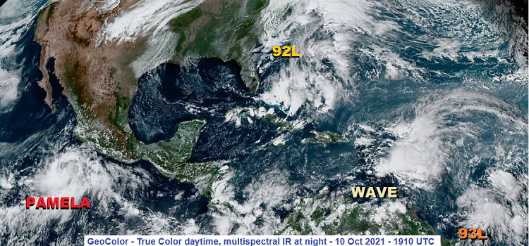
The fish spinning is largely over, although fortunately thus far the systems much closer to land have struggled to develop, outside of East Pac 91E (now TD 16 and soon-to-be Pamela).
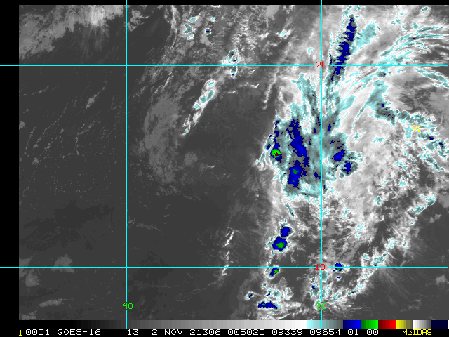
We are now also tracking newly Invest-tagged 93L, a vigorous tropical wave located about 500 miles east-southeast of the Windwards. Interests in the central and northern Lesser Antilles may want to keep an eye on this one.
-Ciel
Original Update
October has started out quiet around the states, much like last month ended. Things may now be starting to pick up a little, but not all from directions the continental United States is used to seeing.
First and foremost, Invest 92L is just off the coast of the Carolinas as of this post, and recon is now investigating the system. It looks very possible for 92L to become a named hybrid system, with some chance of even transitioning into a Tropical Cyclone prior to coming closer to the coast, but the window for naming may be cut short, as may its designation as a sub-tropical or tropical storm. Either way, interests at sea and along the coast of the Carolinas can expect some Storm intensity conditions this weekend and perhaps early next week from this system, named or not.
Recon is flying through 92L today, Saturday, and may give the system a name later today or tonight, with Watches and Warnings likely going up along the N. Carolina coast if that is the case. The next name on the list in the Atlantic is Wanda. 92L Forecast Lounge
Elsewhere, a developing system in the eastern Pacific is largely expected by most models to make a sharp hook right into and through mainland Mexico, with some semblance of the system intact into portions of Texas and/or the western Gulf of Mexico, and we are watching this if for no other reason than for the likelihood of significant rains with flooding risks over portions of Texas and Gulf-facing eastern Mexico, even up to several days after initial landfall along western Mexico. The next name on the list in the eastern Pacific is Pamela. 16E Forecast Lounge


 Threaded


