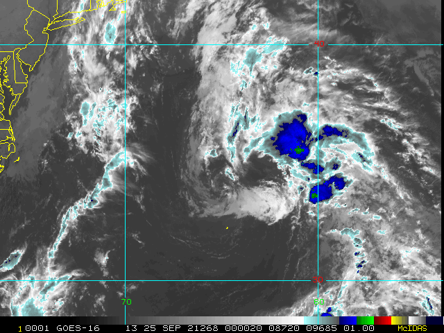
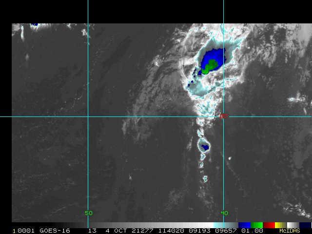
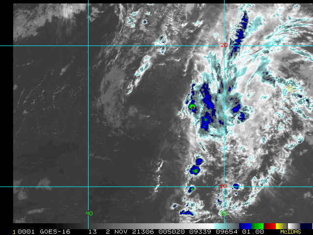
8:30 PM EDT 25 September 2021 Update
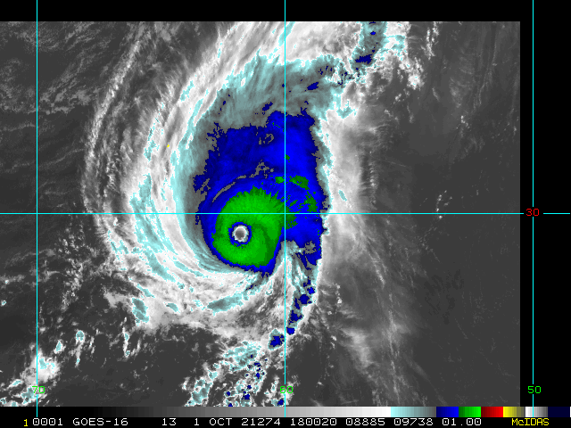
Sam is now possibly a Cat 5 - awaiting review and quality control at which could come with a special update - Either way, Sam is a very rare breed of hurricane. With Sam, there are now two known high-end Cat 4 or Cat 5 hurricanes to form during late September or later in any part of the Atlantic east of the Caribbean; the only other known example being Lorenzo. h/t Sam Lillo
11:30 AM EDT 23 September 2021 Update
TD 18 is now Tropical Storm Sam and Odette has better than even odds of having advisories restarted today or tomorrow. But even with this additional activity, the fishing continues, for now.
8:30 AM EDT 22 September 2021 Update
Peter and Rose are depressions, and both remaining out to sea. Peter heading north and eventually northeast, and rose looping back.
The other areas include, Odette's remnants in the north Atlantic which has a 50% chance to develop.
And 98L, which is the most potential for impacts, with a 90% chance to develop into a storm, the next name on the list is Sam. This has more mixed model future, with it diverging after the typical model run length of 5 days in the longer range model runs. Right now, it's likely to be another system that stays out to sea, in the very active fish soup that has been late September, but this may be the first one of the new series that could buck the trend--but this is still fairly unlikely--, so it'll have to be monitored by the Eastern Caribbean islands into later next week to see what happens. More should be known by the end of the weekend for them.
Original Update
Steering currents have been generally deflective of systems that would otherwise be approaching the Caribbean and/or US lately, and this trend continues heading into the new week. Some of the longer range models suggest that this will not last and of course that is also common sense this time of year. We will be watching.
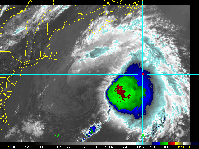
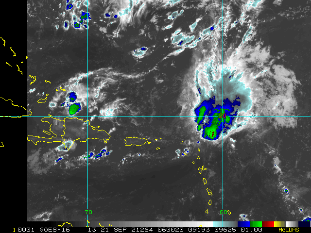
Closest to home, Tropical Storm Peter remains very sheared as he is also being directed north of the Leeward Islands and is expected to be turned north or even north-northeast by mid-week, thus also largely missing the Bahamas. Bermuda may want to watch later this week, however.
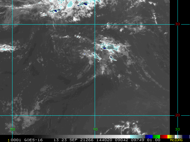
Way out in the eastern Atlantic Tropical Storm Rose is also battling shear and increasingly struggling with dry air. As points out, this is a thorny predicament for the fish spinner. There is an outside chance Rose tracks more west than forecast, but most models indicate a northerly recurve way out at sea by mid-week.
The remnants of Odette are being watched for any signs of redevelopment in the north Atlantic when about halfway between Newfoundland and the Azores mid-week. Low 30% odds, but interesting.
Newly Invest tagged 98L is probably the most likely candidate worth keeping an eye on for any real chance of sneaking in towards more western Atlantic land, but this is a very long way off still with plenty of time to watch. Sam Forecast Lounge
Lacking an unexpected home-grown disturbance, with the possible exception of Peter impacting Bermuda, it looks like fish spinners for a while.
Edited by MikeC (Wed Sep 29 2021 11:18 PM)


 Threaded

