8:00AM EDT 22 September 2024 Update
The area in the West Caribbean now has a 70% chance to develop over the next 7 days and a 10% chance to develop in the next 48 hours. This area is likely to impact Florida in some form by the end of the week. With the Panhandle or Big bend the most likely, but since the system has not formed yet, and likely will not until Tuesday or Wednesday it could wind up shifting a bit east or west of there, including the peninsula. The ensemble spread of the models covers coastal Mississippi through all of Florida, and with a system that hasn't developed the track could be anywhere in that region. Intensity wise it's a mix from Tropical storm to Major hurricane depending on the model. The issue being we won't know for a few days, and impacts in Florida could be felt as soon as Thursday night, with rain and surge felt to the east of wherever landfall is made. The system hasn't organized enough to be tracked as an invest area yet so targeted hurricane models have yet to run on it.
In short, if you are along the west coast of Florida or Panhandle, pay attention to this system very closely, especially Tuesday when we may have more details on what type of impacts and where. Just be aware it could be fairly short notice before landfall.
The other two areas are a 20% area (96L) and a 40% area well east of land at this point.
2:40PM EDT 15 September 2024 Update
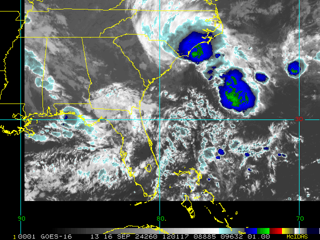
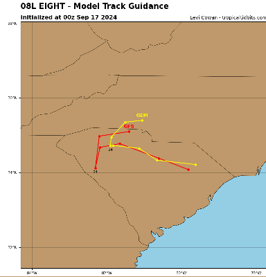
PTC EIGHT is no longer forecast by to become a tropical cyclone. Tropical Storm-like conditions are still underway, and a Tropical Storm Warning is in effect for South Santee River, South Carolina northward to Ocracoke Inlet, North Carolina
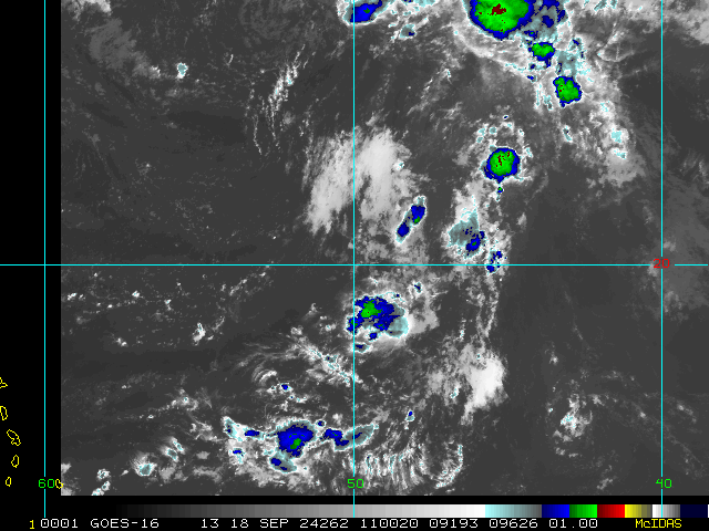
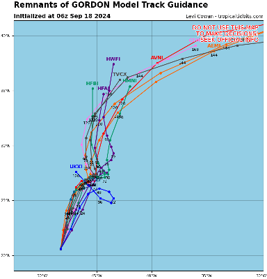
Elsewhere, Gordon continues barely quali1fying as a Tropical Depression way out in the central Tropical Atlantic.
11PM CDT 15 September 2024 Update
Gordon barely hanging on as a weak Tropical Depression way out in the central Tropical Atlantic.
Closer to home, a hybrid that is expected to become a brief tropical storm is tracking towards the southeast , now Potential Tropical Cyclone Eight. The next name on the list this year is Helene.
Original Update
We are now technically just past peak, but also with still more than 50% of the hurricane activity to come, based on climatology. This is especially so for Florida, where hurricanes, including majors, often strike up through the end of October.
Now that formerly Cat 2 Francine is a 35 MPH inland TD undergoing extra-tropical transition, we are turning back attention to a few other features that have been worth watching.
First worth noting is Invest 94L now located just east of the Leewards. This vigorous area of low pressure continues firing deep convection today, despite being surrounded by some dryer air and during daylight, which tends to provide a less stable atmosphere to work with. Interests in the Leewards to Greater Antilles may want to watch this feature, as it is small and has been flying a bit under the radar so to speak.
Off the southeast coast, a non-tropical area of low pressure is trying to form that by later this weekend or early next week could acquire subtropical or even tropical characteristics.
Elsewhere, TD 7 way out in the eastern Atlantic is worth monitoring as it could become a long-track CV type system that if not sent fishing, could be of concern later next week.
Edited by MikeC (Sun Sep 22 2024 08:15 AM)


 Threaded


