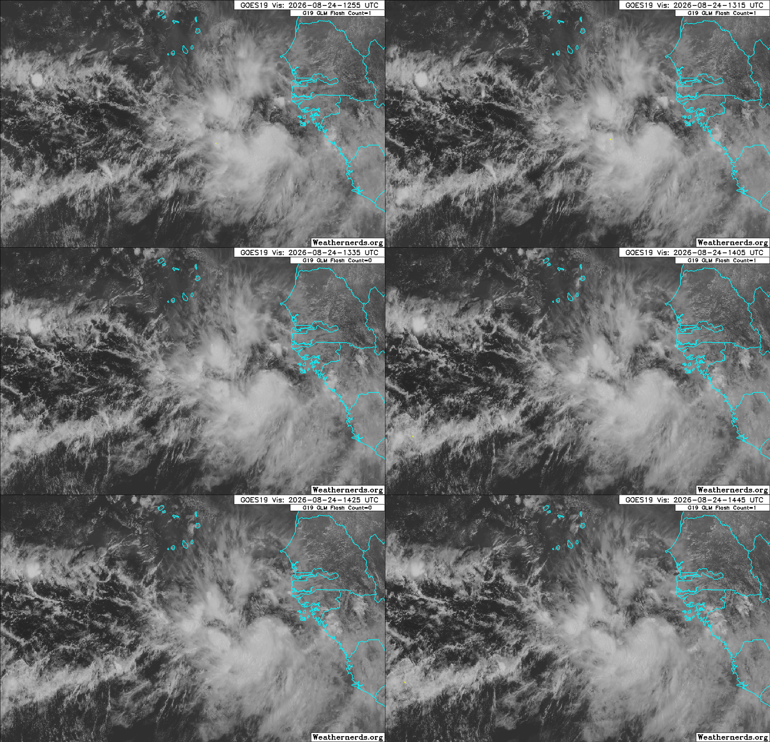
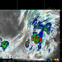
A robust tropical wave that has just rolled into the far eastern Atlantic from western Africa is being closely monitored by NHC for development potential. Conditions for development in the Tropical Atlantic extending out to western Africa are less hostile than they had been over the prior days during the month of August, and it seems like this one has a better chance. Model support is pretty warm overall, but there has been some back and forth, and it is not yet entirely clear that the low several runs want to develop are in fact this exact disturbance.
Considering that this wave is expected to track further west under high pressure to its north, could perhaps impact some land in the very extended range, and is more likely than not to become a named storm, we are starting a Lounge on it at this time. There is not yet an Invest tag, but this should be assigned any day now. NHC odds are 60% within 5 days for tropical cyclogenesis.
The robust wave we have been monitoring has been Invest-tagged this afternoon, 96L, and the title has been updated accordingly. 2026-08-24 18:00 11.0N 18.5W 20 KTS Ciel
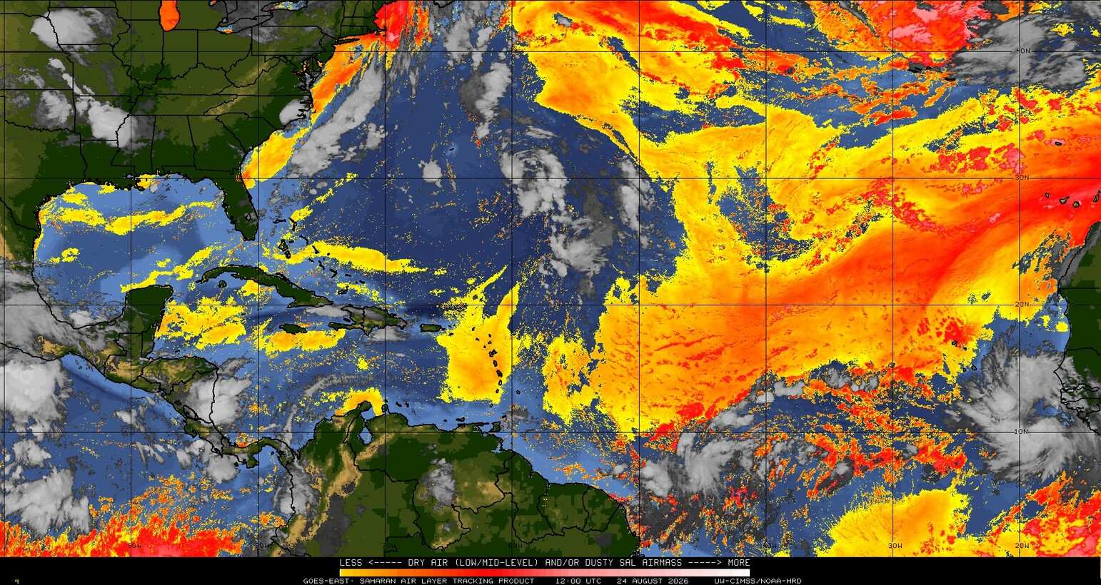
There is still quite a lot of dry, dusty air out there today. Some forecasts suggest that this wave should be tracking west while cocooned from most of it and/or that the amount of dry, dusty air will subside basin-wide this week.
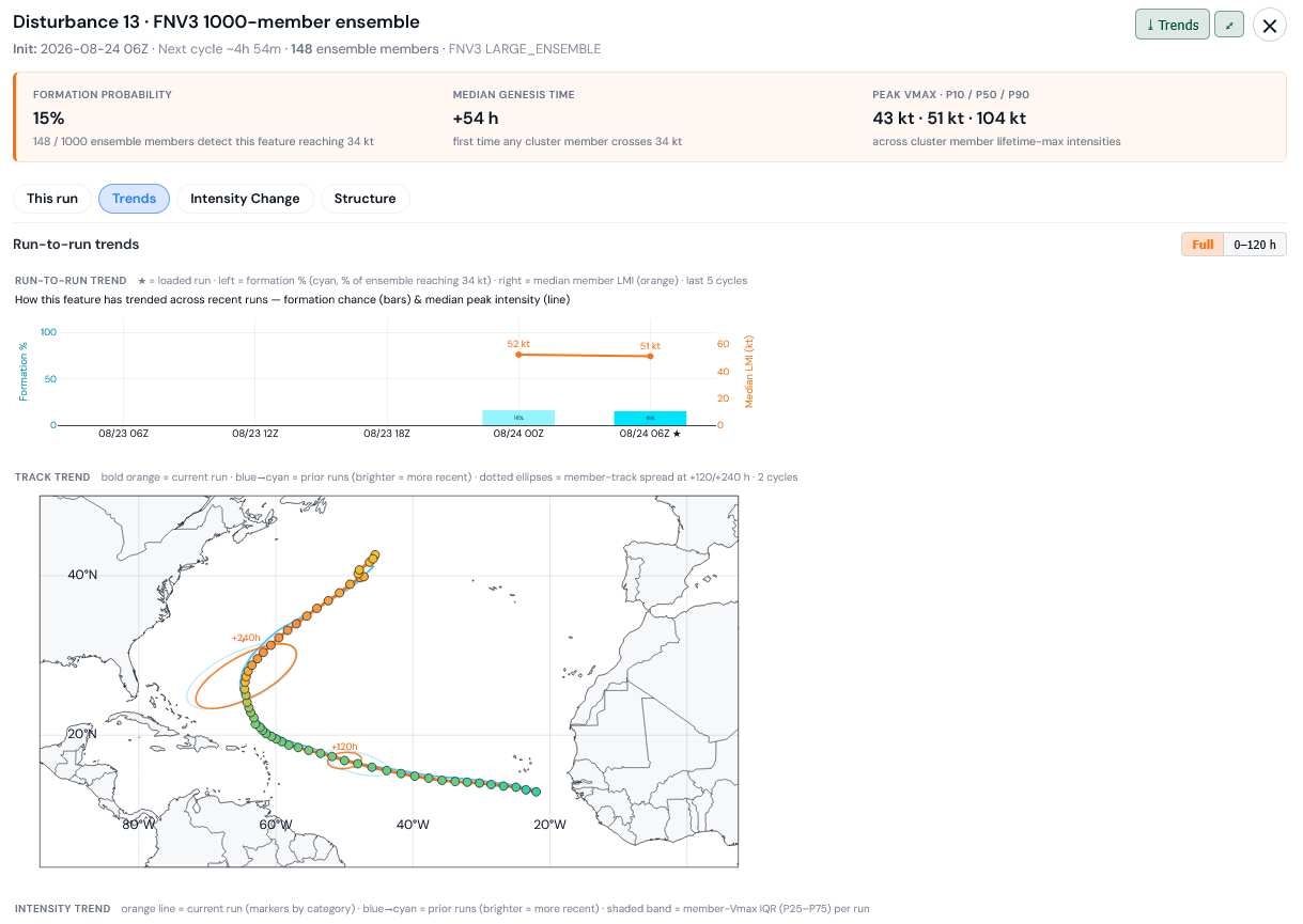
The most recent full 1,000 member run of Google's DeepMind FNV3 advertises only a 15% chance of becoming a named storm, and if it does, it would favor recurving prior to a direct hit on land.
Image/graphic credit: TC-ATLAS



 Previous
 Index
Index
 Next
Next
 Threaded





 Edit
Edit
 Reply
Reply
 Quote
Quote