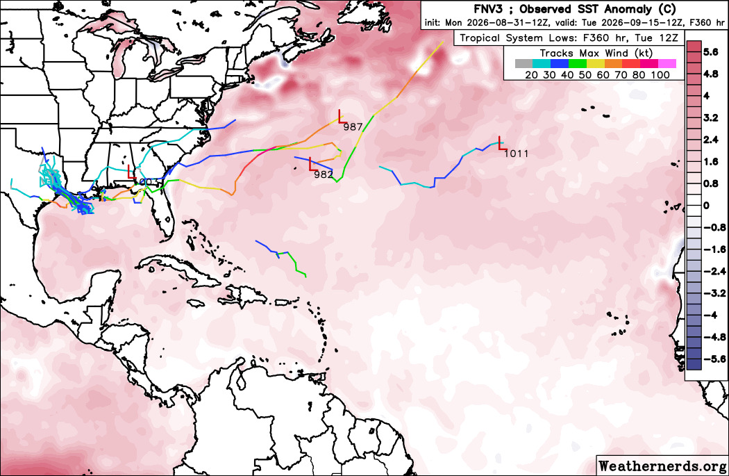
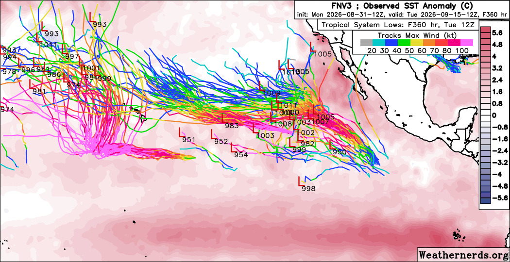
Beyond TD#5 and Dolly there's not much to discuss in the Atlantic. East of Florida is an interesting convective area, but no vorticity to speak of, so that won't develop. Outside of that Nothing really in the open Atlantic, and anything new probably would come from something short fused and close by like TD#5/97L which may get to a strong tropical storm. North Atlantic may also have another short lived system. Getting any hurricanes this year continues to be a struggle in the Atlantic. On the pacific side, no such problem exists. Just comparing the overall conditions between the two basins shows the striking difference.
Atlantic:
East Pacific: ]
The non-AI models are significantly more east on the right most east pacific system (EP95) which means it could potentially impact Tijuana/Baja or Southern California. But that's incredibly unlikely also.



 Previous
 Index
Index
 Next
Next
 Threaded


 [Re:
[Re:  Edit
Edit
 Reply
Reply
 Quote
Quote
 ]
]

